252 Colombo Street, Sydenham
29 reports on record since April 2018 · 26 with photographs. The street’s heaviest record is 468 Colombo Street — 71 reports on file. Indicative rating valuation and school zones, hazards, bin day and what stood here before.
What gets reported here
Photographed here 26 on record






Reported here
 Street Gutters / Storm Water —
 rubbish dumped in drain, blocking stormwater
 Graffiti on a fence, building or structure —
 graffiti stickers on bin
 Graffiti on a fence, building or structure —
 graffiti stickers and graffiti on wall
 Graffiti on a fence, building or structure —
 graffiti stickers and graffiti on wall
 Graffiti on a sign, mural or public art —
 graffiti on salvation army signage
 Graffiti on a fence, building or structure —
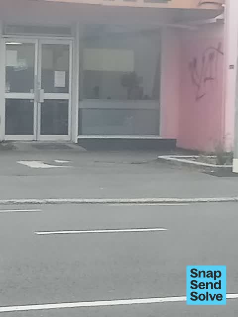
 graffiti on side pink in color
 Graffiti on a fence, building or structure —
 Graffiti on building
 Graffiti on a fence, building or structure —
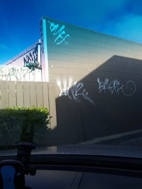
 Graffiti on building of jambo food centre
 Graffiti on a sign, mural or public art —
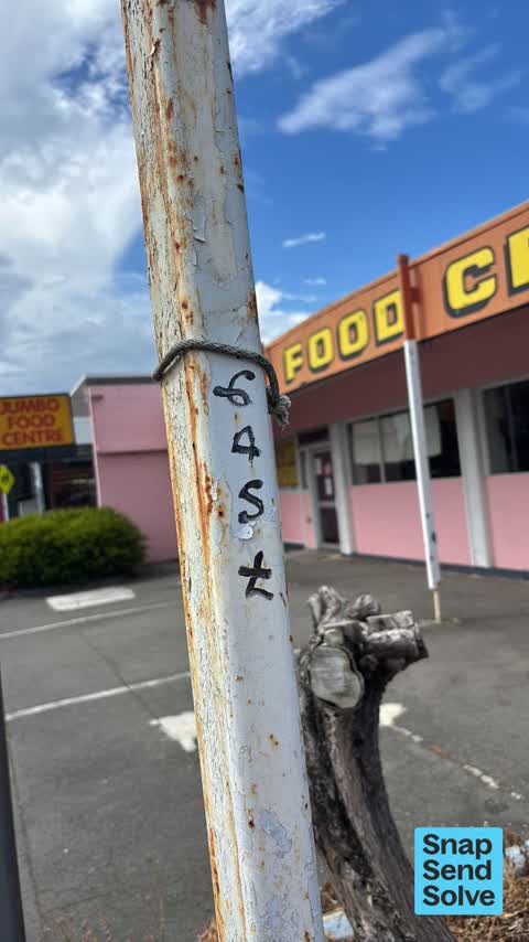
 EAST black paint tag on notice board post at 252 Colombo Street facing the footpath.
 Graffiti somewhere else —
  Graffiti —
 - Dumped Rubbish —
- Overgrown Vegetation —
 Graffiti —
 KFC drive thru And back of jumbos
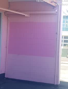 Graffiti —
 252 Colombo st ticket number 360729 already done
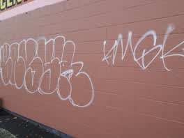 Graffiti —
 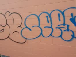 Graffiti —
 Graffiti —
Graffiti —
Please use black paint Thanks
- Graffiti —
Graffiti —
Graffiti —
Graffiti —
Graffiti —
Graffiti —
Graffiti —
Graffiti —
Graffiti —
Graffiti —
Also reported on Colombo Street
- 468 Colombo Street — 71 reports
- 300 Colombo Street — 66 reports
- 303 Colombo Street — 64 reports
- 504 Colombo Street — 56 reports
- 340 Colombo Street — 52 reports
- 406 Colombo Street — 37 reports
- 500 Colombo Street — 36 reports
- 420 Colombo Street — 36 reports
The street’s crash record
NZTA’s record names Colombo Street in 200 crashes that hurt somebody since 2006 — 2 people killed, 35 seriously hurt.
The green nearby
- Bradford Park — 241 m to the edge · Sports ground · 3 ha
- Jacksons Creek — 317 m to the edge
- Sydenham Park — 325 m to the edge · Sports ground · 5 ha
- Cadogan Reserve — 340 m to the edge
- Southey Reserve — 352 m to the edge
Parks within half a kilometre, measured to the boundary — the council’s open data.
On the doorstep
- Jumbo Food Centre — 7 m away · Fast food
- KFC Colombo Street — 24 m away · Fast food
- KFC — 28 m away · Fast food
- Family Store — 34 m away · Op shops
Businesses within four hundred metres, measured at the pin — OpenStreetMap and the council directories.
The bus nearby
The closest Metro stops, within four hundred and fifty metres.
The tracks through here
- Walk and bike track through Sydenham — 20 m to the line · walk · bike
- Walk and bike track through Sydenham — 71 m to the line · walk · bike
- Walk and bike track through Sydenham — 187 m to the line · walk · bike
- Walk and bike track through Sydenham — 386 m to the line · walk · bike
Tracks whose line passes within half a kilometre, measured to the line itself — the council’s open data.
The named ground
Named water within 500 m of this address, measured to the line or the edge; the council’s own structure register — bridges, boardwalks and steps standing nearby — the open map’s record.
Renting nearby
new bonds in Sydenham ran about $518 a week — $32 below the city median of $550 — the suburb page keeps the rent record →.
What was here — Dwelling and Setting
111 m away · 6 Shelley Street · located to ±6 m · the place’s own record →
On the register. Nothing researched here yet.
What was here — Dwelling and Setting
133 m away · 5 Shelley Street · located to ±8 m · the place’s own record →
On the register. Nothing researched here yet.
What was here — Dwelling and Setting
163 m away · 12 Drummond Street · located to ±7 m · the place’s own record →
On the register. Nothing researched here yet.
What was here — Former MED Substation and Setting
225 m away · 259 Milton Street · located to ±15 m · the place’s own record →
On the register. Nothing researched here yet.
The civic layer
This ground votes in Heathcote ward — the Spreydon-Cashmere-Heathcote community board. Ward lines don’t always follow suburb lines; this one is measured at the pin, not the suburb’s centre.
What stood on this ground → · On the map → · From the air — the Crown’s aerials back to 1936; search the address on RetroLens →
Questions, answered briefly
29 council reports on record since April 2018 — most often graffiti (17), graffiti on a fence, building or structure (6), graffiti on a sign, mural or public art (2).
Sydenham, Christchurch — on Colombo Street.
The heritage register names 4 places at or beside it — Dwelling and Setting, Dwelling and Setting.
Bradford Park — 241 m to its edge, 3 ha.