326 Colombo Street, Sydenham
18 reports on record since March 2020 · 11 with photographs. The street’s heaviest record is 468 Colombo Street — 71 reports on file. Indicative rating valuation and school zones, hazards, bin day and what stood here before.
What gets reported here
Photographed here 11 on record


Reported here
 Trees - General —
 Tree requires trimming around lower trunk
 Poles and Signage - General —
 Sinage
 Graffiti somewhere else —
 Green main gates of park tagged
 Graffiti somewhere else —
 Curb
 Graffiti somewhere else —
  Graffiti somewhere else —
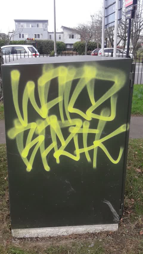
  Graffiti —
 Cabinet near east entrance gates to park
- Graffiti —
- Graffiti —
- Street Gutters / Storm Water —
- Graffiti —
- Road Signage —
- Graffiti —
- Graffiti —
 Dumped Rubbish —
 Wheel hub placed by bin requires collection
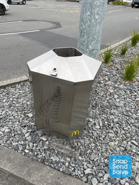
 Rubbish and Bins - General —
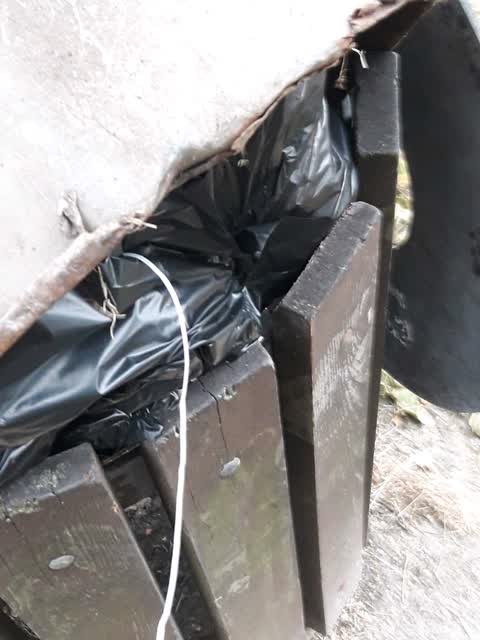
 Overloaded rubbish bin
 Graffiti —
 Parks —
Also reported on Colombo Street
- 468 Colombo Street — 71 reports
- 300 Colombo Street — 66 reports
- 303 Colombo Street — 64 reports
- 504 Colombo Street — 56 reports
- 340 Colombo Street — 52 reports
- 406 Colombo Street — 37 reports
- 500 Colombo Street — 36 reports
- 420 Colombo Street — 36 reports
The street’s crash record
NZTA’s record names Colombo Street in 200 crashes that hurt somebody since 2006 — 2 people killed, 35 seriously hurt.
The green nearby
- Sydenham Park — 69 m to the edge · Sports ground · 5 ha
- Cadogan Reserve — 303 m to the edge
- Buchan Playground — 330 m to the edge
- Jacksons Creek — 362 m to the edge
- Bradford Park — 457 m to the edge · Sports ground · 3 ha
Parks within half a kilometre, measured to the boundary — the council’s open data.
On the doorstep
- McDonald's — 30 m away · Fast food
- McDonalds Family Restaurant Sydenham — 31 m away · Fast food
- Subway — 69 m away · Fast food
- Canterbury Recruitment — 71 m away · Recruitment
Businesses within four hundred metres, measured at the pin — OpenStreetMap and the council directories.
The bus nearby
- Colombo St near Hastings St W — 65 m away · route 1, route 44
- Colombo St near Walton St — 111 m away · route 1, route 44
The closest Metro stops, within four hundred and fifty metres.
The tracks through here
- Walk and bike track through Sydenham — the line crosses here · walk · bike
- Walk and bike track through Sydenham — 234 m to the line · walk · bike
- Walk and bike track through Sydenham — 356 m to the line · walk · bike
Tracks whose line passes within half a kilometre, measured to the line itself — the council’s open data.
The named ground
Named water within 500 m of this address, measured to the line or the edge; the council’s own structure register — bridges, boardwalks and steps standing nearby — the open map’s record.
The remembered names nearby
- This Fountain Was Moved and Resited by the City Council — 74 m away ·
THIS FOUNTAIN WAS MOVED AND RESITED BY THE CITY COUNCIL ON THE HUNDREDTH ANNIVERSARY OF TH
· 2009 - Sydenham Park plaque — 118 m away
- Sydenham Park plaque — 248 m away
Inscribed plaques within two hundred and fifty metres — the register’s pins, not surveyed spots. The whole roll is at /plaques.
Renting nearby
new bonds in Sydenham ran about $518 a week — $32 below the city median of $550 — the suburb page keeps the rent record →.
What was here — King Edward VII Coronation Memorial Lamp and Drinking Fountain and Setting
75 m away · located to ±1 m · the place’s own record →
On the register. Nothing researched here yet.
The civic layer
This ground votes in Heathcote ward — the Spreydon-Cashmere-Heathcote community board. Ward lines don’t always follow suburb lines; this one is measured at the pin, not the suburb’s centre.
What stood on this ground → · On the map → · From the air — the Crown’s aerials back to 1936; search the address on RetroLens →
Questions, answered briefly
18 council reports on record since March 2020 — most often graffiti (7), graffiti somewhere else (4), trees - general (1).
Sydenham, Christchurch — on Colombo Street.
The heritage register names a place at or beside it — King Edward VII Coronation Memorial Lamp and Drinking Fountain and Setting.
Sydenham Park — 69 m to its edge, 5 ha.