44 Waltham Road, Sydenham
12 reports on record since June 2015 · 10 with photographs. The street’s heaviest record is 255 Waltham Road — 99 reports on file. Indicative rating valuation and school zones, hazards, bin day and what stood here before.
What gets reported here
Photographed here 10 on record



Reported here
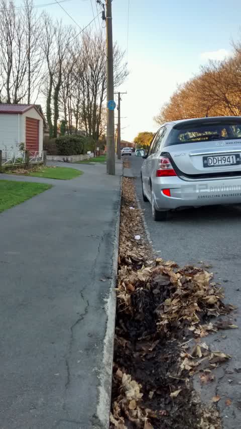
 Street Gutters / Storm Water —
 the gutter adjacent to north west corner of Waltham Park is quite deep and full of leaves- my wife stood in it as she couldnt see the depth
 Dumped Rubbish —
  Dumped Rubbish —
 Dumped blanket
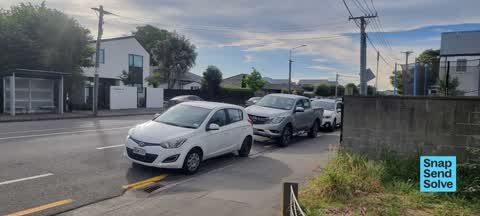
 Hazard — vehicle —
 2 vehicles parked on yellow lines. Recurring by multiple cars.
 Hazard — vehicle —
 Parked on yellow lines obstructing sight lines from bunyan street
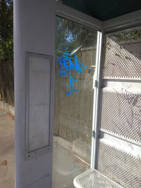
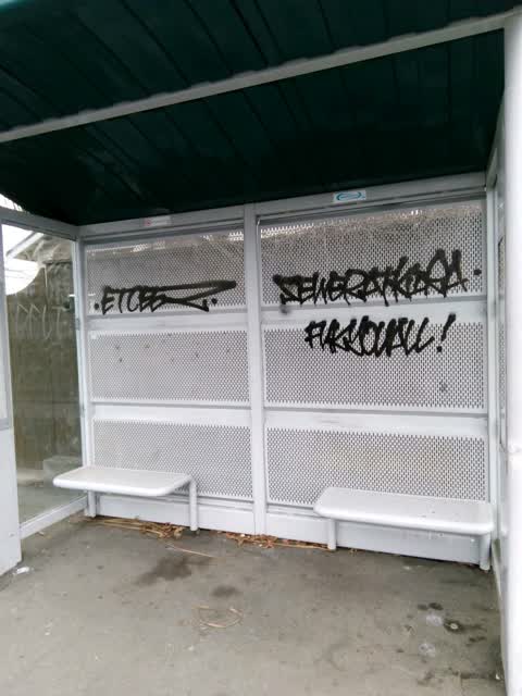
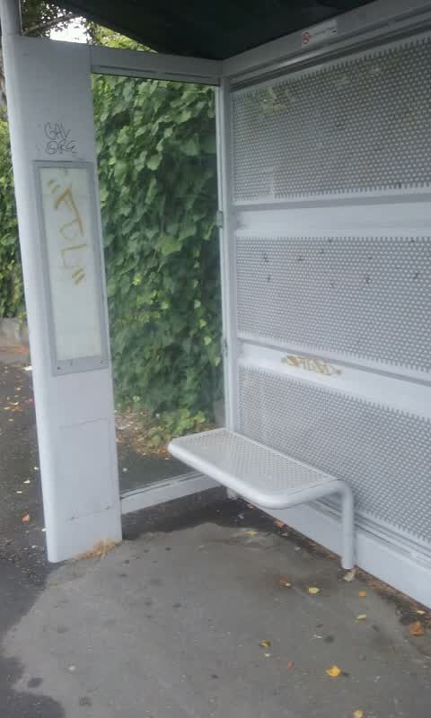
- Graffiti —
- Graffiti —
Graffiti —
bus shelter
Graffiti —
At bus shelter 32829
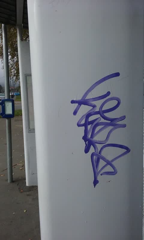
Graffiti —
at bus stop Stop No 32829
Graffiti —
Bus stop No 32829
Wastewater/Stormwater —
Large amount of leaves in drain and sump, sump outlet pipe half blocked. Sump is double sump on NE corner Waltham and Bunyan
Also reported on Waltham Road
- 255 Waltham Road — 99 reports
- 373 Waltham Road — 41 reports
- 60 Waltham Road — 39 reports
- 64 Waltham Road — 38 reports
- 67 Waltham Road — 36 reports
- 37 Waltham Road — 36 reports
- 197 Waltham Road — 36 reports
- 111 Waltham Road — 36 reports
The street’s crash record
NZTA’s record names Waltham Road in 67 crashes that hurt somebody since 2006 — 8 seriously hurt, nobody killed.
The green nearby
- Waltham Park — 23 m to the edge · Sports ground · 3 ha
- Cameron Reserve — 359 m to the edge
- Mabel Howard Reserve — 382 m to the edge
- Tommy Taylor Reserve — 427 m to the edge
Parks within half a kilometre, measured to the boundary — the council’s open data.
On the doorstep
- Mountain Bike Adventure Company — 131 m away · Attractions
- Waltham Summer Pool — 161 m away · Sports centres
- Waltham Medical Centre — 216 m away · Doctors & clinics
- PhysioMed Waltham — 226 m away · Physio
Businesses within four hundred metres, measured at the pin — OpenStreetMap and the council directories.
The bus nearby
The closest Metro stops, within four hundred and fifty metres.
The tracks through here
- Walk and bike track through Sydenham — 7 m to the line · walk · bike
- Walk and bike track through Sydenham — 19 m to the line · walk · bike
- Walk and bike track through Sydenham — 213 m to the line · walk · bike
- Walk and bike track through Sydenham — 242 m to the line · walk · bike
- Walk and bike track through Sydenham — 458 m to the line · walk · bike
Tracks whose line passes within half a kilometre, measured to the line itself — the council’s open data.
The named ground
Named water within 500 m of this address, measured to the line or the edge; the council’s own structure register — bridges, boardwalks and steps standing nearby — the open map’s record.
The remembered names nearby
- Waltham Park plaque — 202 m away ·
(WWI memorial names panel – multiple names listed)
· 2000 - Waltham Park plaque — 205 m away ·
(WWI memorial names panel – multiple surnames visible; full list unreadable)
· 2000
Inscribed plaques within two hundred and fifty metres — the register’s pins, not surveyed spots. The whole roll is at /plaques.
Renting nearby
new bonds in Sydenham ran about $518 a week — $32 below the city median of $550 — the suburb page keeps the rent record →.
The civic layer
This ground votes in Heathcote ward — the Spreydon-Cashmere-Heathcote community board. Ward lines don’t always follow suburb lines; this one is measured at the pin, not the suburb’s centre.
What stood on this ground → · On the map → · From the air — the Crown’s aerials back to 1936; search the address on RetroLens →
Questions, answered briefly
12 council reports on record since June 2015 — most often graffiti (6), hazard — vehicle (2), dumped rubbish (2).
Sydenham, Christchurch — on Waltham Road.
Nothing on the heritage register at this exact spot — the record around this ground →
Waltham Park — 23 m to its edge, 3 ha.