471 Colombo Street, Sydenham
16 reports on record since August 2015 · 11 with photographs. The street’s heaviest record is 468 Colombo Street — 71 reports on file. Indicative rating valuation and school zones, hazards, bin day and what stood here before.
What gets reported here
Photographed here 11 on record


Reported here
 Overgrown Vegetation —
 food path unusable because of vegetation.
 Graffiti on a fence, building or structure —
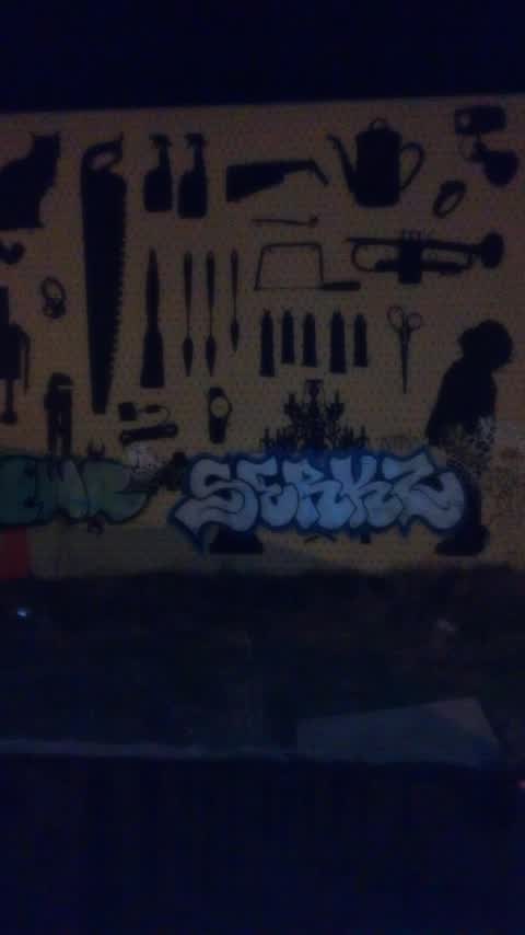
 Graffiti on building of The drawing room building
 Graffiti on a sign, mural or public art —
 Back side of the sign
 Hazard — vehicle —
 Ongoing issue with cars parked over footpath on cass street
 Road Signage —
 50 sign needs re-erecting or removing on Cass Street near the corner of Colombo Street.
 Graffiti —
 Black paint tags on reverse side of sign on Cass Street near Colombo Street.
 Hazard — vehicle —
 Common to see many people parking across the pavement on Cass St but this one’s more extreme than usual.
- Graffiti —
- Graffiti —
- Damaged Street Sign —
- Graffiti —
- Graffiti —
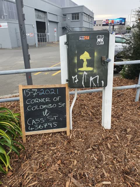
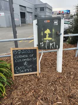 Graffiti —
 Painted out by PEEEP Trust 15-7-2021 corner of Colombo st and acass st 436795
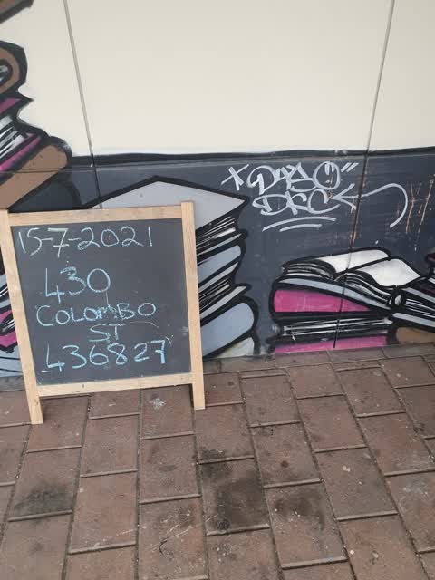
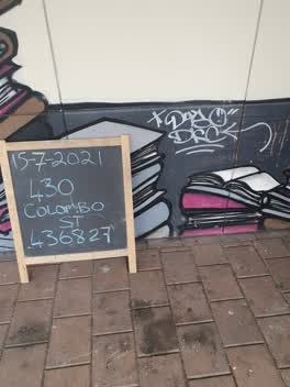 Graffiti —
 Painted out by PEEEP Trust 15-7-2021 430 Colombo Street 436827
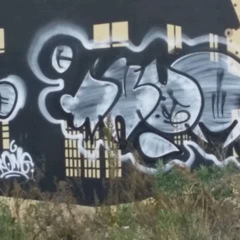
Graffiti —
Graffiti —
Also reported on Colombo Street
- 468 Colombo Street — 71 reports
- 300 Colombo Street — 66 reports
- 303 Colombo Street — 64 reports
- 504 Colombo Street — 56 reports
- 340 Colombo Street — 52 reports
- 406 Colombo Street — 37 reports
- 500 Colombo Street — 36 reports
- 420 Colombo Street — 36 reports
The street’s crash record
NZTA’s record names Colombo Street in 200 crashes that hurt somebody since 2006 — 2 people killed, 35 seriously hurt.
The green nearby
- Carlyle Reserve — 81 m to the edge
- Buchan Playground — 332 m to the edge
- Science Alive Reserve — 451 m to the edge
Parks within half a kilometre, measured to the boundary — the council’s open data.
On the doorstep
- Christchurch Premium Cars — 22 m away · Car dealers
- Crate Escape - Sydenham — 43 m away · Attractions
- Extrastaff — 52 m away · Recruitment
- The Drawing Room — 57 m away · Craft
Businesses within four hundred metres, measured at the pin — OpenStreetMap and the council directories.
The bus nearby
- Colombo St near Cass St — 30 m away · route 1, route 8, route 44
- Colombo St near Byron St — 112 m away · route 1, route 8, route 44
The closest Metro stops, within four hundred and fifty metres.
The tracks through here
- Walk and bike track through Sydenham — 30 m to the line · walk · bike
- Walk and bike track through Sydenham — 228 m to the line · walk · bike
- Walk and bike track through Sydenham — 228 m to the line · walk · bike
- Walk and bike track through Sydenham — 230 m to the line · walk · bike
- Walk and bike track through Sydenham — 356 m to the line · walk · bike
Tracks whose line passes within half a kilometre, measured to the line itself — the council’s open data.
The named ground
Named places within 1.5 km of this address — the open map’s record.
Renting nearby
new bonds in Sydenham ran about $518 a week — $32 below the city median of $550 — the suburb page keeps the rent record →.
The civic layer
This ground votes in Heathcote ward — the Spreydon-Cashmere-Heathcote community board. Ward lines don’t always follow suburb lines; this one is measured at the pin, not the suburb’s centre.
What stood on this ground → · On the map → · From the air — the Crown’s aerials back to 1936; search the address on RetroLens →
Questions, answered briefly
16 council reports on record since August 2015 — most often graffiti (9), hazard — vehicle (2), road signage (1).
Sydenham, Christchurch — on Colombo Street.
Nothing on the heritage register at this exact spot — the record around this ground →
Carlyle Reserve — 81 m to its edge.