5 Croydon Street, Sydenham
18 reports on record since October 2016 · 17 with photographs. The most-reported address on Croydon Street. Indicative rating valuation and school zones, hazards, bin day and what stood here before.
What gets reported here
Photographed here 17 on record


Reported here
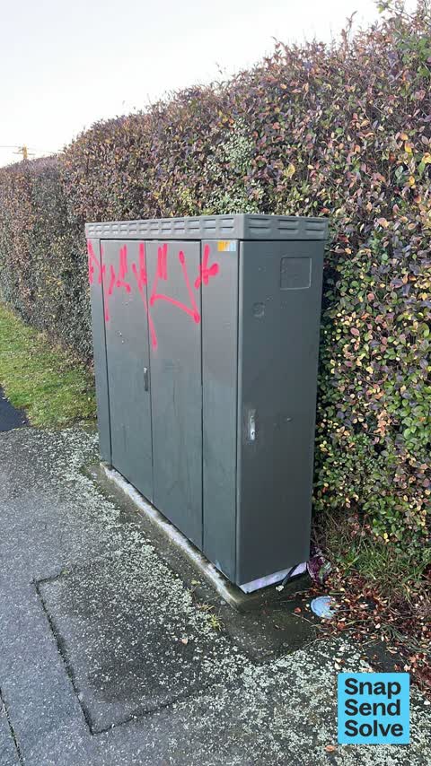
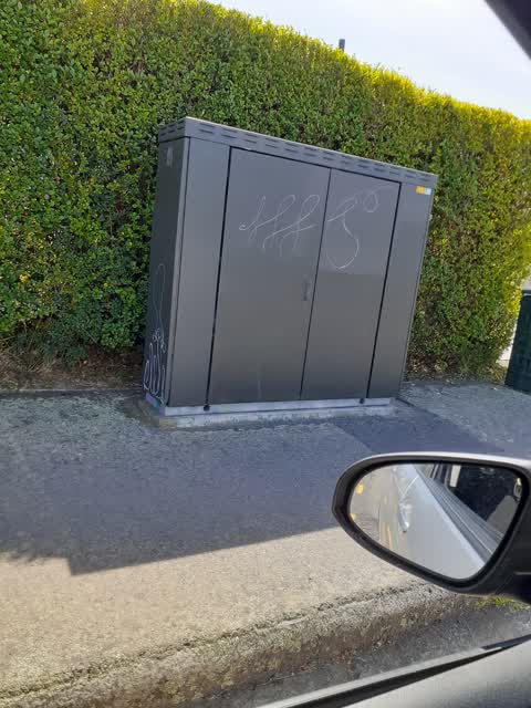
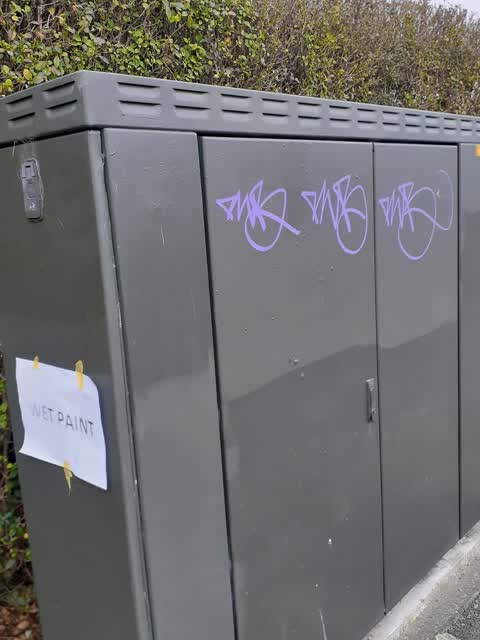
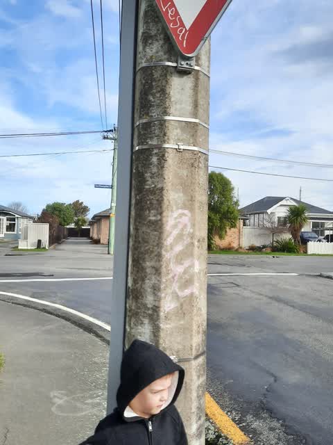
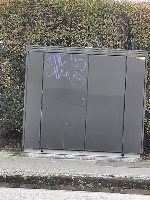
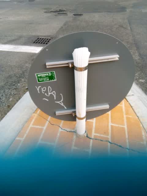
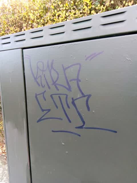
 Graffiti on a traffic light pole or cabinet, or wa —
 Graffiti requiring removal.
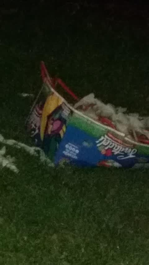
 Litter —
 litter
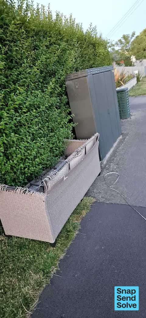
 Dumped Rubbish —
 dumped couch
- Graffiti —
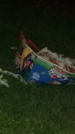 Rubbish/Recycling —
 .
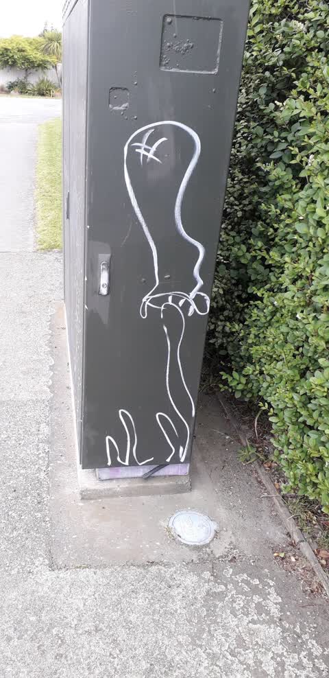
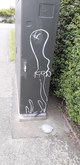 Graffiti —
  Graffiti —
 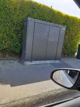 Graffiti —
 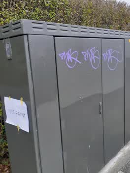 Graffiti —
 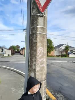 Graffiti —
 lamppost and giveaway sign corner Croydon and Southampton
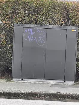 Graffiti —
 power box opposite 10 Croydon
Graffiti —
On traffic sign
Graffiti —
On vodafone C106A
Graffiti —
Serial tagger at work recently
Graffiti —
Box no. C106A
Graffiti —
On facility C106A
Roading/Streets —
Vandalised sign
Graffiti —
Vodafone C106A
Also reported on Croydon Street
- 12B Croydon Street — 9 reports
- 23 Croydon Street — 8 reports
- 34 Croydon Street — 7 reports
- 25 Croydon Street — 5 reports
- 19 Croydon Street — 5 reports
- 10 Croydon Street — 5 reports
- 40A Croydon Street — 4 reports
- 36 Croydon Street — 4 reports
The street’s crash record
NZTA’s record names Croydon Street in 2 crashes that hurt somebody since 2006 — 0 seriously hurt, nobody killed.
The green nearby
- Mabel Howard Reserve — 146 m to the edge
- St Martins Park — 443 m to the edge · Sports ground · 2 ha
- Palatine Native Reserve — 472 m to the edge
- Southey Reserve — 480 m to the edge
Parks within half a kilometre, measured to the boundary — the council’s open data.
On the doorstep
- Roger Street Fish Supply — 244 m away · Fast food
- Sydenham Souvlaki — 263 m away · Fast food
Businesses within four hundred metres, measured at the pin — OpenStreetMap and the council directories.
The tracks through here
- Walk and bike track through Sydenham — 188 m to the line · walk · bike
- Walk and bike track through Sydenham — 209 m to the line · walk · bike
- Walk and bike track through Sydenham — 224 m to the line · walk · bike
- Walk and bike track through Sydenham — 248 m to the line · walk · bike
- Walk and bike track through Sydenham — 298 m to the line · walk · bike
Tracks whose line passes within half a kilometre, measured to the line itself — the council’s open data.
The named ground
Named water within 500 m of this address, measured to the line or the edge — the open map’s record.
Renting nearby
new bonds in Sydenham ran about $518 a week — $32 below the city median of $550 — the suburb page keeps the rent record →.
What was here — MED Substation and Setting
202 m away · 19E Millar Street · located to ±6 m · the place’s own record →
On the register. Nothing researched here yet.
The civic layer
This ground votes in Heathcote ward — the Spreydon-Cashmere-Heathcote community board. Ward lines don’t always follow suburb lines; this one is measured at the pin, not the suburb’s centre.
What stood on this ground → · On the map → · From the air — the Crown’s aerials back to 1936; search the address on RetroLens →
Questions, answered briefly
18 council reports on record since October 2016 — most often graffiti (13), rubbish/recycling (1), roading/streets (1).
Sydenham, Christchurch — on Croydon Street.
The heritage register names a place at or beside it — MED Substation and Setting.
Mabel Howard Reserve — 146 m to its edge.