62 Orbell Street, Sydenham
25 reports on record since January 2018 · 17 with photographs. The street’s heaviest record is 45 Orbell Street — 29 reports on file. Indicative rating valuation and school zones, hazards, bin day and what stood here before.
What gets reported here
Photographed here 17 on record


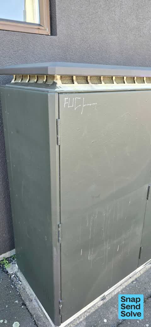


Reported here
 Hazard — vehicle —
 car parked on yellow lines blocking visibility of intersection
 Dumped Rubbish —
 Polystyrene dumped in council bins
 Water Leak —
 Fire hydrant leaking
 Graffiti on a traffic light pole or cabinet, or wa —
  Graffiti on a fence, building or structure —
  Graffiti on a fence, building or structure —
 We are a dance school with 200 children through our doors weekly and this is not appropriate for them to see.
 Water Leak —
 Water leaking from valve and spreading across footpath,possibly unsafe for civilians.
 Graffiti somewhere else —
  Graffiti somewhere else —
  Graffiti on a cabinet, pole or railway asset —
  Graffiti on a fence, building or structure —
 Black paint tag on low white concrete wall by 62 Orbell Street corner of Wordsworth Street.
 Graffiti —
 On corner
- Graffiti —
- Graffiti —
- Graffiti —
- Graffiti —
- Graffiti —
- Graffiti —
- Graffiti —
- Graffiti —
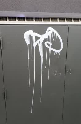 Graffiti —
 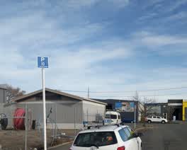 Roading/Streets —
 can these 10min parking restrictions be removed?
Graffiti —
Graffiti —
Graffiti —
Also reported on Orbell Street
- 45 Orbell Street — 29 reports
- 8 Orbell Street — 19 reports
- 98 Orbell Street — 9 reports
- 48 Orbell Street — 7 reports
- 32 Orbell Street — 7 reports
- 110 Orbell Street — 7 reports
- 72 Orbell Street — 6 reports
- 64 Orbell Street — 6 reports
The street’s crash record
NZTA’s record names Orbell Street in 13 crashes that hurt somebody since 2006 — 2 seriously hurt, nobody killed.
The green nearby
- Sydenham Park — 335 m to the edge · Sports ground · 5 ha
- Braddon Reserve — 400 m to the edge
- Buchan Playground — 412 m to the edge
- Antigua Reserve — 421 m to the edge
Parks within half a kilometre, measured to the boundary — the council’s open data.
On the doorstep
- Eats on Orbell — 10 m away · Cafés
- Weft's Factory Shop — 50 m away · Clothing
- Weft knitwear — 51 m away · Clothing
- Flamingo Scooters — 62 m away · Company
Businesses within four hundred metres, measured at the pin — OpenStreetMap and the council directories.
The bus nearby
- Antigua St near Fairfield Ave — 346 m away · route 120
- Colombo St near Lawson St — 349 m away · route 1, route 8, route 44
The closest Metro stops, within four hundred and fifty metres.
The tracks through here
- Walk and bike track through Sydenham — 351 m to the line · walk · bike
- Walk and bike track through Sydenham — 355 m to the line · walk · bike
Tracks whose line passes within half a kilometre, measured to the line itself — the council’s open data.
The named ground
Named water within 500 m of this address, measured to the line or the edge; Named places within 1.5 km of this address — the open map’s record.
Renting nearby
new bonds in Sydenham ran about $518 a week — $32 below the city median of $550 — the suburb page keeps the rent record →.
What was here — Former Dwellings and Setting, Blackheath Place
91 m away · 71 Durham Street South · located to ±30 m · the place’s own record →
On the register. Nothing researched here yet.
The civic layer
This ground votes in Heathcote ward — the Spreydon-Cashmere-Heathcote community board. Ward lines don’t always follow suburb lines; this one is measured at the pin, not the suburb’s centre.
What stood on this ground → · On the map → · From the air — the Crown’s aerials back to 1936; search the address on RetroLens →
Questions, answered briefly
25 council reports on record since January 2018 — most often graffiti (13), graffiti on a fence, building or structure (3), water leak (2).
Sydenham, Christchurch — on Orbell Street.
The heritage register names a place at or beside it — Former Dwellings and Setting, Blackheath Place.
Sydenham Park — 335 m to its edge, 5 ha.