393 Riccarton Road, Upper Riccarton
12 reports on record since June 2016 · 8 with photographs. The street’s heaviest record is 372 Riccarton Road — 21 reports on file. Indicative rating valuation and school zones, hazards, bin day and what stood here before.
What gets reported here
Photographed here 8 on record


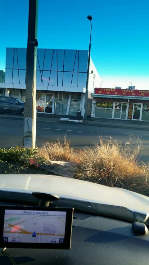
Reported here
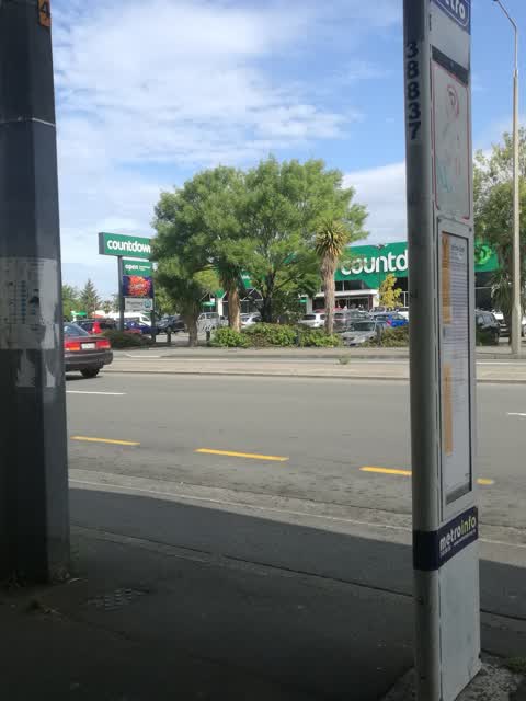
 Graffiti on a bus stop or public toilet —
Tags on the sign and seat at the bus stop. The sign is at the back before the bus stop starts
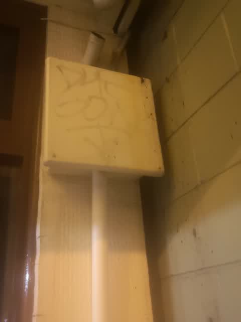
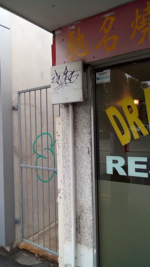
 Graffiti on a fence, building or structure —
We can remove this. Please refer to your preferred trades as. Roof Painting Services Ltd 0220271465
 Street Gutters / Storm Water —
Both sumps require urgent cleaning as causes flooding
- Poles and Signage - General —
- Poles and Signage - General —
- Damaged Street Sign —
- Road Signage —
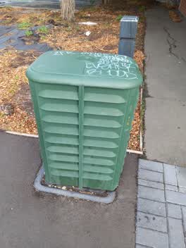 Graffiti —
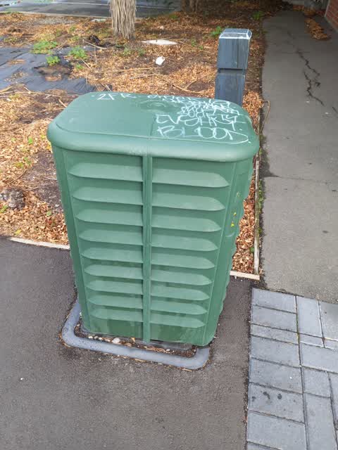
393 Riccarton Rd - Graffiti on utility box near the Toy Library
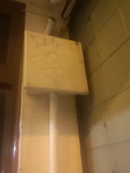 Graffiti —
Graffiti —
Roading/Streets —
Also reported on Riccarton Road
- 372 Riccarton Road — 21 reports
- 355C Riccarton Road — 18 reports
- 331A Riccarton Road — 16 reports
- 355 Riccarton Road — 14 reports
- 394 Riccarton Road — 13 reports
- 364 Riccarton Road — 13 reports
- 251 Riccarton Road — 13 reports
- 374 Riccarton Road — 12 reports
The street’s crash record
NZTA’s record names Riccarton Road in 178 crashes that hurt somebody since 2006 — 1 person killed, 23 seriously hurt.
The green nearby
- Hansons Reserve — 185 m to the edge
- Auburn Reserve — 271 m to the edge · 1 ha
Parks within half a kilometre, measured to the boundary — the council’s open data.
On the doorstep
- Sir John McKenzie Children's Library — 10 m away · Toy shops
- Jolin's Restaurant — 31 m away · Restaurants
- My Hanh Vietnamese Restaurant — 31 m away · Restaurants
- Spice N Life — 31 m away · Restaurants
Businesses within four hundred metres, measured at the pin — OpenStreetMap and the council directories.
The bus nearby
- Church Corner — 32 m away · route 5, route 86, route 100, route 130, route 140
- Church Corner — 55 m away · route 5, route 86, route 100, route 130, route 140
The closest Metro stops, within four hundred and fifty metres.
The tracks through here
- Walk and bike track through Upper Riccarton — 17 m to the line · walk · bike
- Walk and bike track through Upper Riccarton — 104 m to the line · walk · bike
- Walk and bike track through Upper Riccarton — 151 m to the line · walk · bike
- Walk and bike track through Upper Riccarton — 411 m to the line · walk · bike
- Walk and bike track through Upper Riccarton — 411 m to the line · walk · bike
Tracks whose line passes within half a kilometre, measured to the line itself — the council’s open data.
The remembered names nearby
- Upper Riccarton War Memorial plaque — 106 m away · 2025
- This Stone Was Laid by Lady Bowen 15th March 1919 Trustees — 112 m away ·
THIS STONE WAS LAID BY LADY BOWEN 15TH MARCH 1919 TRUSTEES J.E. HANSON, GEO. FORSYTH, T. C
· 2025
Inscribed plaques within two hundred and fifty metres — the register’s pins, not surveyed spots. The whole roll is at /plaques.
What was here — J.R. McKenzie Memorial Children's Library and Setting
11 m away · 393 Riccarton Road · located to ±10 m · the place’s own record →
On the register. Nothing researched here yet.
What was here — Commercial Building and Setting
155 m away · 355B Riccarton Road · located to ±6 m · the place’s own record →
On the register. Nothing researched here yet.
What was here — St Peter's Church & Setting
185 m away · 24 Main South Road · located to ±116 m · the place’s own record →
On the register. Nothing researched here yet.
What was here — Bush Inn Hotel and Setting
188 m away · 350 Riccarton Road · located to ±16 m · the place’s own record →
On the register. Nothing researched here yet.
What was here — St Peter's Church Graveyard and Setting
202 m away · 24 Main South Road · located to ±21 m · the place’s own record →
On the register. Nothing researched here yet.
The civic layer
This ground votes in Riccarton ward — the Halswell-Hornby-Riccarton community board. Ward lines don’t always follow suburb lines; this one is measured at the pin, not the suburb’s centre.
What stood on this ground → · On the map → · From the air — the Crown’s aerials back to 1936; search the address on RetroLens →
Questions, answered briefly
12 council reports on record since June 2016 — most often graffiti (4), poles and signage - general (2), street gutters / storm water (1).
Upper Riccarton, Christchurch — on Riccarton Road.
The heritage register names 5 places at or beside it — J.R. McKenzie Memorial Children's Library and Setting, Commercial Building and Setting.
Hansons Reserve — 185 m to its edge.