55 Auburn Avenue, Upper Riccarton
15 reports on record since January 2019 · 12 with photographs. The street’s heaviest record is 28 Auburn Avenue, 37 reports on file. Indicative rating valuation and school zones, hazards, bin day and what stood here before.
What gets reported here
Photographed here 12 on record


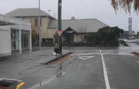
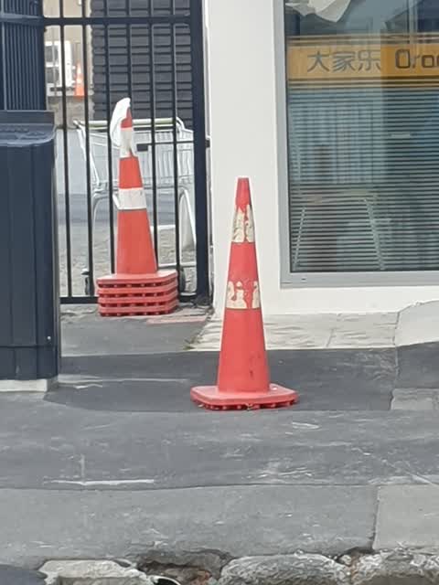
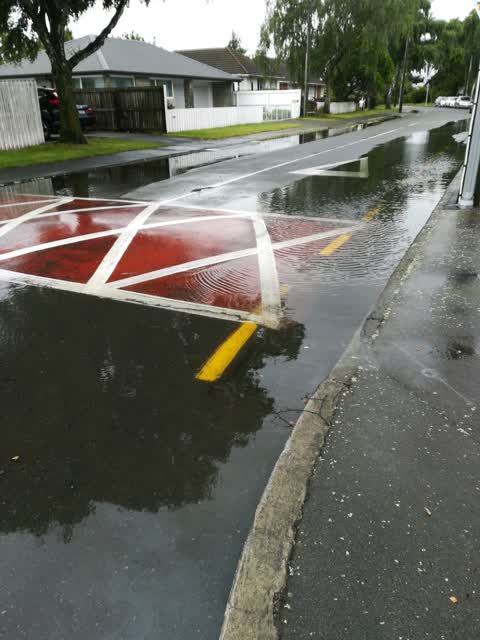
Reported here
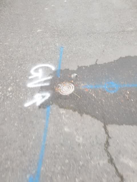
 Pavement - General,
 the cover is broken needed to be replaced.
 Graffiti on a fence, building or structure,
  Graffiti on a fence, building or structure,
  Graffiti somewhere else,
  Dumped Rubbish,
 Someone's ripping these out on riccarton rd opposite snap fitness
- Roads - General,
- Pavement - Damaged,
- Overgrown Vegetation,
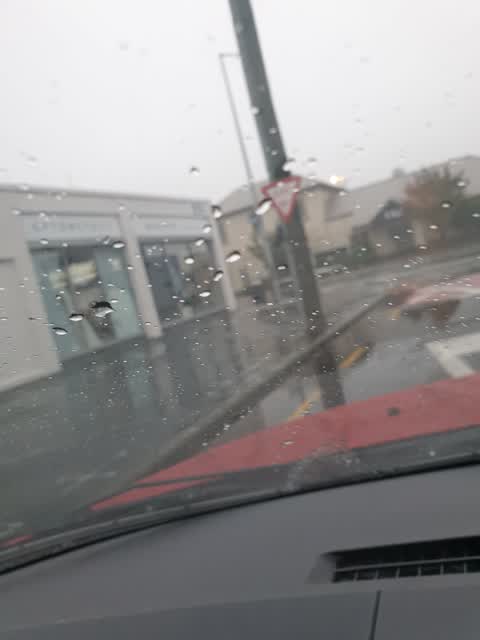
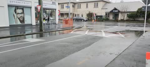
 Flooding,
 Leaves blocking drain in auburn ave
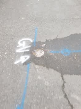 Water Leak,
 Auburn Avenue carpark
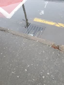 Wastewater/Stormwater,
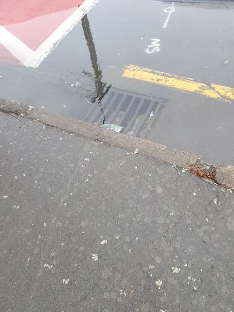
 Blocked drain, some flooding
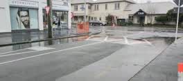 Flooding,
 Auburn Avenue drains are mostly damaged from earth quake's because the drain clearing truck doesn't fix this problem.
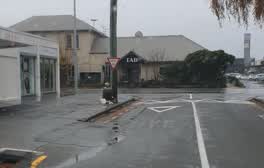 Rubbish/Recycling,
 over flowing bin. from the weekend.
Roading/Streets,
rosf cones
Flooding,
Also reported on Auburn Avenue
- 28 Auburn Avenue, 37 reports
- 24 Auburn Avenue, 32 reports
- 1 Auburn Avenue, 27 reports
- 34 Auburn Avenue, 13 reports
- 42 Auburn Avenue, 11 reports
- 31 Auburn Avenue, 11 reports
- 46 Auburn Avenue, 10 reports
- 40 Auburn Avenue, 9 reports
From the air, then
Sourced from Canterbury Maps and partners. LINZ, CC BY 3.0 NZ. Each frame is cut from Environment Canterbury’s historic imagery MapServer for that decade, only where the Footprints layer names a CC BY survey (NZAM-covered spots stay out). RetroLens holds more Crown aerials →
The street’s crash record
NZTA’s record names Auburn Avenue in 14 crashes that hurt somebody since 2006, 3 seriously hurt, nobody killed.
The green nearby
- Auburn Reserve, 60 m to the edge · 1 ha
- Hansons Reserve, 216 m to the edge
Parks within half a kilometre, measured to the boundary, the council’s open data.
On the doorstep
- Orange House Restaurant & Takeaways, 10 m away · Restaurants
- Orange House Restaurant and Takeaway, 11 m away · Restaurants
- Matthews, 15 m away · Optometrists
- Feet First Podiatry, 19 m away · Podiatrists
Businesses within four hundred metres, measured at the pin: OpenStreetMap and the council directories.
The bus nearby
- Riccarton Rd near Newnham Tce, 111 m away · route 5, route 86, route 100, route 130, the Orbiter (clockwise)
- Church Corner, 160 m away · route 5, route 86, route 100, route 130, route 140
The closest Metro stops, within four hundred and fifty metres.
The tracks through here
- Walk and bike track through Upper Riccarton, 26 m to the line · walk · bike
- Walk and bike track through Upper Riccarton, 69 m to the line · walk · bike
- Walk and bike track through Upper Riccarton, 114 m to the line · walk · bike
- Walk and bike track through Upper Riccarton, 417 m to the line · walk · bike
- Walk and bike track through Upper Riccarton, 419 m to the line · walk · bike
Tracks whose line passes within half a kilometre, measured to the line itself, the council’s open data.
The remembered names nearby
- Upper Riccarton War Memorial plaque, 120 m away · 2025
- This Stone Was Laid by Lady Bowen 15th March 1919 Trustees, 127 m away ·
THIS STONE WAS LAID BY LADY BOWEN 15TH MARCH 1919 TRUSTEES J.E. HANSON, GEO. FORSYTH, T. C
· 2025
Inscribed plaques within two hundred and fifty metres, the register’s pins, not surveyed spots. The whole roll is at /plaques.
What was here, Bush Inn Hotel and Setting
56 m away · 350 Riccarton Road · located to ±16 m · the place’s own record →
On the register. Nothing researched here yet.
What was here, Commercial Building and Setting
61 m away · 355B Riccarton Road · located to ±6 m · the place’s own record →
On the register. Nothing researched here yet.
What was here, J.R. McKenzie Memorial Children's Library and Setting
224 m away · 393 Riccarton Road · located to ±10 m · the place’s own record →
On the register. Nothing researched here yet.
The civic layer
This ground votes in Riccarton ward, the Halswell-Hornby-Riccarton community board. Ward lines don’t always follow suburb lines; this one is measured at the pin, not the suburb’s centre.
What stood on this ground → · On the map → · From the air, the Crown’s aerials back to 1936; search the address on RetroLens →
Questions, answered briefly
15 council reports on record since January 2019, most often flooding (3), graffiti on a fence, building or structure (2), water leak (1).
Upper Riccarton, Christchurch, on Auburn Avenue.
The heritage register names 3 places at or beside it, Bush Inn Hotel and Setting, Commercial Building and Setting.
Auburn Reserve, 60 m to its edge, 1 ha.