83 Peer Street, Upper Riccarton
14 reports on record since October 2017 · 10 with photographs. The street’s heaviest record is 56 Peer Street — 16 reports on file. Indicative rating valuation and school zones, hazards, bin day and what stood here before.
What gets reported here
Photographed here 10 on record




Reported here
 Fallen Tree —
 Fallen big branch of tree
 Dumped Rubbish —
  Vandalism - General —
 Straight out rubbish dumped and now graffitied
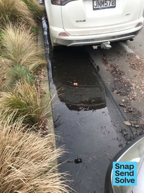
 Water Leak —
 Leak from berm?
 Park - General Request —
 Residents complaining about the state of peer reserve. They say it's just been let go for years now. It's covered in weeds down the bank. So
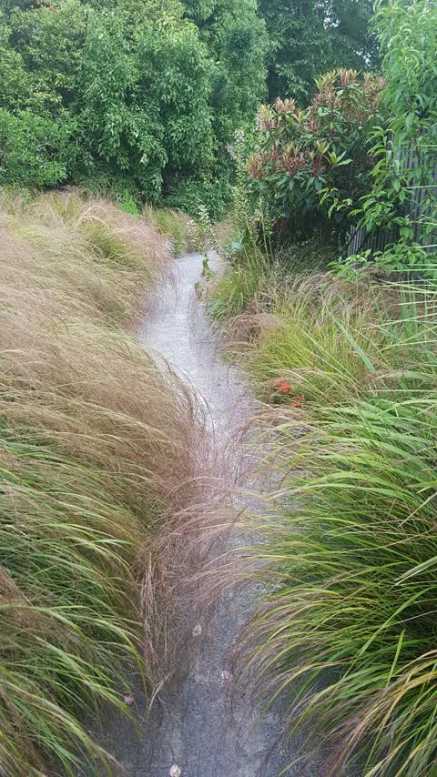
 Overgrown Vegetation —
 Path overgrown throughout Peer Reserve.
- Pavement - General —
- Overgrown Vegetation —
- Pavement - General —
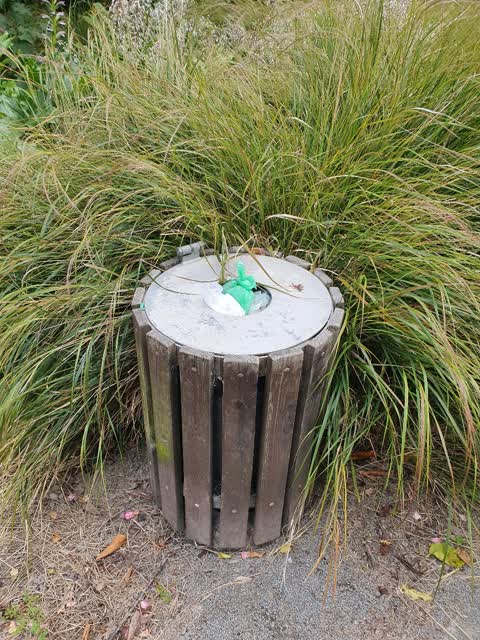
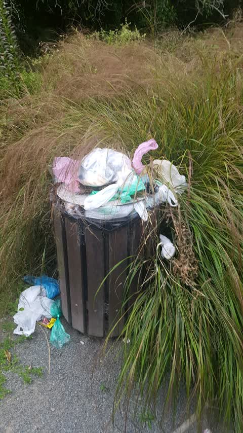
Rubbish/Recycling —
Bun needs emptying- been full for 10 days
Rubbish/Recycling —
Bin not been emptied for a couple of weeks
Parks —
Walkway between peer st and brodie street requires pruning
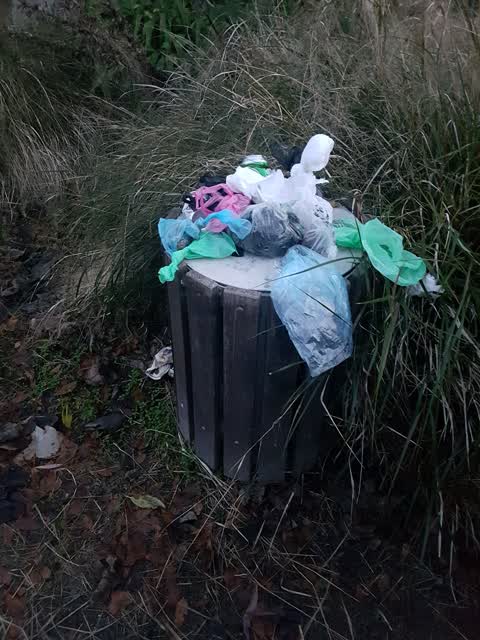
Rubbish/Recycling —
Bin on track between peer st and bridie street has been overflowing all xmas and new year.
- Roading/Streets —
Pavement damage severe, needs resurfacing. Pavement deteriorating with ponding. Drivers rarely stop. Please consider marking cycle lane stu
Also reported on Peer Street
- 56 Peer Street — 16 reports
- 47C/57C Peer Street — 11 reports
- 60 Peer Street — 9 reports
- 85 Peer Street — 6 reports
- 57 Peer Street — 6 reports
- 12 Peer Street — 6 reports
- 76B Peer Street — 5 reports
- 58 Peer Street — 5 reports
The street’s crash record
NZTA’s record names Peer Street in 25 crashes that hurt somebody since 2006 — 4 seriously hurt, nobody killed.
The green nearby
- Peer Reserve — you are in it
- Siska Reserve — 286 m to the edge
- Corfe Reserve — 291 m to the edge · 1 ha
Parks within half a kilometre, measured to the boundary — the council’s open data.
On the doorstep
- obsess — 186 m away · Cafés
- Pizza Pi & Cafe — 188 m away · Restaurants
- Shirleys Kitchen — 196 m away · Restaurants
- Hinau Laundry — 208 m away · Laundromats
Businesses within four hundred metres, measured at the pin — OpenStreetMap and the council directories.
The bus nearby
- Waimairi Rd near Athol Tce — 189 m away · the Orbiter (anticlockwise)
- Waimairi Rd near Brulay Cts — 330 m away · the Orbiter (clockwise)
The closest Metro stops, within four hundred and fifty metres.
The tracks through here
- Walk and bike track through Upper Riccarton — 54 m to the line · walk · bike
- Walk and bike track through Upper Riccarton — 80 m to the line · walk · bike
- Walk and bike track through Upper Riccarton — 121 m to the line · walk · bike
- Walk and bike track through Upper Riccarton — 165 m to the line · walk · bike
- Walk and bike track through Upper Riccarton — 345 m to the line · walk · bike
Tracks whose line passes within half a kilometre, measured to the line itself — the council’s open data.
The named ground
Named water within 500 m of this address, measured to the line or the edge; the council’s own structure register — bridges, boardwalks and steps standing nearby — the open map’s record.
What was here — College House Kitchen, Dining Hall, Office, Common Room, Study Centre, Foyer, Accommodation Block and Setting
168 m away · 100 Waimairi Road · located to ±15 m · the place’s own record →
On the register. Nothing researched here yet.
What was here — College House Principal's Lodge and Setting
184 m away · located to ±11 m · the place’s own record →
On the register. Nothing researched here yet.
What was here — College House Chapel and Setting
198 m away · 100C Waimairi Road · located to ±14 m · the place’s own record →
On the register. Nothing researched here yet.
What was here — College House Accommodation Block (South) Stanford, Carrington, Milford, Parr, Warren and Setting
209 m away · 100A Waimairi Road · located to ±47 m · the place’s own record →
On the register. Nothing researched here yet.
What was here — College House Courtyard and setting
212 m away · 100A Waimairi Road · located to ±51 m · the place’s own record →
On the register. Nothing researched here yet.
The civic layer
This ground votes in Riccarton ward — the Halswell-Hornby-Riccarton community board. Ward lines don’t always follow suburb lines; this one is measured at the pin, not the suburb’s centre.
What stood on this ground → · On the map → · From the air — the Crown’s aerials back to 1936; search the address on RetroLens →
Questions, answered briefly
14 council reports on record since October 2017 — most often rubbish/recycling (3), pavement - general (2), overgrown vegetation (2).
Upper Riccarton, Christchurch — on Peer Street.
The heritage register names 5 places at or beside it — College House Kitchen, Dining Hall, Office, Common Room, Study Centre, Foyer, Accommodation Block and Setting, College House Principal's Lodge and Setting.
Peer Reserve — the address is inside it.