The hillside climb
Hackthorne Road is the hillside’s register in one climb, the named houses along the row, the Sign of the Takahe at the top, and the house the register names for Ngaio Marsh just below. Steep, and the pins are the straight line, the road climbs more.
The walk, as a line
Straight between pins, the streets run longer. Every numbered pin opens that place’s own record.
The stops, in order
- Dwelling and Setting, Hursthaven, 16 Hackthorne Road · 20 unread leads
Hursthaven, the first of Hackthorne Road’s named houses.
- Dwelling and Setting, Blakeney, 30 Hackthorne Road · 20 unread leads
Blakeney, the named house next along the row.
- Former Dwelling and Setting, Ngaio Marsh House, 37 Valley Road · Heritage NZ list 3673 · 20 unread leads
The house the register names for Ngaio Marsh, down Valley Road, its garden is a separate entry.
- Dwelling and Setting, 141 Hackthorne Road · 20 unread leads
141 Hackthorne Road, the row’s last dwelling before the top.
- Sign of the Takahe and Setting, 200 Hackthorne Road · Heritage NZ list 275 · 42 unread leads · a Wikipedia entry
The Sign of the Takahe, the Summit Road landmark; the register lists the building and its grounds as one.
- St Augustine's Anglican Church and Setting, 5 Cracroft Terrace · Heritage NZ list 1924 · 35 unread leads
St Augustine’s on Cracroft Terrace, the church on both the district plan’s roll and the Heritage NZ list.
- Dwelling and Setting, 54 Dyers Pass Road · 20 unread leads
54 Dyers Pass Road, a dwelling on the roll.
- Dwelling and Setting, Whareora, 63 Dyers Pass Road · Heritage NZ list 3743 · 20 unread leads
Whareora, the named house on Dyers Pass Road, on the Heritage NZ list.
- Cashmere Hills Presbyterian Church and Setting, 2 MacMillan Avenue · 38 unread leads · a Wikipedia entry
Cashmere Hills Presbyterian on MacMillan Avenue, the last entry before the flat.
What the register built on the way
Council structures within about 30 m of the stop-to-stop line, the bridges, steps and shelters the route passes. Site names are the register’s own.
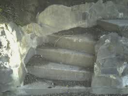 A set of steps at Cracroft Reserve, 5 steps · built 2013 1 m off the line
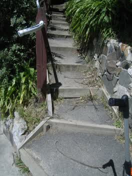 A set of steps at Cracroft Reserve, 15 steps · built 2008 6 m off the line
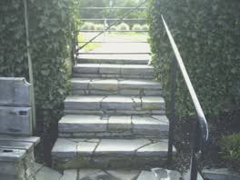 A set of steps at Cracroft Reserve, 6 steps · built 2013 6 m off the line
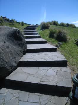 A set of steps at Cracroft Reserve, 10 steps · built 2008 17 m off the line
The reports along it
1,645 council reports pinned within 150 m of the line, most often Water & drains and Roads & footpaths, 1,296 with a photograph. A pin is where a reporter stood, not a claim about the place itself.
 Damaged Road
 Trees - General
 Water Leak
 Accessibility
 Damaged Road
 Hazard, vehicle
 Park - General Request
 Water Leak
 Overgrown Vegetation
 Damaged Road
 Overgrown Vegetation
 Pavement - General
Questions, answered briefly
Hackthorne Road is the hillside’s register in one climb, the named houses along the row, the Sign of the Takahe at the top, and the house the register names for Ngaio Marsh just below. 9 listed places, 3.8 km as the line runs, Cashmere.
Dwelling and Setting, Hursthaven (16 Hackthorne Road) to Cashmere Hills Presbyterian Church and Setting (2 MacMillan Avenue), the order is a suggestion, not the only way round.
Every one, each pin is a row in the district plan’s heritage schedule, and each opens the place’s own sourced record here.
3.8 km measured straight between the pins, the streets run longer, and the stops deserve a pause each.
The record behind this
Every stop is a row in the district plan’s heritage schedule, held here as the register’s own layer. The order and the notes are ours, the listings are the council’s and Heritage New Zealand’s. "Setting" is the register’s word for the ground a listing covers.
The rest of the register here: Cashmere
The same ground today: Cashmere
This page as markdown: /walks/hackthorne-road.md · the route as data: /walks/hackthorne-road.geojson · on the live map: the walks layer.