The sea front
Sumner keeps five entries on the register, the rock, the sea walls, the clock tower and two houses, and this walk covers all of them. Flat along the front, then a little uphill.
The walk, as a line
Straight between pins, the streets run longer. Every numbered pin opens that place’s own record.
The stops, in order
- Sumner Clock Tower and Setting, 147R Esplanade · 41 unread leads
The clock tower on the Esplanade, the village’s own listing.
- The Esplanade War Memorials, Sea Walls and Setting · 15 unread leads
The war memorials and sea walls, one listing for the whole front edge.
- Tuawera/Cave Rock and Pilot/Signal Station, and Setting
Tuawera/Cave Rock, the rock on the beach, listed with its pilot and signal station.
- Dwelling and Setting, 62 Nayland Street · 20 unread leads
62 Nayland Street, a dwelling on the roll. A private house, so the record is the visit.
- Dwelling and Setting, 58 Colenso Street · Heritage NZ list 7406 · 14 unread leads
58 Colenso Street, the other Sumner house, up from the beach and on the Heritage NZ list.
What the register built on the way
Council structures within about 30 m of the stop-to-stop line, the bridges, steps and shelters the route passes. Site names are the register’s own.
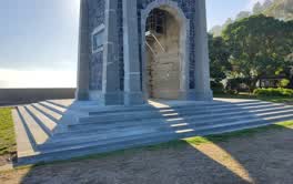 A set of steps at Scarborough Park, 6 steps · built 2013
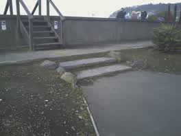 A set of steps at Scarborough Beach Developed, 2 steps · built 2013 5 m off the line
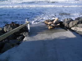 A ramp at Marriner St And Flowers Track, 10 m long · built 2000 9 m off the line
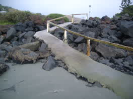 A ramp at Marriner St And Flowers Track, 18 m long · built 2000 10 m off the line
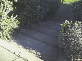 A set of steps at Scarborough Beach Developed, 5 steps · built 2013 12 m off the line
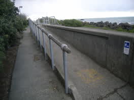 A ramp at Scarborough Beach, 13 m long · built 1998 14 m off the line
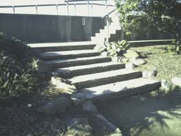 A set of steps at Scarborough Beach Developed, 5 steps · built 2013 14 m off the line
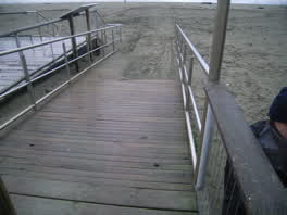 A ramp at Sumner Beach, 9 m long · built 2002 15 m off the line
The reports along it
2,440 council reports pinned within 150 m of the line, most often Trees & parks and Water & drains, 1,850 with a photograph. A pin is where a reporter stood, not a claim about the place itself.
 Playground Equipment
 Hazard, vehicle
 Park - General Request
 Overgrown Vegetation
 Rubbish and Bins - General
 Graffiti on a playground or in a park
 Animal - Deceased
 General Request
 Graffiti on a playground or in a park
 Rubbish and Bins - General
 Rubbish and Bins - General
Questions, answered briefly
Sumner keeps five entries on the register, the rock, the sea walls, the clock tower and two houses, and this walk covers all of them. 5 listed places, 2.6 km as the line runs, Sumner.
Sumner Clock Tower and Setting (147R Esplanade) to Dwelling and Setting (58 Colenso Street), the order is a suggestion, not the only way round.
Every one, each pin is a row in the district plan’s heritage schedule, and each opens the place’s own sourced record here.
2.6 km measured straight between the pins, the streets run longer, and the stops deserve a pause each.
The record behind this
Every stop is a row in the district plan’s heritage schedule, held here as the register’s own layer. The order and the notes are ours, the listings are the council’s and Heritage New Zealand’s. "Setting" is the register’s word for the ground a listing covers.
The rest of the register here: Sumner
The same ground today: Sumner
This page as markdown: /walks/sumner-front.md · the route as data: /walks/sumner-front.geojson · on the live map: the walks layer.