26 Lismore Street, Waltham
15 reports on record since February 2018 · 11 with photographs. The street’s heaviest record is 2A Lismore Street — 26 reports on file. Indicative rating valuation and school zones, hazards, bin day and what stood here before.
What gets reported here
- Water Leak — 5
- Graffiti — 4
- Dumped Rubbish — 2
- Rubbish/Recycling — 1
- Hazard — vehicle — 1
- Graffiti somewhere else — 1
Photographed here 11 on record




Reported here
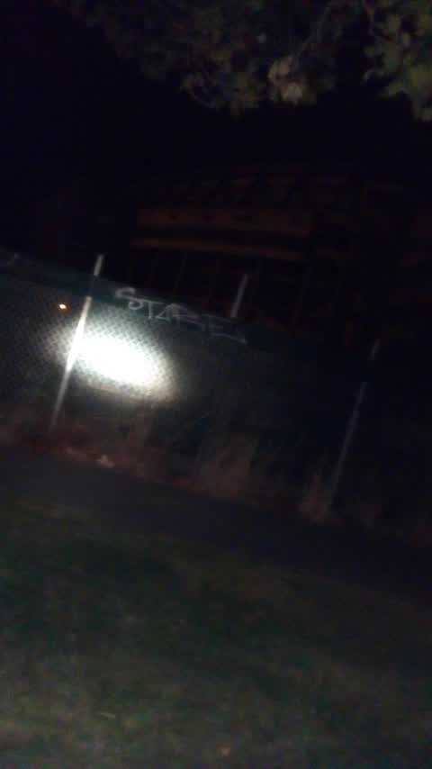
 Graffiti on a traffic light pole or cabinet, or wa —
 Silver paint tags on top and front of Backflow Prevention Assembly asset by 26 Lismore Street.
 Hazard — vehicle —
 Car mounted curb and parked on footpath
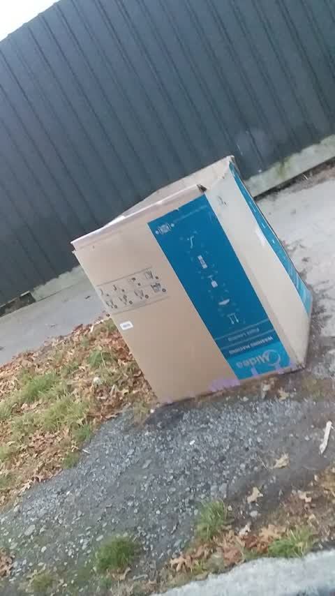
 Dumped Rubbish —
 Plastic bags
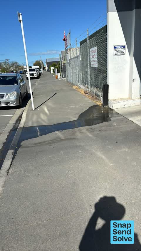
 Water Leak —
 Water leaking over the footpath by 26 Lismore Street. Seems to be leaking from underneath the Orion asset?
 Graffiti somewhere else —
  Water Leak —
 Looks like broken pipe under footpath
 Water Leak —
 Water leaking in a wide stream across path. 26 Lismore St
 Graffiti —
 Orange paint tag on CCC Backflow Prevention Assembly asset by 26 Lismore Street.
 Water Leak —
 Water flowing steadily over the footpath near 24 Lismore Street. A staff member from that address told me this was reported to CCC last week
- Graffiti —
- Dumped Rubbish —
- Water Leak —
- Graffiti —
 Rubbish/Recycling —
 Graffiti —
Also reported on Lismore Street
- 2A Lismore Street — 26 reports
- 19 Lismore Street — 22 reports
- 2 Lismore Street — 20 reports
- 5 Lismore Street — 18 reports
- 36 Lismore Street — 18 reports
- 56 Lismore Street — 11 reports
- 48 Lismore Street — 11 reports
- 17E Lismore Street — 10 reports
The street’s crash record
NZTA’s record names Lismore Street in 7 crashes that hurt somebody since 2006 — 4 seriously hurt, nobody killed.
The green nearby
- Charleston Reserve — 469 m to the edge
- Thackeray Reserve — 490 m to the edge
Parks within half a kilometre, measured to the boundary — the council’s open data.
On the doorstep
- Dog Park Art Project Space — 228 m away · Galleries
- Hang Up Entertainment — 250 m away · Rental
- Smoke 'n' Barrel — 253 m away · Fast food
- XCHC — 259 m away · Cafés
Businesses within four hundred metres, measured at the pin — OpenStreetMap and the council directories.
The tracks through here
- Walk and bike track through Waltham — 144 m to the line · walk · bike
- Walk and bike track through Waltham — 147 m to the line · walk · bike
- Walk and bike track through Waltham — 225 m to the line · walk · bike
- Walk and bike track through Waltham — 267 m to the line · walk · bike
- Walk and bike track through Waltham — 373 m to the line · walk · bike
Tracks whose line passes within half a kilometre, measured to the line itself — the council’s open data.
Renting nearby
new bonds in Waltham ran about $463 a week — $87 below the city median of $550 — the suburb page keeps the rent record →.
The civic layer
This ground votes in Central ward — the Papanui-Innes-Central community board. Ward lines don’t always follow suburb lines; this one is measured at the pin, not the suburb’s centre.
What stood on this ground → · On the map → · From the air — the Crown’s aerials back to 1936; search the address on RetroLens →
Questions, answered briefly
15 council reports on record since February 2018 — most often water leak (5), graffiti (4), dumped rubbish (2).
Waltham, Christchurch — on Lismore Street.
Nothing on the heritage register at this exact spot — the record around this ground →
Charleston Reserve — 469 m to its edge.