7D Penruddock Rise, Westmorland
15 reports on record since October 2021 · 8 with photographs. The most-reported address on Penruddock Rise. Indicative rating valuation and school zones, hazards, bin day and what stood here before.
What gets reported here
- Parks — 3
- Overgrown Vegetation — 2
- General Request — 2
- Fallen Tree — 2
- Accessibility — 2
- Trees - General — 1
Photographed here 8 on record



Reported here
 Fallen Tree —
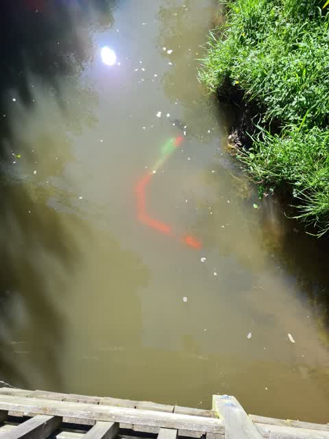
 Fallen tree over Cashmere Stream. Contractor came weeks ago and just created pile of tree cuttings on the bank beside. Problem remains.
 Fallen Tree —
 Tree fallen over into Cashmere Stream at Frances Reserve
 Overgrown Vegetation —
 I see foliage is pretty overgrown here making a path quite narrow. Could it please be cut back?
 Overgrown Vegetation —
 Well used path is getting very over grown with plants
 Animal - General —
 This Muscovy Duck? has been here in this same spot for at least 4 days. His pals have abandoned him/her and it doesn’t appear to want to go
 Trees - General —
 These 3 trees near the cashmere stream bridge at Penruddock rise are dead (+ another one out of view) and dropping pieces on the makeshift
- Facility - General Request —
- Accessibility —
- Park - General Request —
- General Request —
- Accessibility —
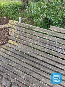 Parks —
 Broken seat slat
- Parks —
Overgrowth
- Parks —
Overgrowth
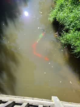 General Request —
 Sighted from walking bridge this morning on track.
Also reported on Penruddock Rise
- 2 Penruddock Rise — 12 reports
- 72 Penruddock Rise — 10 reports
- 60 Penruddock Rise — 10 reports
- 59B Penruddock Rise — 10 reports
- 57E Penruddock Rise — 7 reports
- 71 Penruddock Rise — 6 reports
- 61 Penruddock Rise — 6 reports
- 33 Penruddock Rise — 6 reports
The street’s crash record
NZTA’s record names Penruddock Rise in 6 crashes that hurt somebody since 2006 — 4 seriously hurt, nobody killed.
The green nearby
- Francis Reserve — you are in it · 1 ha
- Willowdell Reserve — 130 m to the edge
- Brookford Reserve — 150 m to the edge
- Westmorland East Valley Reserve — 399 m to the edge · 12 ha
- Sedgewick Reserve — 431 m to the edge · 2 ha
Parks within half a kilometre, measured to the boundary — the council’s open data.
On the doorstep
- Christchurch Motorhome Site — 340 m away · Hostels
Businesses within four hundred metres, measured at the pin — OpenStreetMap and the council directories.
The bus nearby
- Penruddock Rse near Hamish Pl — 50 m away · route 44
- Penruddock Rse near Croftfield Pl — 92 m away · route 44
The closest Metro stops, within four hundred and fifty metres.
The tracks through here
- Walk and bike track through Westmorland — 122 m to the line · walk · bike
- Walk and bike track through Westmorland — 124 m to the line · walk · bike
Tracks whose line passes within half a kilometre, measured to the line itself — the council’s open data.
The named ground
Named water within 500 m of this address, measured to the line or the edge; the council’s own structure register — bridges, boardwalks and steps standing nearby — the open map’s record.
Renting nearby
new bonds in Westmorland ran about $700 a week — $150 above the city median of $550 — the suburb page keeps the rent record →.
The civic layer
This ground votes in Cashmere ward — the Spreydon-Cashmere-Heathcote community board. Ward lines don’t always follow suburb lines; this one is measured at the pin, not the suburb’s centre.
What stood on this ground → · On the map → · From the air — the Crown’s aerials back to 1936; search the address on RetroLens →
Questions, answered briefly
15 council reports on record since October 2021 — most often parks (3), overgrown vegetation (2), general request (2).
Westmorland, Christchurch — on Penruddock Rise.
Nothing on the heritage register at this exact spot — the record around this ground →
Francis Reserve — the address is inside it, 1 ha.