127 Awatea Road, Wigram
15 reports on record since August 2020 · 10 with photographs. The most-reported address on Awatea Road. Indicative rating valuation and school zones, hazards, bin day and what stood here before.
What gets reported here
- Graffiti — 3
- Roading/Streets — 2
- Pothole — 2
- Parks — 2
- Bus Shelter Issue — 2
- Roads - General — 1
Photographed here 10 on record


Reported here
 Pothole —
 Pothole near driveway, opposite intersection.
 Pothole —
 Pothole from the bus / bus stop
 Dumped Rubbish —
 Glass everywhere on shared path
 Pavement - General —
 Smashed glass all over footpath
 Bus Shelter Issue —
 Time table is fallen of the window, doible side tape not sticky any more.
 Roads - General —
 Grass been destroyed since months. Lots of stones on top and no grass showing.
- Graffiti —
- Graffiti —
- Graffiti —
- Park - General Request —
- Bus Shelter Issue —
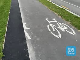 Roading/Streets —
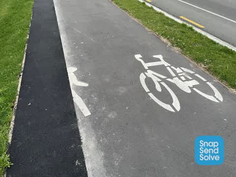
 The “guy” has been cut in half when remediation works have been done to the footpath and should be repainted.
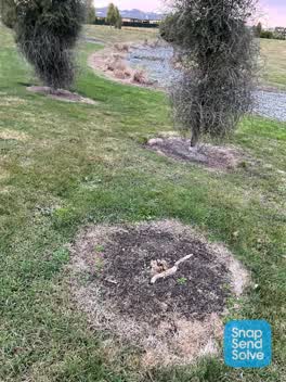 Parks —
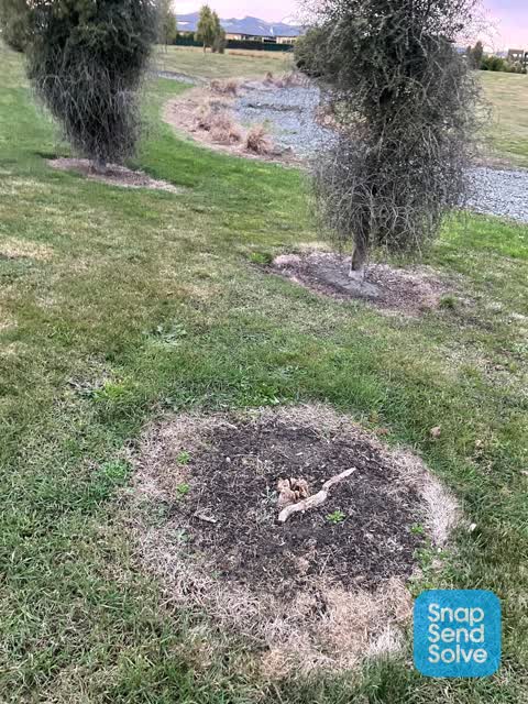
 Tree has been run over by mower and needs to be reinstated.
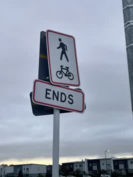 Roading/Streets —
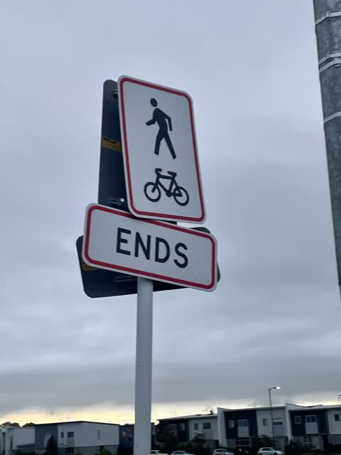
 Sign keeps getting twisted and bent by someone
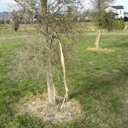 Parks —
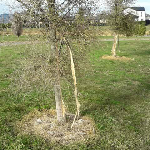
 multiple tree damage carrs rd north along awatea rd
Also reported on Awatea Road
- 116 Awatea Road — 15 reports
- 114 Awatea Road — 12 reports
- 111 Awatea Road — 12 reports
- 83 Awatea Road — 11 reports
- 135 Awatea Road — 10 reports
- 99 Awatea Road — 7 reports
- 111A Awatea Road — 6 reports
- 65 Awatea Road — 5 reports
The street’s crash record
NZTA’s record names Awatea Road in 11 crashes that hurt somebody since 2006 — 1 person killed, 3 seriously hurt.
The green nearby
- Carrs North Basin Drainage Reserve — you are in it · 4 ha
- Kahurangi 3 Drainage Reserve — 359 m to the edge · 5 ha
- Carrs South Basin Drainage Reserve — 450 m to the edge · 3 ha
Parks within half a kilometre, measured to the boundary — the council’s open data.
On the doorstep
- Gull Awatea — 176 m away · Petrol stations
Businesses within four hundred metres, measured at the pin — OpenStreetMap and the council directories.
The bus nearby
- Awatea Rd near Carrs Rd — 28 m away · route 100, route 125
- Awatea Rd near Carrs Rd — 32 m away · route 100, route 125
The closest Metro stops, within four hundred and fifty metres.
The tracks through here
- Walk and bike track through Wigram — 185 m to the line · walk · bike
Tracks whose line passes within half a kilometre, measured to the line itself — the council’s open data.
The named ground
Named water within 500 m of this address, measured to the line or the edge; Named places within 1.5 km of this address; the council’s own structure register — bridges, boardwalks and steps standing nearby — the open map’s record.
Renting nearby
new bonds in Wigram ran about $697 a week — $147 above the city median of $550 — the suburb page keeps the rent record →.
The civic layer
This ground votes in Hornby ward — the Halswell-Hornby-Riccarton community board. Ward lines don’t always follow suburb lines; this one is measured at the pin, not the suburb’s centre.
What stood on this ground → · On the map → · From the air — the Crown’s aerials back to 1936; search the address on RetroLens →
Questions, answered briefly
15 council reports on record since August 2020 — most often graffiti (3), roading/streets (2), pothole (2).
Wigram, Christchurch — on Awatea Road.
Nothing on the heritage register at this exact spot — the record around this ground →
Carrs North Basin Drainage Reserve — the address is inside it, 4 ha.