16 Four Peaks Drive, Wigram
14 reports on record since February 2020 · 6 with photographs. The most-reported address on Four Peaks Drive. Indicative rating valuation and school zones, hazards, bin day and what stood here before.
What gets reported here
Photographed here 6 on record



Reported here
 Flooding —
 drain is
 Street Gutters / Storm Water —
 This drain is blocked when it rains it overflows and runs down to the next one. I reported the cover had lifted after the bad rain we got la
 Street Gutters / Storm Water —
 The grate has come out of the gutter
- Facility - General Request —
- Poles and Signage - General —
- Roads - General —
- Overgrown Vegetation —
- Overgrown Vegetation —
- Pavement - Damaged —
- Pavement - Damaged —
- Overgrown Vegetation —
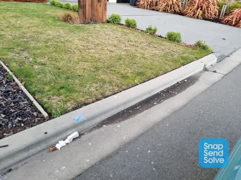
 Litter —
 There is polystyrene blowing around on wigram rd and Four Peaks Drive there has been a lot of southern demolition trucks taking demolition r
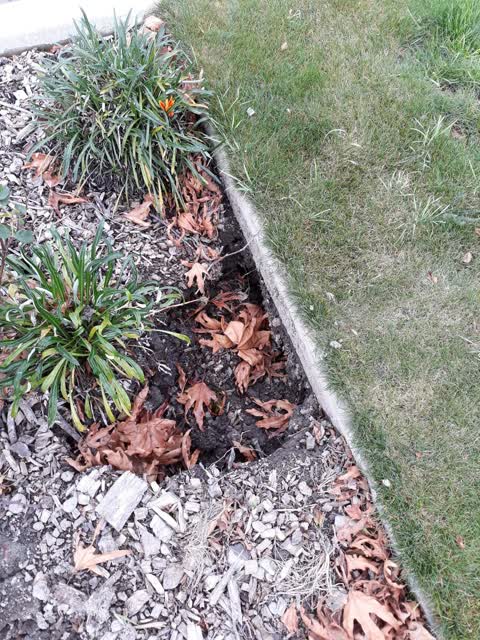
 Wastewater/Stormwater —
 this happened during the big rain fall we had last week
Roading/Streets —
abandoned car this car has been parked on the street for over three months now unregistered is it stolen or abandoned
Also reported on Four Peaks Drive
- 36 Four Peaks Drive — 13 reports
- 4 Four Peaks Drive — 7 reports
- 20 Four Peaks Drive — 5 reports
- 34 Four Peaks Drive — 4 reports
- 14A Four Peaks Drive — 3 reports
- 33 Four Peaks Drive — 2 reports
- 22 Four Peaks Drive — 2 reports
- 2 Four Peaks Drive — 2 reports
The green nearby
- Wigram Road Landscape Reserve — 277 m to the edge
- Carrs North Basin Drainage Reserve — 296 m to the edge · 4 ha
- Broken Run Reserve — 366 m to the edge · 3 ha
- Kahurangi 3 Drainage Reserve — 403 m to the edge · 5 ha
- Stallion Reserve — 437 m to the edge
Parks within half a kilometre, measured to the boundary — the council’s open data.
The bus nearby
- Awatea Rd near Carrs Rd — 405 m away · route 100, route 125
- Awatea Rd near Carrs Rd — 422 m away · route 100, route 125
The closest Metro stops, within four hundred and fifty metres.
The tracks through here
- Walk and bike track through Wigram — 345 m to the line · walk · bike
Tracks whose line passes within half a kilometre, measured to the line itself — the council’s open data.
The named ground
Named water within 500 m of this address, measured to the line or the edge; Named places within 1.5 km of this address — the open map’s record.
Renting nearby
new bonds in Wigram ran about $697 a week — $147 above the city median of $550 — the suburb page keeps the rent record →.
The civic layer
This ground votes in Halswell ward — the Halswell-Hornby-Riccarton community board. Ward lines don’t always follow suburb lines; this one is measured at the pin, not the suburb’s centre.
What stood on this ground → · On the map → · From the air — the Crown’s aerials back to 1936; search the address on RetroLens →
Questions, answered briefly
14 council reports on record since February 2020 — most often overgrown vegetation (3), street gutters / storm water (2), pavement - damaged (2).
Wigram, Christchurch — on Four Peaks Drive.
Nothing on the heritage register at this exact spot — the record around this ground →
Wigram Road Landscape Reserve — 277 m to its edge.