19 Zinnia Way, Wigram
14 reports on record since January 2021 · 12 with photographs. The most-reported address on Zinnia Way. Indicative rating valuation and school zones, hazards, bin day and what stood here before.
What gets reported here
- Parks — 3
- Pavement - Damaged — 2
- Park - General Request — 2
- Graffiti — 2
- Roads - General — 1
- Playground Equipment — 1
Photographed here 12 on record


Reported here
 Dumped Rubbish —
 Broken bottle beside the bench next to the children's play area. I have tried to clean it up but there is still ground glass on the concrete
 Roads - General —
 At this road junction, the fences either side of the joining lane are not set back or angled to allow proper driver visibility when approach
 Park - General Request —
 Bitumen has been broken up and spread onto park path
 Pavement - General —
 Grey pole in accessible path, blends in with background, please apply contrasting strips or remove as used by pedestrian with low vision
 Pavement - Damaged —
 Large chunk out of the corner of park pavement has disappeared.
 Pavement - Damaged —
 Small hole in footpath about 30 cm in diameter.
 Playground Equipment —
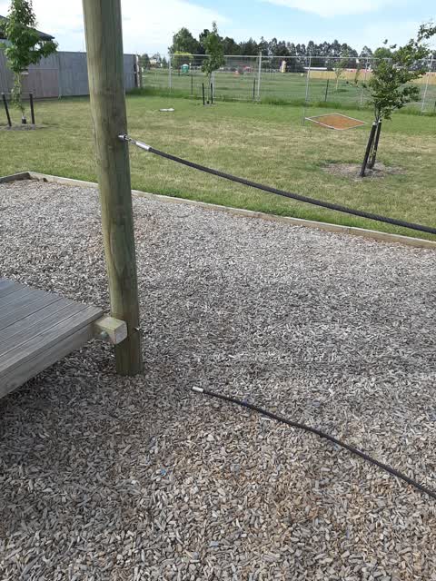
 One of the ropes on the playground is broken
- Overgrown Vegetation —
- Park - General Request —
 Parks —
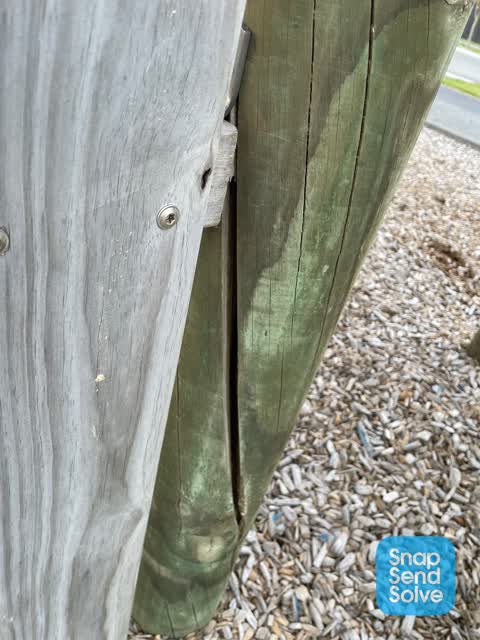
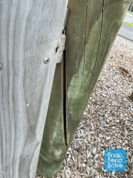
 Much of the structural timber on the playground is cracking already.
 Graffiti —
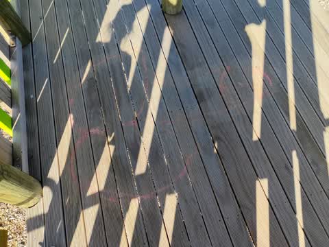
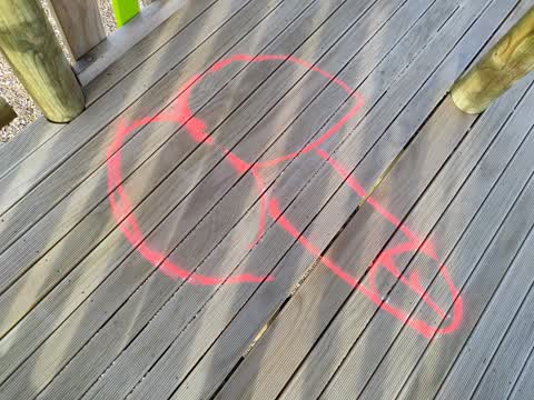
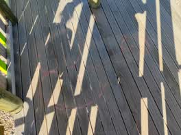
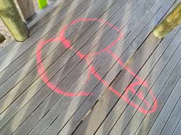
 Penis graffiti still obvious. (in the fort)
 Graffiti —
 In the fort.
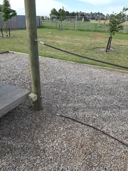 Parks —
 Broken rope at the children's playground on Zinnia Way
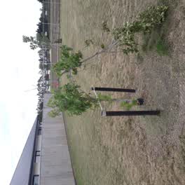 Parks —
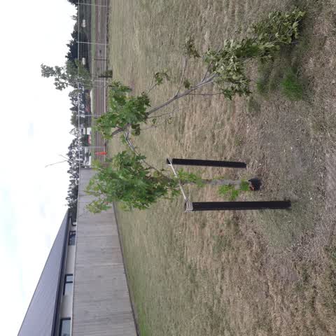
 zinnia playground damaged trees
Also reported on Zinnia Way
- 4 Zinnia Way — 3 reports
- 6 Zinnia Way — 2 reports
- 5 Zinnia Way — 2 reports
- 21 Zinnia Way — 2 reports
- 19R Zinnia Way — 2 reports
- 17 Zinnia Way — 2 reports
- 11 Zinnia Way — 2 reports
- 9 Zinnia Way — 1 report
The street’s crash record
NZTA’s record names Zinnia Way in 1 crash that hurt somebody since 2006 — 0 seriously hurt, nobody killed.
The green nearby
- Awatea South Basin 1 Drainage Reserve — 178 m to the edge · 4 ha
- Awatea South Basin 2 Drainage Reserve — 302 m to the edge
- Kahurangi 3 Drainage Reserve — 348 m to the edge · 5 ha
- Kahurangi 2 Drainage Reserve — 350 m to the edge · 5 ha
- Carrs Reserve — 422 m to the edge · Sports ground · 13 ha
Parks within half a kilometre, measured to the boundary — the council’s open data.
On the doorstep
- Parks Towing & Automotive Centre — 312 m away · Car repair
Businesses within four hundred metres, measured at the pin — OpenStreetMap and the council directories.
The bus nearby
The closest Metro stops, within four hundred and fifty metres.
The tracks through here
- Walk and bike track through Wigram — 33 m to the line · walk · bike
Tracks whose line passes within half a kilometre, measured to the line itself — the council’s open data.
The named ground
Named water within 500 m of this address, measured to the line or the edge; Named places within 1.5 km of this address — the open map’s record.
Renting nearby
new bonds in Wigram ran about $697 a week — $147 above the city median of $550 — the suburb page keeps the rent record →.
The civic layer
This ground votes in Hornby ward — the Halswell-Hornby-Riccarton community board. Ward lines don’t always follow suburb lines; this one is measured at the pin, not the suburb’s centre.
What stood on this ground → · On the map → · From the air — the Crown’s aerials back to 1936; search the address on RetroLens →
Questions, answered briefly
14 council reports on record since January 2021 — most often parks (3), pavement - damaged (2), park - general request (2).
Wigram, Christchurch — on Zinnia Way.
Nothing on the heritage register at this exact spot — the record around this ground →
Awatea South Basin 1 Drainage Reserve — 178 m to its edge, 4 ha.