39 Broken Run, Wigram
12 reports on record since March 2020 · 10 with photographs. The most-reported address on Broken Run. Indicative rating valuation and school zones, hazards, bin day and what stood here before.
What gets reported here
Photographed here 10 on record


Reported here
 Overgrown Vegetation —
 bushes over growing and narrowing path, at intersection and on corner at aidenfield underpass. Bark not contained to the garden and is all o
 Poles and Signage - General —
 On Cycle track. Towards Aidenfield Drive and between Motorway
 Graffiti on a fence, building or structure —
 Graffiti on waterway drain structure next to Aidenfield drive cycle track
 Overgrown Vegetation —
 Overgrown trees. Also bark needs removing both sides of path. LRL MCR.
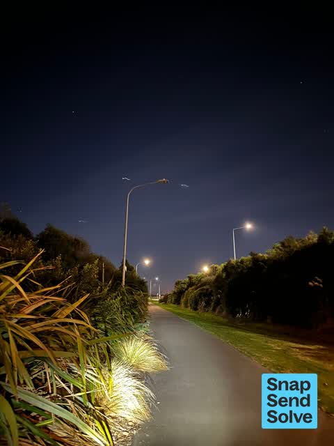
 Street Light Outage —
 Street light not working. Little river link cycleway.
 Park - General Request —
 Health and Safety. There are a lot of leaves on the paths in Broken Run. They are breaking down and with being wet they are slippery. I was
 Street Light Outage —
 Little river link MCR street light not working
- Graffiti —
- Graffiti —
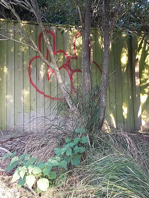
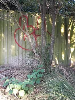 Graffiti —
 This is on the fence by the path through the side of Broken run. Parallel to number 39.
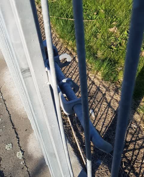
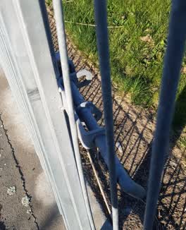 Pavement - General —
 No lock on gate on side of motorway children could get on to motorway
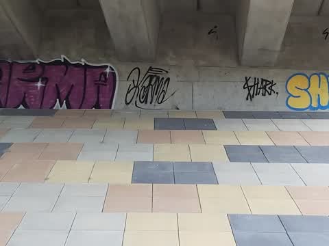
Graffiti —
under over pass aidenfield drive over southern motorway
Also reported on Broken Run
- 12 Broken Run — 7 reports
- 37 Broken Run — 6 reports
- 21 Broken Run — 6 reports
- 2 Broken Run — 5 reports
- 35 Broken Run — 4 reports
- 27 Broken Run — 4 reports
- 24 Broken Run — 4 reports
- 41 Broken Run — 3 reports
The street’s crash record
NZTA’s record names Broken Run in 3 crashes that hurt somebody since 2006 — 1 seriously hurt, nobody killed.
The green nearby
- Broken Run Reserve — 23 m to the edge · 3 ha
- Somerville Corridor Reserve — 58 m to the edge
- Mariposa Corridor Reserve — 111 m to the edge
- Mariposa Park — 183 m to the edge
- Nash Reserve — 297 m to the edge · 9 ha
Parks within half a kilometre, measured to the boundary — the council’s open data.
The civic shelf nearby
- Mt Magdala Cemetery — 390 m away · Cemetery
Libraries, halls and the rest within half a kilometre — the council’s open data.
On the doorstep
- Zhu Badminton Centre — 207 m away · Sports centres
- Flips & Tumbles — 252 m away · Sports centres
- Musgroves — 376 m away · Hardware
- LeBakermen — 390 m away · Cafés
Businesses within four hundred metres, measured at the pin — OpenStreetMap and the council directories.
The bus nearby
- Aidenfield (near McMahon Dr) — 408 m away · route 60
- Aidenfield (near McMahon Dr) — 425 m away · route 60
The closest Metro stops, within four hundred and fifty metres.
The tracks through here
- Walk and bike track through Wigram — 358 m to the line · walk · bike
- Walk and bike track through Wigram — 407 m to the line · walk · bike
Tracks whose line passes within half a kilometre, measured to the line itself — the council’s open data.
The named ground
Named water within 500 m of this address, measured to the line or the edge; Named places within 1.5 km of this address — the open map’s record.
Renting nearby
new bonds in Wigram ran about $697 a week — $147 above the city median of $550 — the suburb page keeps the rent record →.
The civic layer
This ground votes in Halswell ward — the Halswell-Hornby-Riccarton community board. Ward lines don’t always follow suburb lines; this one is measured at the pin, not the suburb’s centre.
What stood on this ground → · On the map → · From the air — the Crown’s aerials back to 1936; search the address on RetroLens →
Questions, answered briefly
12 council reports on record since March 2020 — most often graffiti (4), street light outage (2), overgrown vegetation (2).
Wigram, Christchurch — on Broken Run.
Nothing on the heritage register at this exact spot — the record around this ground →
Broken Run Reserve — 23 m to its edge, 3 ha.