17 Connal Street, Woolston
18 reports on record since July 2015 · 18 with photographs. The street’s heaviest record is 145 Connal Street — 58 reports on file. Indicative rating valuation and school zones, hazards, bin day and what stood here before.
What gets reported here
- Parks — 8
- Graffiti — 7
- Water Pollution - Sediment — 1
- Rubbish/Recycling — 1
- Roading/Streets — 1
Photographed here 18 on record

Reported here
 Water Pollution - Sediment —
 The river is really looking awful by the Radley Park bridge. Lots of rubbish contaminating the river
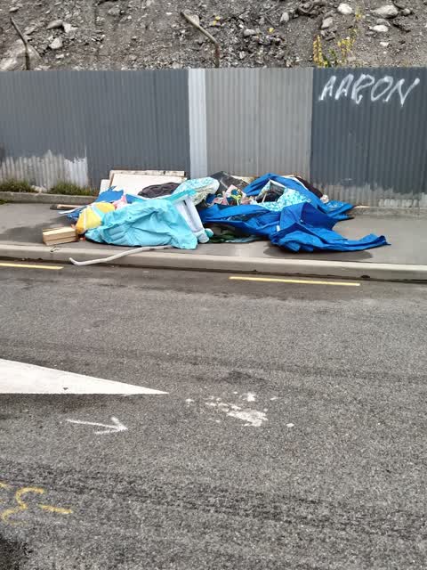
 Parks —
 This is so much rubbish!!
 Parks —
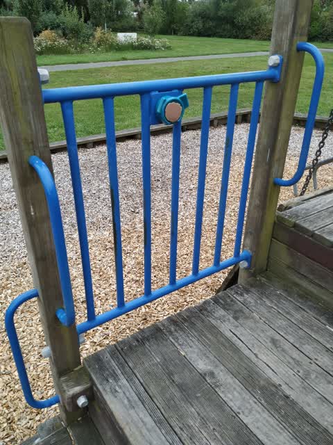
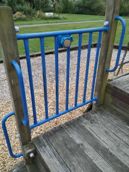
 Playground steering wheel broken
 Graffiti —
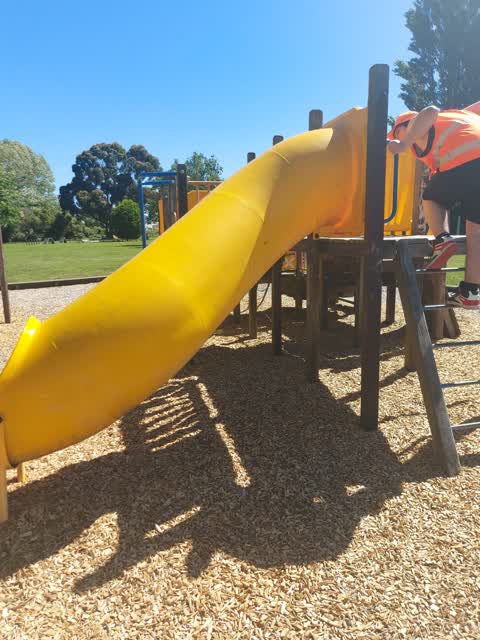
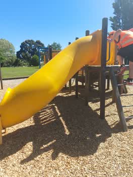
 Graffiti on play equipment in Radley Park, Woolston. Includes the name Nicole and word Fuck several times.
 Graffiti —
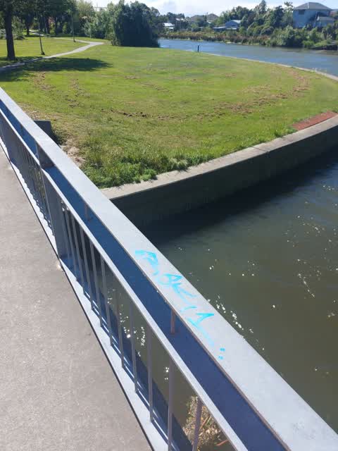
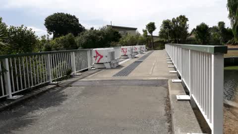
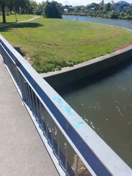
 Graffiti on railing of footbridge into Radley Park end of Connel st
 Graffiti —
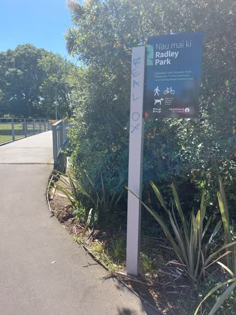
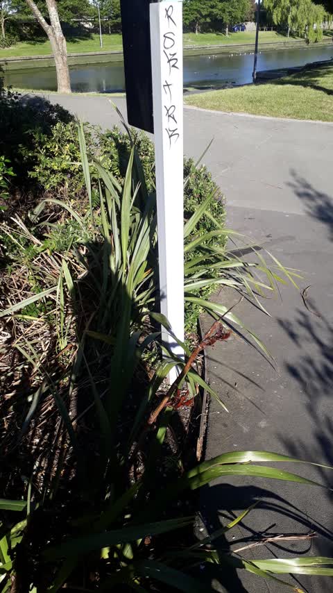
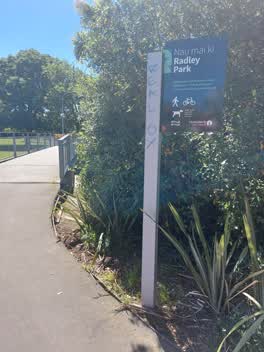
 Real ox written on sign of Radley Park at end of Connel St
 Graffiti —
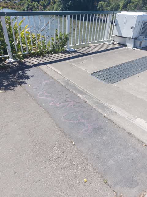
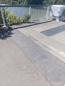
 Older graffiti on footpath on flood gate bridge - south side
 Parks —
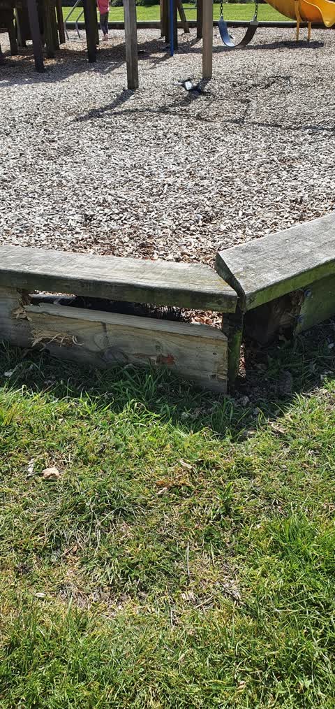
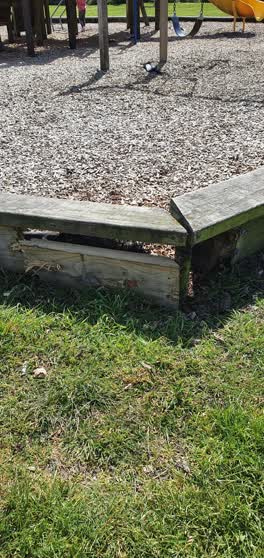
 Its in Radley Park which won't come up as location any more. It's the kids play area surround
 Parks —
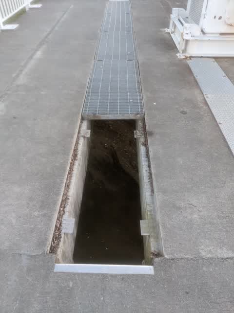
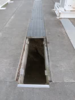
 Missing grate on bridge.
 Rubbish/Recycling —
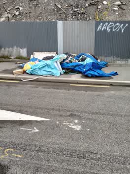
 dumped rubbish
Parks —
tagged
Graffiti —
Parks —
Hi, shabby chic market on Sunday who do an amazing job but unfortunately the maintenance of the grass on the river bank side has not bee don
Graffiti —
Weir/Foot bridge
Roading/Streets —
Loose cable hanging from the overhead lines. Appears to be from the Vodafone cable bundle. Children have been pulling on it and swinging fro
Graffiti —
Across both bridges and Radley park. Fluoro pink spray paint tagging on various surfaces
Parks —
The Ferry Rd side of the Heathcote has been regularly mowed but the other side including the section on Connal St hasn't been mowed in month
Parks —
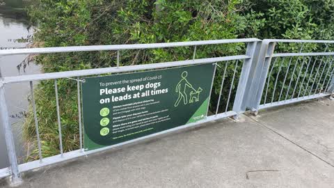
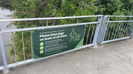
sign needs to be cleaned or replaced its filthy and badly faded
Also reported on Connal Street
- 145 Connal Street — 58 reports
- 15A Connal Street — 27 reports
- 3 Connal Street — 24 reports
- 15F Connal Street — 20 reports
- 9F Connal Street — 16 reports
- 57 Connal Street — 15 reports
- 15 Connal Street — 15 reports
- 67 Connal Street — 11 reports
The street’s crash record
NZTA’s record names Connal Street in 2 crashes that hurt somebody since 2006 — 0 seriously hurt, nobody killed.
The green nearby
- Radley Park — 7 m to the edge · 3 ha
- Connal Reserve — 90 m to the edge · 1 ha
- Laura Kent Reserve — 210 m to the edge
- Heathcote Riverbank — 300 m to the edge
- Palinurus Reserve — 348 m to the edge
Parks within half a kilometre, measured to the boundary — the council’s open data.
On the doorstep
- Shabby Chic Market — 69 m away · Markets
- Entente Cordiale — 221 m away · Business
- Finders Keepers — 221 m away · Clothing
- Lyttelton Records Events & Cafe — 225 m away · Venues & events
Businesses within four hundred metres, measured at the pin — OpenStreetMap and the council directories.
The bus nearby
The closest Metro stops, within four hundred and fifty metres.
The tracks through here
- Walk and bike track through Woolston — 22 m to the line · walk · bike
- Walk and bike track through Woolston — 36 m to the line · walk · bike
- Walk and bike track through Woolston — 205 m to the line · walk · bike
- Walk and bike track through Woolston — 206 m to the line · walk · bike
- Walk and bike track through Woolston — 226 m to the line · walk · bike
Tracks whose line passes within half a kilometre, measured to the line itself — the council’s open data.
The named ground
Named water within 500 m of this address, measured to the line or the edge; the council’s own structure register — bridges, boardwalks and steps standing nearby — the open map’s record.
Renting nearby
new bonds in Woolston ran about $511 a week — $39 below the city median of $550 — the suburb page keeps the rent record →.
What was here — Commercial Building and Setting
211 m away · 650 Ferry Road · located to ±26 m · the place’s own record →
On the register. Nothing researched here yet.
The civic layer
This ground votes in Linwood ward — the Coastal-Burwood-Linwood community board. Ward lines don’t always follow suburb lines; this one is measured at the pin, not the suburb’s centre.
What stood on this ground → · On the map → · From the air — the Crown’s aerials back to 1936; search the address on RetroLens →
Questions, answered briefly
18 council reports on record since July 2015 — most often parks (8), graffiti (7), water pollution - sediment (1).
Woolston, Christchurch — on Connal Street.
The heritage register names a place at or beside it — Commercial Building and Setting.
Radley Park — 7 m to its edge, 3 ha.