21 Dyers Road, Woolston
16 reports on record since July 2017 · 11 with photographs. The most-reported address on Dyers Road. Indicative rating valuation and school zones, hazards, bin day and what stood here before.
What gets reported here
Photographed here 11 on record


Reported here
 Overgrown Vegetation —
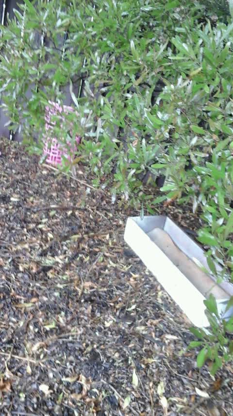
 Overgrown bush makes dangerous pedestrian crossing at Steam Wharf Reserve/Dyers Road
 Graffiti on a fence, building or structure —
  Graffiti on a traffic light pole or cabinet, or wa —
 Graffiti on street light pole
 Graffiti on a sign, mural or public art —
 Graffiti on sign board
 Graffiti on a traffic light pole or cabinet, or wa —
 Graffiti on street light pole
 Park - General Request —
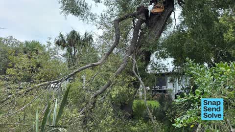
 Massive willow branch collapsed into the stream. Been like that for weeks now. Needs removal.
 Fallen Tree —
 Tree had fallen in waterway. Is a willow, an r appears to be hanging on, but another moderate windy event and could fall. Tree has fallen in
- Dumped Rubbish —
- Dumped Rubbish —
- General Request —
- Dumped Rubbish —
- Graffiti —
 Parks —
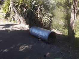
 Illegal dumping
 Rubbish/Recycling —
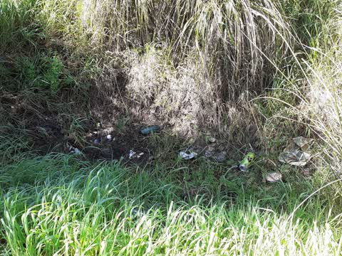
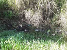
 Please clear rubbish in ditch next to Dyers road steamwharf stream.
 Parks —
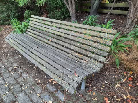
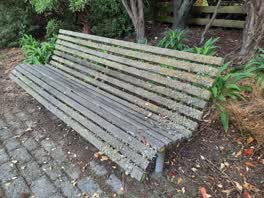
 Steamwharf Reserve - entrance off Dyers Road. Park bench needs to be water blasted & re-stained or oiled. Thanks
Roading/Streets —
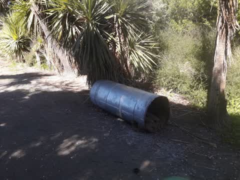
Old TV, tyres, basket, draws, and rubbish sacks dumped in garden erea and bush from ferry dyers corner and around corner to little stream o
Also reported on Dyers Road
- 20 Dyers Road — 13 reports
- 69L Dyers Road — 5 reports
- 91 Dyers Road — 3 reports
- 13 Dyers Road — 3 reports
- 23–81 Dyers Road — 2 reports
- 99 Dyers Road — 1 report
- 91A Dyers Road — 1 report
- 7 Dyers Road — 1 report
The street’s crash record
NZTA’s record names Dyers Road in 13 crashes that hurt somebody since 2006 — 3 seriously hurt, nobody killed.
The green nearby
- Kotuku Reserve — 27 m to the edge · 1 ha
- Steam Wharf Stream Reserve — 29 m to the edge
- Roundabout Reserve — 155 m to the edge
- Tunnel Road Reserve — 234 m to the edge · 3 ha
- Heathcote Riverbank True Right — 249 m to the edge · 8 ha
Parks within half a kilometre, measured to the boundary — the council’s open data.
The bus nearby
- Ferry Rd near Alport Pl — 164 m away · route 3, route 155
- Ferry Rd near Tunnel Rd — 177 m away · route 3, route 155
The closest Metro stops, within four hundred and fifty metres.
The tracks through here
- Walk and bike track through Woolston — 125 m to the line · walk · bike
- Walk and bike track through Woolston — 149 m to the line · walk · bike
- Walk and bike track through Woolston — 192 m to the line · walk · bike
- Walk and bike track through Woolston — 233 m to the line · walk · bike
- Walk and bike track through Woolston — 343 m to the line · walk · bike
Tracks whose line passes within half a kilometre, measured to the line itself — the council’s open data.
The named ground
Named water within 500 m of this address, measured to the line or the edge; the council’s own structure register — bridges, boardwalks and steps standing nearby — the open map’s record.
The remembered names nearby
- This Bollard… the Steam Wharf… — 184 m away ·
THIS BOLLARD… THE STEAM WHARF…
· 2003
Inscribed plaques within two hundred and fifty metres — the register’s pins, not surveyed spots. The whole roll is at /plaques.
Renting nearby
new bonds in Woolston ran about $511 a week — $39 below the city median of $550 — the suburb page keeps the rent record →.
The civic layer
This ground votes in Heathcote ward — the Spreydon-Cashmere-Heathcote community board. Ward lines don’t always follow suburb lines; this one is measured at the pin, not the suburb’s centre.
What stood on this ground → · On the map → · From the air — the Crown’s aerials back to 1936; search the address on RetroLens →
Questions, answered briefly
16 council reports on record since July 2017 — most often dumped rubbish (3), parks (2), graffiti on a traffic light pole or cabinet, or wa (2).
Woolston, Christchurch — on Dyers Road.
Nothing on the heritage register at this exact spot — the record around this ground →
Kotuku Reserve — 27 m to its edge, 1 ha.