30 Long Street, Woolston
15 reports on record since July 2017 · 11 with photographs. The most-reported address on Long Street. Indicative rating valuation and school zones, hazards, bin day and what stood here before.
What gets reported here
- Roading/Streets — 3
- Parks — 2
- Graffiti — 2
- Dumped Rubbish — 2
- Water Leak — 1
- Wastewater/Stormwater — 1
Photographed here 11 on record


Reported here
 General Request —
 Serious fire risk
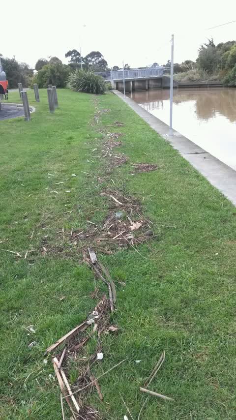
 Dumped Rubbish —
 Rubbish dumped in river. Need low tide to access.
- Rubbish and Bins - General —
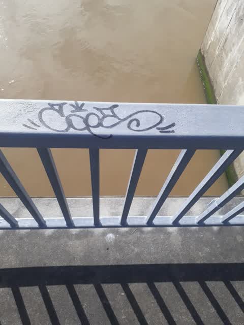
- Graffiti —
- Poles and Signage - General —
- Dumped Rubbish —
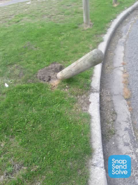
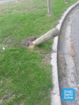 Park - General Request —
 Bollard has been pushed out will need to be fixed
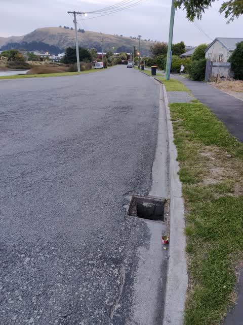
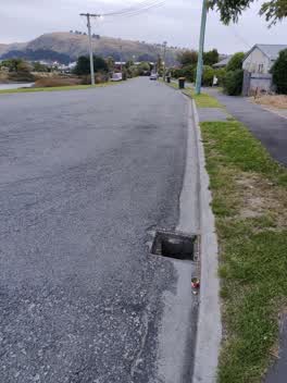 Wastewater/Stormwater —
 Missing cover for storm water drain
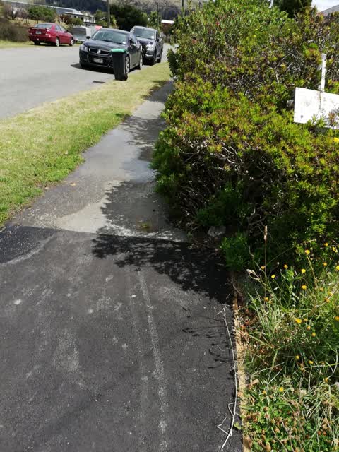
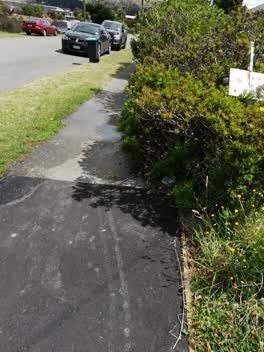 Roading/Streets —
 Vegetation is growing across footpath obstructing access. I have reported water leak seperately and have seen it being fixed today. The vege
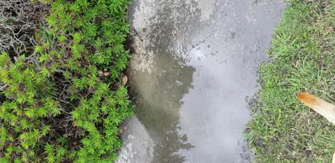
 Water Leak —
 leaking toby box
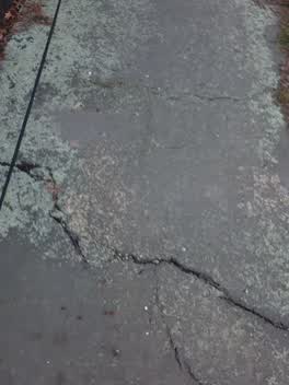 Roading/Streets —
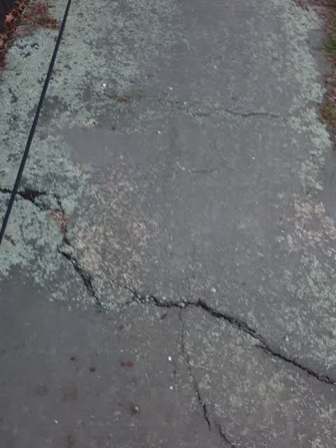
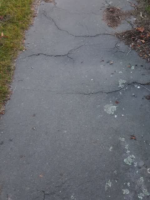
 Trip hazard and lichen. Long St is pretty heavily infested with lichen.
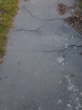 Roading/Streets —
 Trip hazard.
Parks —
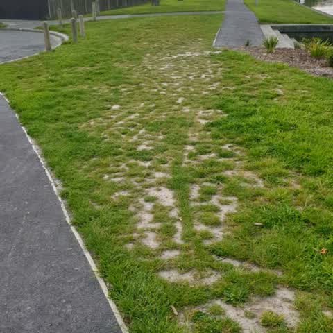
path needs to join
Graffiti —
Parks —
River Debris
Also reported on Long Street
- 16 Long Street — 7 reports
- 26 Long Street — 5 reports
- 12 Long Street — 5 reports
- 28 Long Street — 3 reports
- 2 Long Street — 3 reports
- 2-12 Long Street — 2 reports
- 2F Long Street — 1 report
- 22 Long Street — 1 report
The green nearby
- Staunton Esplanade Reserve — 12 m to the edge · 3 ha
- Heathcote Riverbank True Right — 49 m to the edge · 8 ha
- Gould Reserve — 83 m to the edge
- Roundabout Reserve — 286 m to the edge
- Tunnel Road Reserve — 309 m to the edge · 3 ha
Parks within half a kilometre, measured to the boundary — the council’s open data.
The bus nearby
- Ferry Rd near Alport Pl — 317 m away · route 3, route 155
- Ferry Rd near Alport Place — 328 m away · route 3, route 155
The closest Metro stops, within four hundred and fifty metres.
The tracks through here
- Walk and bike track through Woolston — 22 m to the line · walk · bike
- Walk and bike track through Woolston — 65 m to the line · walk · bike
- Walk and bike track through Woolston — 76 m to the line · walk · bike
- Walk and bike track through Woolston — 79 m to the line · walk · bike
- Walk and bike track through Woolston — 88 m to the line · walk · bike
Tracks whose line passes within half a kilometre, measured to the line itself — the council’s open data.
The named ground
Named water within 500 m of this address, measured to the line or the edge; the council’s own structure register — bridges, boardwalks and steps standing nearby — the open map’s record.
Renting nearby
new bonds in Woolston ran about $511 a week — $39 below the city median of $550 — the suburb page keeps the rent record →.
The civic layer
This ground votes in Linwood ward — the Coastal-Burwood-Linwood community board. Ward lines don’t always follow suburb lines; this one is measured at the pin, not the suburb’s centre.
What stood on this ground → · On the map → · From the air — the Crown’s aerials back to 1936; search the address on RetroLens →
Questions, answered briefly
15 council reports on record since July 2017 — most often roading/streets (3), parks (2), graffiti (2).
Woolston, Christchurch — on Long Street.
Nothing on the heritage register at this exact spot — the record around this ground →
Staunton Esplanade Reserve — 12 m to its edge, 3 ha.