34 Saint Johns Street
10 council reports since November 2019, 7 carrying a photograph. The street’s heaviest record is 92 Saint Johns Street, 11 reports on file.
From the air, then
Sourced from Canterbury Maps and partners. LINZ, CC BY 3.0 NZ. Each frame is cut from Environment Canterbury’s historic imagery MapServer for that decade, only where the Footprints layer names a CC BY survey (NZAM-covered spots stay out). RetroLens holds more Crown aerials →
The green nearby
- Glenroy Reserve, 106 m to the edge
- Charlotte Lane Park, 158 m to the edge
- St Lukes Reserve, 251 m to the edge · playground, 4 pieces
- Thistledown Reserve, 278 m to the edge
- Palinurus Reserve, 318 m to the edge
Parks within half a kilometre, measured to the boundary, the council’s open data. The whole roll is at /parks.
On the doorstep
- New World Ferry Road, 190 m away · Supermarkets
- New World, 195 m away · Supermarkets
- NZ Post, 217 m away · Post offices
- Discount Dairy, 229 m away · Dairies & convenience
Businesses within four hundred metres, measured at the pin, OpenStreetMap and the council directories.
The bus nearby
The closest Metro stops, within four hundred and fifty metres.
The tracks through here
- Walk and bike track through Woolston, 243 m to the line · walk · bike
- Walk and bike track through Woolston, 406 m to the line · walk · bike
- Walk and bike track through Woolston, 446 m to the line · walk · bike
- Walk and bike track through Woolston, 451 m to the line · walk · bike
Tracks whose line passes within half a kilometre, the council’s open data.
The named ground
Named water within 500 m of this address, measured to the line or the edge; the council’s own structure register, bridges, boardwalks and steps standing nearby, the open map’s record.
Renting nearby
new bonds in Woolston ran about $511 a week, $39 below the city median of $550, the suburb page keeps the rent record →.
What gets reported here
- General Request, 3
- Rubbish/Recycling, 2
- Overgrown Vegetation, 2
- Roading/Streets, 1
- Pothole, 1
- Damaged Road, 1
Photographed here 7 on record


What’s on record
 Overgrown Vegetation, 17 Oct 2025
 Overgrown Vegetation, 28 Apr 2025
 When is this going to be addressed job number 1349858 five days ago absolutely disgusting job done by your worker's overpaid for jobs done l
 General Request, 22 Feb 2025
 This is how your staff leave the berm outside our property I know we don't have to do but they are so rough .the berm has your sewer contrap
- Pothole, 3 Aug 2023
- Damaged Road, 21 Jan 2023
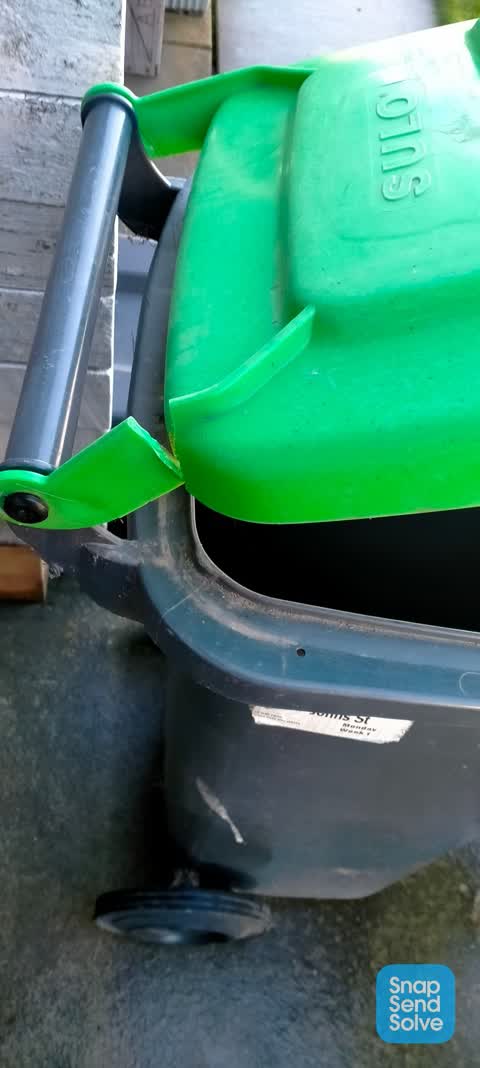
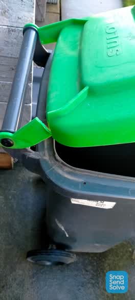 Rubbish/Recycling, 6 Jun 2022
 Lid has broken needs fixing thanks
- General Request, 19 Apr 2022
Stench outside is terrible seeping inside and we have double glazed windows
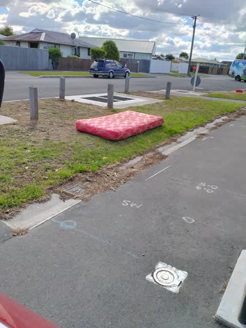
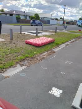 Roading/Streets, 14 Apr 2021
 rubbish left on our berm
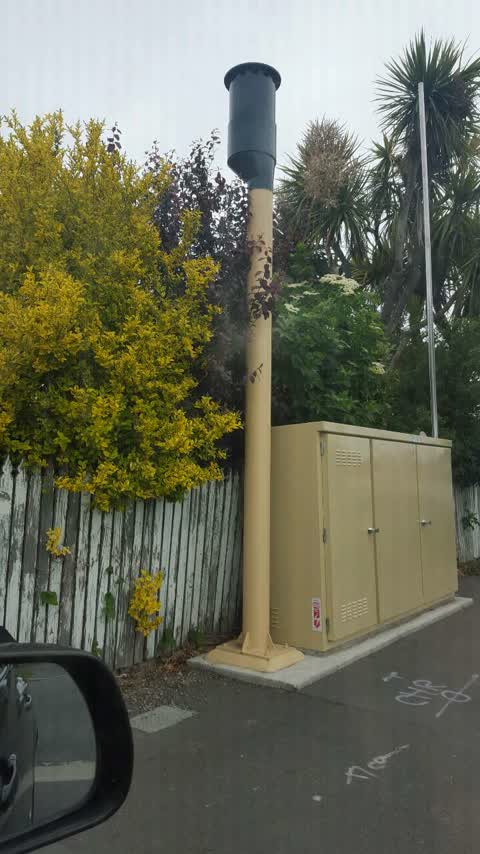
General Request, 6 Nov 2020
This is constantly stinking like poo so over it changing filters does not work
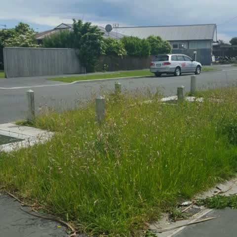
Rubbish/Recycling, 19 Nov 2019
This is meant to be done about every 4 weeks it has been on books to be done grass is so long you can't see sewer contraption on it
Elsewhere on Saint Johns Street
- 92 Saint Johns Street, 11 reports
- 114 Saint Johns Street, 11 reports
- 13 Saint Johns Street, 9 reports
- 69 Saint Johns Street, 7 reports
- 56 Saint Johns Street, 7 reports
- 111 Saint Johns Street, 7 reports
- 62 Saint Johns Street, 5 reports
- 51A Saint Johns Street, 5 reports
The civic layer
This ground votes in Linwood ward, the Coastal-Burwood-Linwood community board is its local layer. Ward lines don’t always follow suburb lines; this one is measured at the pin, not the suburb’s centre. The whole roll is at /wards.
Saint Johns Street, the whole record → · Everything about Woolston → · What stood on this ground → · On the map → · From the air, RetroLens holds the Crown’s aerials back to 1936; search the address there →
Questions, answered briefly
10 council reports on record since November 2019, most often general request (3), rubbish/recycling (2), overgrown vegetation (2).
Woolston, Christchurch, on Saint Johns Street.
Nothing on the heritage register at this exact spot, the record around this ground →
Glenroy Reserve, 106 m to its edge.