19 Church Square, Addington
13 reports on record since August 2019 · 12 with photographs. The street’s heaviest record is 14 Church Square — 48 reports on file. Indicative rating valuation and school zones, hazards, bin day and what stood here before.
What gets reported here
Photographed here 12 on record




Reported here
 Street Gutters / Storm Water —
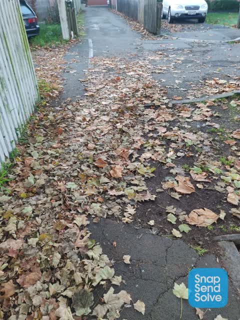
 Could we have the street gutters cleaned along poulson, church square area clogged up with leaves flood hazard.
 Dumped Rubbish —
 Very Large glass pane dumped on CCC berm.Not broken yet but will be if left on grass.On North side of Church Square near Church Lychgate
 Dumped Rubbish —
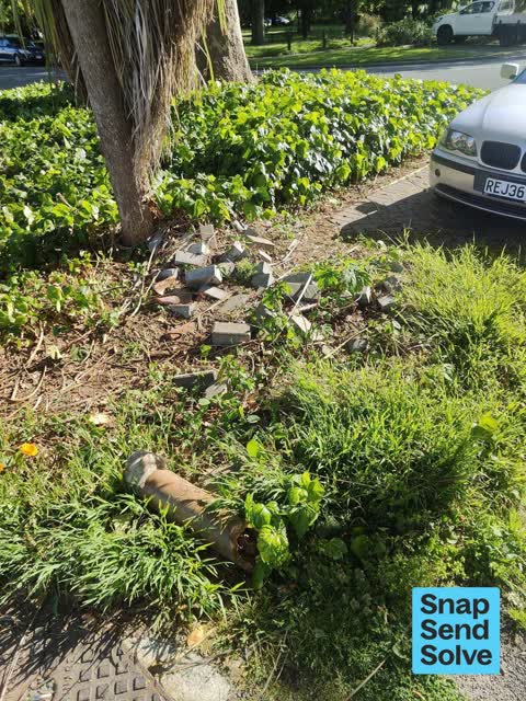
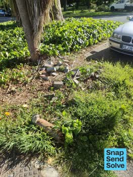
 Old water pipe and pile of paving bricks
 Roads - General —
 A section of cobbled parking here has been ripped up in the past. Dumped in and next too garden and has been left to grow weeds in the grave
 Poles and Signage - General —
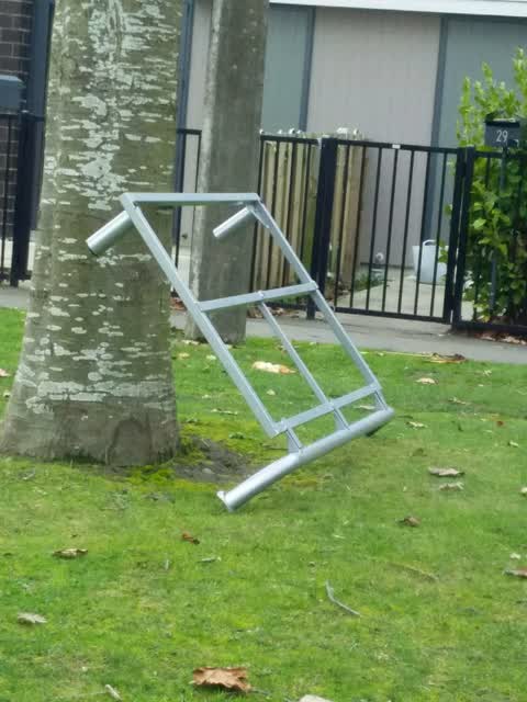
 Poles and chains snapped at Church Square Addington(opposite 44 Church Square)
 Dumped Rubbish —
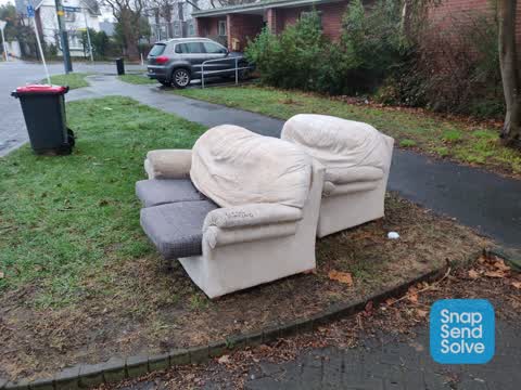
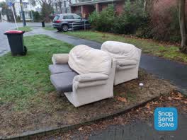
 Chair
- Dumped Rubbish —
 Dumped Rubbish —
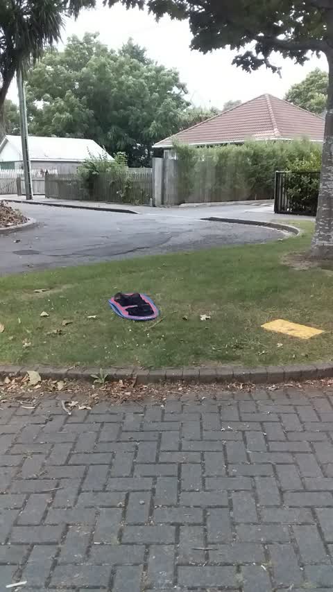
 Bag of rubbish and cardboard box left beside northeast parking area in church square
 Rubbish/Recycling —
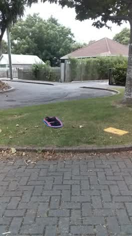
 Dumped by tenants living in 23 church square.
 Roading/Streets —
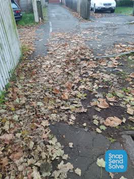
 Missing pavement from sidewalk. Just dirt.
 Rubbish/Recycling —
 Water Supply —
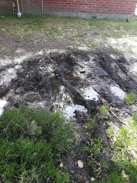
this has been a problem for years despite previous snap send solve requests. it is a health and safety issue as it is often slippery
Rubbish/Recycling —
Also reported on Church Square
- 14 Church Square — 48 reports
- 29 Church Square — 17 reports
- 30 Church Square — 16 reports
- 6 Church Square — 11 reports
- 11 Church Square — 11 reports
- 16 Church Square — 10 reports
- 35 Church Square — 8 reports
- 7 Church Square — 7 reports
The street’s crash record
NZTA’s record names Church Square in 4 crashes that hurt somebody since 2006 — 0 seriously hurt, nobody killed.
The green nearby
- Cornelius O'connor Reserve — 109 m to the edge
- Mountfort Park — 258 m to the edge · Botanic
- Addington Cemetery — 290 m to the edge · Botanic · 2 ha
- Disraeli Reserve — 330 m to the edge
- Selwyn Reserve — 437 m to the edge
Parks within half a kilometre, measured to the boundary — the council’s open data.
On the doorstep
- Harcourts Christchurch — 282 m away · Real estate
- Resure — 300 m away · Insurance
- Cheeky Sparrow - Addington — 310 m away · Cafés
- Mainland Resene ColorShop — 319 m away · Paint
Businesses within four hundred metres, measured at the pin — OpenStreetMap and the council directories.
The bus nearby
The closest Metro stops, within four hundred and fifty metres.
The tracks through here
- Walk and bike track through Addington — 4 m to the line · walk · bike
- Walk and bike track through Addington — 29 m to the line · walk · bike
- Walk and bike track through Addington — 50 m to the line · walk · bike
- Walk and bike track through Addington — 241 m to the line · walk · bike
- Walk and bike track through Addington — 368 m to the line · walk · bike
Tracks whose line passes within half a kilometre, measured to the line itself — the council’s open data.
The named ground
Named water within 500 m of this address, measured to the line or the edge; Named places within 1.5 km of this address — the open map’s record.
Renting nearby
new bonds in Addington ran about $502 a week — $48 below the city median of $550 — the suburb page keeps the rent record →.
What was here — Church of St Mary the Virgin Lychgate and Setting
36 m away · located to ±3 m · the place’s own record →
On the register. Nothing researched here yet.
What was here — Church Square and Setting
56 m away · 21A Church Square · located to ±45 m · the place’s own record →
On the register. Nothing researched here yet.
What was here — Church of St Mary the Virgin and Setting
63 m away · 21A Church Square · located to ±16 m · the place’s own record →
On the register. Nothing researched here yet.
What was here — Church of St Mary the Virgin Belltower and Setting
76 m away · located to ±3 m · the place’s own record →
On the register. Nothing researched here yet.
The civic layer
This ground votes in Spreydon ward — the Spreydon-Cashmere-Heathcote community board. Ward lines don’t always follow suburb lines; this one is measured at the pin, not the suburb’s centre.
What stood on this ground → · On the map → · From the air — the Crown’s aerials back to 1936; search the address on RetroLens →
Questions, answered briefly
13 council reports on record since August 2019 — most often dumped rubbish (5), rubbish/recycling (3), water supply (1).
Addington, Christchurch — on Church Square.
The heritage register names 4 places at or beside it — Church of St Mary the Virgin Lychgate and Setting, Church Square and Setting.
Cornelius O'connor Reserve — 109 m to its edge.