351 Selwyn Street, Addington
15 reports on record since July 2015 · 11 with photographs. The street’s heaviest record is 377 Selwyn Street — 19 reports on file. Indicative rating valuation and school zones, hazards, bin day and what stood here before.
What gets reported here
Photographed here 11 on record




Reported here
 Flooding —
 flooding
 Street Gutters / Storm Water —
 I have reported this blocked culvert to the council before but nothing has been done to clear it. Today, the water was up over the footpath
 Roads - General —
 Who did this repair here? It's really bumpy and shoddy. Get the contractor back to do it again.
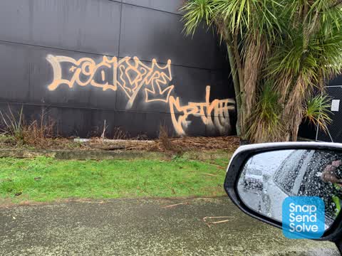
 Graffiti on a traffic light pole or cabinet, or wa —
 Ward st corner
 Street Gutters / Storm Water —
 In Ward St, Selwyn St end. This happens every time it rains. The water is not far from spilling over onto the footpath.
 Pavement - Damaged —
 Earlier this year the Council did works on the water mains at Selwyn/Ruskin. They dug up the verge to make a trench but have done a poor job
 Dumped Rubbish —
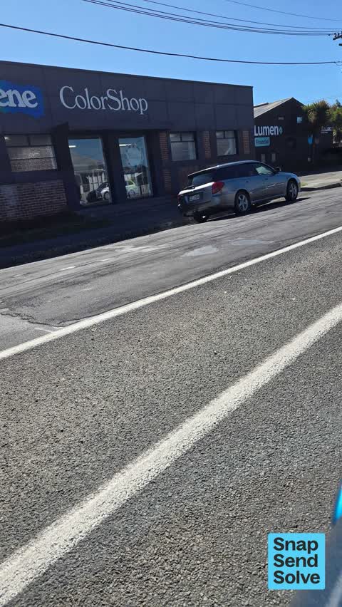
 The people at 55 Ward Street are dumping rubbish outside the Resene building.
 Dumped Rubbish —
 - Pothole —
- Pothole —
- Roads - General —
- Dumped Rubbish —
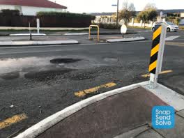 Roading/Streets —
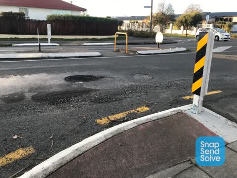
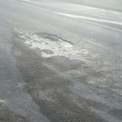
 Large pothole in the centre of the lane on Selwyn St near Ward St. Aggregate on the side of road hazard for cyclists too.
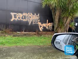 Graffiti —
 Roading/Streets —
Pot hole
Also reported on Selwyn Street
- 377 Selwyn Street — 19 reports
- 376 Selwyn Street — 19 reports
- 320 Selwyn Street — 17 reports
- 410 Selwyn Street — 16 reports
- 336A Selwyn Street — 16 reports
- 380 Selwyn Street — 13 reports
- 319 Selwyn Street — 12 reports
- 424 Selwyn Street — 11 reports
The street’s crash record
NZTA’s record names Selwyn Street in 120 crashes that hurt somebody since 2006 — 2 people killed, 16 seriously hurt.
The green nearby
- Selwyn Reserve — 205 m to the edge
- Addington Cemetery — 210 m to the edge · Botanic · 2 ha
- Ruskin Reserve — 230 m to the edge
- Baxters Drain — 283 m to the edge
- Cornelius O'connor Reserve — 342 m to the edge
Parks within half a kilometre, measured to the boundary — the council’s open data.
On the doorstep
- Mainland Resene ColorShop — 13 m away · Paint
- Everybody's Butchery — 40 m away · Butchers
- Resure — 41 m away · Insurance
- 319 Addington Motel — 163 m away · Motels
Businesses within four hundred metres, measured at the pin — OpenStreetMap and the council directories.
The bus nearby
The closest Metro stops, within four hundred and fifty metres.
The tracks through here
- Walk and bike track through Addington — 147 m to the line · walk · bike
- Walk and bike track through Addington — 266 m to the line · walk · bike
- Walk and bike track through Addington — 349 m to the line · walk · bike
- Walk and bike track through Addington — 417 m to the line · walk · bike
- Walk and bike track through Addington — 468 m to the line · walk · bike
Tracks whose line passes within half a kilometre, measured to the line itself — the council’s open data.
The named ground
Named water within 500 m of this address, measured to the line or the edge; Named places within 1.5 km of this address; the council’s own structure register — bridges, boardwalks and steps standing nearby — the open map’s record.
Renting nearby
new bonds in Addington ran about $502 a week — $48 below the city median of $550 — the suburb page keeps the rent record →.
What was here — Dwelling and Setting
193 m away · 383 Selwyn Street · located to ±9 m · the place’s own record →
On the register. Nothing researched here yet.
What was here — Dwelling and Setting
223 m away · 389 Selwyn Street · located to ±8 m · the place’s own record →
On the register. Nothing researched here yet.
What was here — Dwelling and Setting
233 m away · 391 Selwyn Street · located to ±8 m · the place’s own record →
On the register. Nothing researched here yet.
The civic layer
This ground votes in Spreydon ward — the Spreydon-Cashmere-Heathcote community board. Ward lines don’t always follow suburb lines; this one is measured at the pin, not the suburb’s centre.
What stood on this ground → · On the map → · From the air — the Crown’s aerials back to 1936; search the address on RetroLens →
Questions, answered briefly
15 council reports on record since July 2015 — most often dumped rubbish (3), street gutters / storm water (2), roads - general (2).
Addington, Christchurch — on Selwyn Street.
The heritage register names 3 places at or beside it — Dwelling and Setting, Dwelling and Setting.
Selwyn Reserve — 205 m to its edge.