355 Lincoln Road, Addington
50 reports on record since January 2017 · 36 with photographs. The most-reported address on Lincoln Road. Indicative rating valuation and school zones, hazards, bin day and what stood here before.
What gets reported here
Photographed here 36 on record


Reported here
 Graffiti on a traffic light pole or cabinet, or wa,
  Graffiti on a fence, building or structure,
  Graffiti on a traffic light pole or cabinet, or wa,
 graffiti on two traffic control cabinets nearby
 Graffiti on a traffic light pole or cabinet, or wa,
  Graffiti on a fence, building or structure,
  Graffiti on a fence, building or structure,
 graffiti on redblock wall of salvation army
- Graffiti on a bus stop or public toilet,
bus stop 47137
 Graffiti on a fence, building or structure,
 graffiti on side of building
 Graffiti on a fence, building or structure,
  Graffiti on a fence, building or structure,
  Graffiti on a fence, building or structure,
 Graffiti on side
 Graffiti on a fence, building or structure,
 Graffiti on lamp post
 Graffiti on a fence, building or structure,
 Graffiti on lamp post
 Graffiti on a fence, building or structure,
  Water Leak,
  Graffiti on a fence, building or structure,
  Graffiti on a fence, building or structure,
  Graffiti on a fence, building or structure,
 Salvation Army op shop building
 Graffiti on a fence, building or structure,
  Graffiti on a fence, building or structure,
  Graffiti on a fence, building or structure,
  Graffiti on a fence, building or structure,
 See pic
 Pavement - Damaged,
 Broken glass on the footpath needs removal ASAP. I had to warn a dog walker while on site. She had to step on to the cycle lane to get past.
 Pavement - General,
 Broken glass all over the footpath
 Graffiti somewhere else,
 Tags all along this wall here
 Graffiti somewhere else,
  Graffiti on a fence, building or structure,
 Yellow paint tag on concrete base of sign facing the footpath at 351 Lincoln Road.
 Graffiti on a fence, building or structure,
 Various tags on wall 353 Lincoln road
 Graffiti somewhere else,
 Graffiti on the red brick on the side of the salvation army store visible from the Lincoln roadside
 Graffiti,
 Silver paint tag on telecommunications asset C115A 82 by 355 Lincoln Road.
 Road Signage,
 Uprooted buslane sign
- Graffiti,
- Graffiti,
- Graffiti,
- Graffiti,
- Graffiti,
- Graffiti,
- Graffiti,
- Graffiti,
- Graffiti,
- Graffiti,
- Graffiti,
- Graffiti,
- Graffiti,
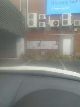 Graffiti,
 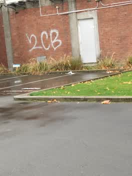 Graffiti,
 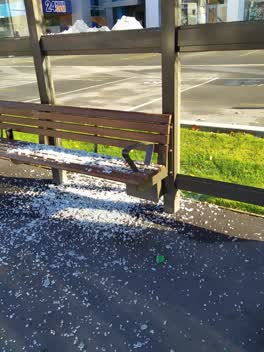 Graffiti,
 bus stop glass broken
Graffiti,
Roading/Streets,
Gate for bus stop being worked on has fallen over
Roading/Streets,
P 60 sign missing from corner Dickenson st and Lincoln rd
Also reported on Lincoln Road
- 361 Lincoln Road, 43 reports
- 410 Lincoln Road, 42 reports
- 359B Lincoln Road, 40 reports
- 376 Lincoln Road, 38 reports
- 184 Lincoln Road, 34 reports
- 359 Lincoln Road, 32 reports
- 332 Lincoln Road, 30 reports
- 162 Lincoln Road, 30 reports
From the air, then
Sourced from Canterbury Maps and partners. LINZ, CC BY 3.0 NZ. Each frame is cut from Environment Canterbury’s historic imagery MapServer for that decade, only where the Footprints layer names a CC BY survey (NZAM-covered spots stay out). RetroLens holds more Crown aerials →
The street’s crash record
NZTA’s record names Lincoln Road in 165 crashes that hurt somebody since 2006, 2 people killed, 45 seriously hurt.
The green nearby
- Mountfort Park, 119 m to the edge · Botanic
- Hagley Park South, 249 m to the edge · Sports ground · 71 ha
- Cornelius O'connor Reserve, 354 m to the edge
- Walsall Reserve, 406 m to the edge
Parks within half a kilometre, measured to the boundary, the council’s open data.
On the doorstep
- Salvation Army Family Store, 30 m away · Op shops
- Pita Pit - Addington, 36 m away · Fast food
- Burger King, 44 m away · Fast food
- KUMO Japanese Cuisine, 50 m away · Restaurants
Businesses within four hundred metres, measured at the pin: OpenStreetMap and the council directories.
The bus nearby
- Lincoln Rd near Dickens St, 26 m away · route 7, route 120
- Lincoln Rd near Hazeldean Rd, 87 m away · route 7
The closest Metro stops, within four hundred and fifty metres.
The tracks through here
- Walk and bike track through Addington, 11 m to the line · walk · bike
- Walk and bike track through Addington, 111 m to the line · walk · bike
- Walk and bike track through Addington, 261 m to the line · walk · bike
- Walk and bike track through Addington, 266 m to the line · walk · bike
- Walk and bike track through Addington, 288 m to the line · walk · bike
Tracks whose line passes within half a kilometre, measured to the line itself, the council’s open data.
The named ground
Named water within 500 m of this address, measured to the line or the edge; Named places within 1.5 km of this address, the open map’s record.
The remembered names nearby
- Charles Dickens (1812 - 1870) Was One of the Most Popular, 156 m away ·
Charles Dickens (1812 - 1870) was one of the most popular English novelists of the Victori
· 2013
Inscribed plaques within two hundred and fifty metres, the register’s pins, not surveyed spots. The whole roll is at /plaques.
Renting nearby
new bonds in Addington ran about $502 a week, $48 below the city median of $550, the suburb page keeps the rent record →.
What was here, Former Addington Gaol, Wall and Setting
170 m away · 15/336 Lincoln Road · located to ±69 m · the place’s own record →
On the register. Nothing researched here yet.
The civic layer
This ground votes in Spreydon ward, the Spreydon-Cashmere-Heathcote community board. Ward lines don’t always follow suburb lines; this one is measured at the pin, not the suburb’s centre.
What stood on this ground → · On the map → · From the air, the Crown’s aerials back to 1936; search the address on RetroLens →
Questions, answered briefly
50 council reports on record since January 2017, most often graffiti on a fence, building or structure (19), graffiti (18), graffiti somewhere else (3).
Addington, Christchurch, on Lincoln Road.
The heritage register names a place at or beside it, Former Addington Gaol, Wall and Setting.
Mountfort Park, 119 m to its edge.