359 Lincoln Road, Addington
32 reports on record since March 2019 · 28 with photographs. The street’s heaviest record is 355 Lincoln Road — 48 reports on file. Indicative rating valuation and school zones, hazards, bin day and what stood here before.
What gets reported here
- Graffiti — 12
- Graffiti somewhere else — 5
- Graffiti on a fence, building or structure — 3
- Graffiti on a bus stop or public toilet — 2
- General Request — 2
- Rubbish/Recycling — 1
Photographed here 28 on record


Reported here
 Graffiti on a fence, building or structure —
  General Request —
  General Request —
 graffiti on Orion light lamp post pole
 Graffiti on a fence, building or structure —
 graffiti on cream wall salvation army building
 Graffiti on a fence, building or structure —
 salvo store tag
 Graffiti on a traffic light pole or cabinet, or wa —
 Graffiti on traffic control cabinets
 Damaged Road —
 Pothole created on footpath/entrance following rain event
 Rubbish and Bins - General —
 The bins around 359 Lincoln Rd obstruct the narrow footpath. I’ve just seen an elderly gent in a mobility scooter ride the wrong way up the
 Graffiti somewhere else —
  Graffiti somewhere else —
  Graffiti somewhere else —
  Graffiti on a bus stop or public toilet —
 On bus stop
 Graffiti on a bus stop or public toilet —
 On bus stop
 Graffiti somewhere else —
 Blue traffic control cabinet has graffiti on it
 Graffiti somewhere else —
  Graffiti on a sign, mural or public art —
 White paint tags on large sign at. 359 Lincoln Road.
 Dumped Rubbish —
 Dumped bed on pavement. Have pulled off the footpath.
 Facility - General Request —
 Not sure what this box is for, or who ‘owns’ it. But clearly it has been damaged and needs to be repaired/ replaced. Thank you.
- Graffiti —
- Graffiti —
- Graffiti —
- Graffiti —
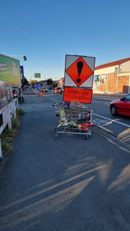 Rubbish/Recycling —
 Two abandoned trolleys just past the railroad tracks, full of rubbish. Have been there for over a week now
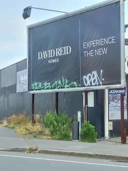 Graffiti —
 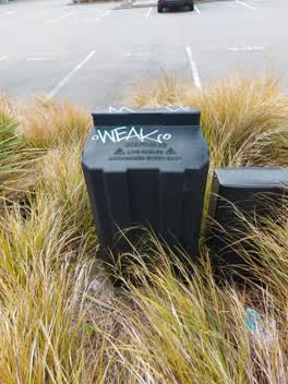 Graffiti —
 Graffiti on Orion box
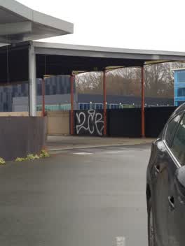 Graffiti —
 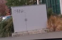 Graffiti —
 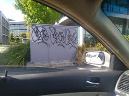 Graffiti —
 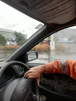 Flooding —
 Can't access the carpark at that address. Looks like a blocked drain
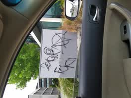 Graffiti —
  Graffiti —
 Graffiti —
Also reported on Lincoln Road
- 355 Lincoln Road — 48 reports
- 410 Lincoln Road — 42 reports
- 361 Lincoln Road — 42 reports
- 359B Lincoln Road — 39 reports
- 376 Lincoln Road — 38 reports
- 184 Lincoln Road — 34 reports
- 162 Lincoln Road — 30 reports
- 332 Lincoln Road — 29 reports
The street’s crash record
NZTA’s record names Lincoln Road in 165 crashes that hurt somebody since 2006 — 2 people killed, 45 seriously hurt.
The green nearby
- Mountfort Park — 175 m to the edge · Botanic
- Hagley Park South — 221 m to the edge · Sports ground · 71 ha
- Cornelius O'connor Reserve — 318 m to the edge
- Walsall Reserve — 468 m to the edge
Parks within half a kilometre, measured to the boundary — the council’s open data.
On the doorstep
- Subway Addington — 11 m away · Fast food
- Empire Chicken — 33 m away · Fast food
- Salvation Army Family Store — 40 m away · Op shops
- N'Joy Cafe — 56 m away · Restaurants
Businesses within four hundred metres, measured at the pin — OpenStreetMap and the council directories.
The bus nearby
- Lincoln Rd near Hazeldean Rd — 29 m away · route 7
- Lincoln Rd near Dickens St — 92 m away · route 7, route 120
The closest Metro stops, within four hundred and fifty metres.
The tracks through here
- Walk and bike track through Addington — 14 m to the line · walk · bike
- Walk and bike track through Addington — 68 m to the line · walk · bike
- Walk and bike track through Addington — 218 m to the line · walk · bike
- Walk and bike track through Addington — 238 m to the line · walk · bike
- Walk and bike track through Addington — 272 m to the line · walk · bike
Tracks whose line passes within half a kilometre, measured to the line itself — the council’s open data.
The named ground
Named water within 500 m of this address, measured to the line or the edge; Named places within 1.5 km of this address — the open map’s record.
The remembered names nearby
- Charles Dickens (1812 - 1870) Was One of the Most Popular — 187 m away ·
Charles Dickens (1812 - 1870) was one of the most popular English novelists of the Victori
· 2013
Inscribed plaques within two hundred and fifty metres — the register’s pins, not surveyed spots. The whole roll is at /plaques.
Renting nearby
new bonds in Addington ran about $502 a week — $48 below the city median of $550 — the suburb page keeps the rent record →.
What was here — Former Addington Gaol, Wall and Setting
229 m away · 15/336 Lincoln Road · located to ±69 m · the place’s own record →
On the register. Nothing researched here yet.
The civic layer
This ground votes in Spreydon ward — the Spreydon-Cashmere-Heathcote community board. Ward lines don’t always follow suburb lines; this one is measured at the pin, not the suburb’s centre.
What stood on this ground → · On the map → · From the air — the Crown’s aerials back to 1936; search the address on RetroLens →
Questions, answered briefly
32 council reports on record since March 2019 — most often graffiti (12), graffiti somewhere else (5), graffiti on a fence, building or structure (3).
Addington, Christchurch — on Lincoln Road.
The heritage register names a place at or beside it — Former Addington Gaol, Wall and Setting.
Mountfort Park — 175 m to its edge.