36 Bronco Drive, Aidanfield
23 reports on record since January 2019 · 17 with photographs. The most-reported address on Bronco Drive. Indicative rating valuation and school zones, hazards, bin day and what stood here before.
What gets reported here
Photographed here 17 on record




Reported here
 Accessibility —
 This is a well used track under the motorway. But with the rain it's very slippery and dangerous. I fell over and really hurt my hip and ha
 Graffiti on a fence, building or structure —
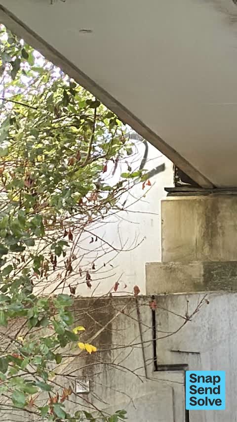
 On underpass between broken run reserve . And Aidenfield. Close to top of bridge
- Graffiti somewhere else —
Motorway Underpass between Broken Run and Aidenfield
 Graffiti somewhere else —
 Underpass motorway broken run reserve to Aidenfield 2 tags
 Pavement - General —
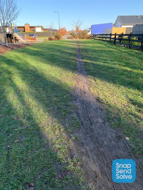
 Please can you formalise this path? I.e gravel or pave it? It appears on Google maps yet can’t be used when wet as it turns to mud. Lots of
 Graffiti on a road, footpath or bridge —
 Graffiti on walls of underpass of Southern motorway, by the Heathcote stream.
 Graffiti on a road, footpath or bridge —
  Pavement - General —
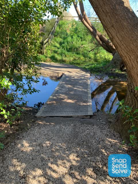
 Someone is building what appears to be an unauthorized bridge across the Heathcote River near Bronco Dr. The idea is good but construction i
- Graffiti —
- Graffiti —
- Pavement - General —
- Pavement - General —
- Pavement - Damaged —
 Graffiti —
 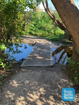 Pavement - Damaged —
 The footpath that connects Aidanfield (bronco park) to Wigram under the motorway is really well used but absolutely suffered after all the r
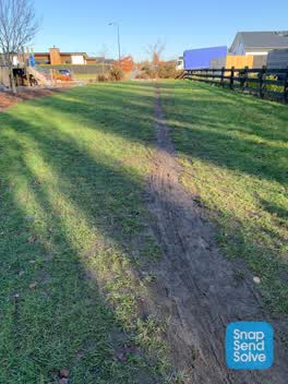 Parks —
 Hi team. This patch next to Bronco park is very wel used by cyclists and pedestrians. Unfortunately it gets very muddy in the winter. Also
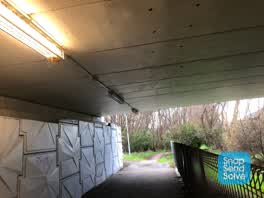 Street Light Outage —
 Lightening out
 Graffiti —
 Aidenfield cycle way and walk way motor way underpass. Broken run to Aidenfield
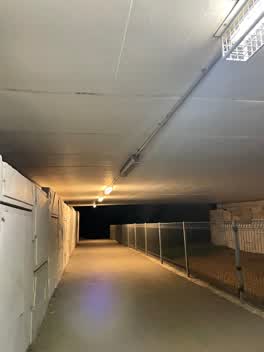 Roading/Streets —
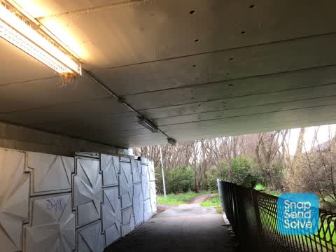
 Almost all of the cycle way underpath lights have blown
Graffiti —
under the under pass on southern motorway. near sommerville cres
Graffiti —
Graffiti —
under the motorway
Parks —
Could this be mowed or cut back pls.
Also reported on Bronco Drive
- 34R Bronco Drive — 5 reports
- 34 Bronco Drive — 4 reports
- 32 Bronco Drive — 2 reports
- 23 Bronco Drive — 2 reports
- 70 Bronco Drive — 1 report
- 68 Bronco Drive — 1 report
- 46 Bronco Drive — 1 report
- 42 Bronco Drive — 1 report
The green nearby
- Nash Reserve — 20 m to the edge · 9 ha
- Somerville Corridor Reserve — 38 m to the edge
- Broken Run Reserve — 70 m to the edge · 3 ha
- Somerville Reserve — 177 m to the edge
- Wigram Road Landscape Reserve — 260 m to the edge
Parks within half a kilometre, measured to the boundary — the council’s open data.
The civic shelf nearby
- Mt Magdala Cemetery — 443 m away · Cemetery
Libraries, halls and the rest within half a kilometre — the council’s open data.
The bus nearby
- Aidenfield (near McMahon Dr) — 404 m away · route 60
- Aidenfield (near McMahon Dr) — 432 m away · route 60
The closest Metro stops, within four hundred and fifty metres.
The tracks through here
- Walk and bike track through Aidanfield — 494 m to the line · walk · bike
Tracks whose line passes within half a kilometre, measured to the line itself — the council’s open data.
The named ground
Named water within 500 m of this address, measured to the line or the edge; Named places within 1.5 km of this address; the council’s own structure register — bridges, boardwalks and steps standing nearby — the open map’s record.
Renting nearby
new bonds in Aidanfield ran about $750 a week — $200 above the city median of $550 — the suburb page keeps the rent record →.
The civic layer
This ground votes in Halswell ward — the Halswell-Hornby-Riccarton community board. Ward lines don’t always follow suburb lines; this one is measured at the pin, not the suburb’s centre.
What stood on this ground → · On the map → · From the air — the Crown’s aerials back to 1936; search the address on RetroLens →
Questions, answered briefly
23 council reports on record since January 2019 — most often graffiti (7), pavement - general (4), pavement - damaged (2).
Aidanfield, Christchurch — on Bronco Drive.
Nothing on the heritage register at this exact spot — the record around this ground →
Nash Reserve — 20 m to its edge, 9 ha.