2 Julius Place, Akaroa
14 reports on record since March 2017 · 9 with photographs. The most-reported address on Julius Place. Indicative rating valuation and school zones, hazards, bin day and what stood here before.
What gets reported here
- Roading/Streets — 4
- Pavement - Damaged — 2
- Parks — 2
- Water Leak — 1
- Vandalism - General — 1
- Sewer - Leak / Blockage — 1
Photographed here 9 on record



Reported here
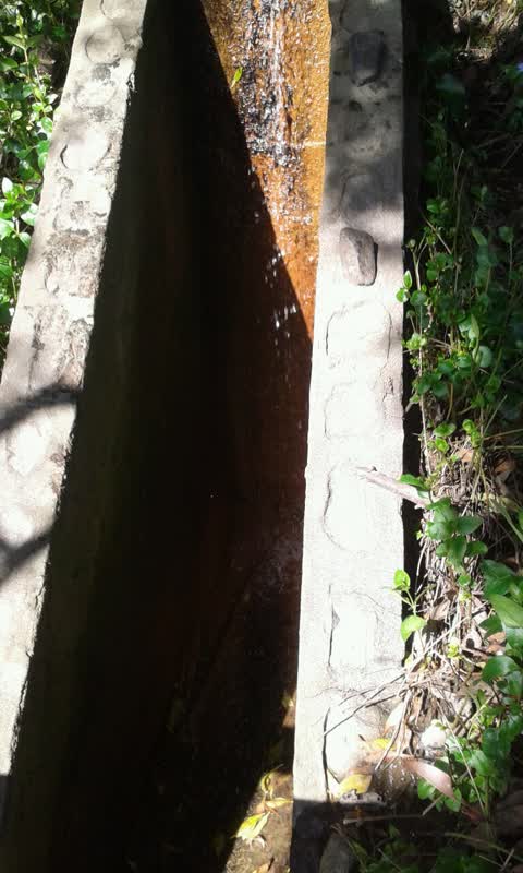
 Water Leak —
 some leaking happening at the bank, making the whole road wet and a big waterflow at the walking way path.
 Sewer - Leak / Blockage —
 blocked
- Pavement - Damaged —
- Facility - General Request —
- Pavement - General —
- Vandalism - General —
- Pit and Equipment - General —
 Pavement - Damaged —
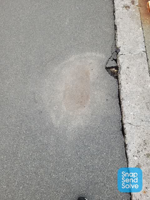
 Footpath is slumping here - right beside the edge by the sea wall on beach road
 Roading/Streets —
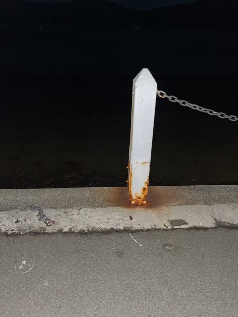
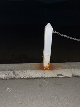
 Chain broken on footpaths
Roading/Streets —
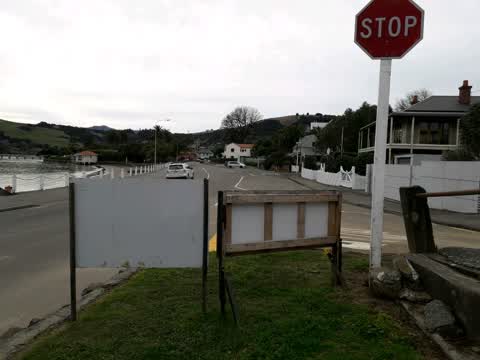
The Gough building has blocked the top entrance now their signage has blocked public access to bottom track, below Stanley park and on Beach
Roading/Streets —
Can we please have our track reformed
Roading/Streets —
Can we please have our track reformed
Parks —
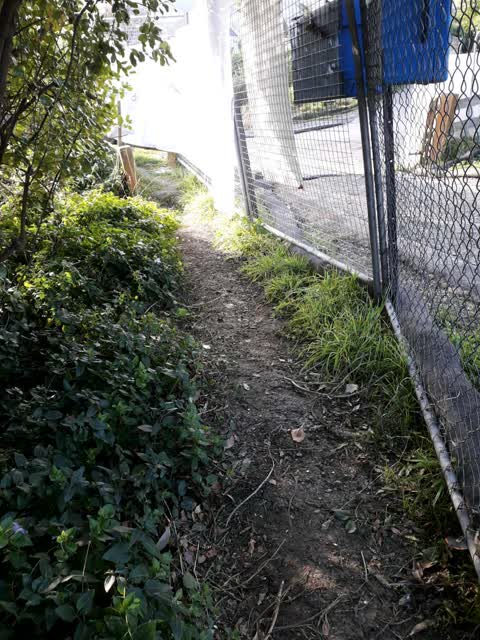
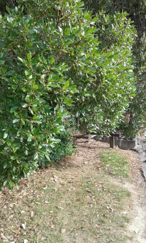
Lower walking track below Stanley Park and alongside Beach Road has water running out from drain and along walkway making it very muddy.
Parks —
Low limb hanging over walk way on beach Road below Julius Place
Also reported on Julius Place
- 5 Julius Place — 1 report
The green nearby
- Akaroa Beach — 17 m to the edge · 1 ha
- Stanley Park — 56 m to the edge · 7 ha
- Walnut Place Reserve — 161 m to the edge
- Cenotaph War Memorial — 192 m to the edge · Botanic
- Rue Balguerie Reserve — 228 m to the edge
Parks within half a kilometre, measured to the boundary — the council’s open data.
The civic shelf nearby
- Akaroa Library — 334 m away · Library · 2 Selwyn Ave
Libraries, halls and the rest within half a kilometre — the council’s open data.
On the doorstep
- Tini Bar & Eatery — 49 m away · Restaurants
- Garthowen Bed and Breakfast — 91 m away · B&Bs
- Maison de la Mer — 183 m away · B&Bs
- Inspirations — 192 m away · Houseware
Businesses within four hundred metres, measured at the pin — OpenStreetMap and the council directories.
The named ground
Named water within 500 m of this address, measured to the line or the edge; Named places within 1.5 km of this address; the council’s own structure register — bridges, boardwalks and steps standing nearby — the open map’s record.
The remembered names nearby
- Whaling Tripot / Used by / Capt Hempleman / Peraki / 1836 — 177 m away ·
WHALING TRIPOT / USED BY / CAPT HEMPLEMAN / PERAKI / 1836
- In Loving Memory of / Peter and Jan Sisson — 189 m away ·
In Loving Memory of / Peter and Jan Sisson
- Eileen Lott / Memorial Ramp — 190 m away ·
EILEEN LOTT / MEMORIAL RAMP / (lower lines illegible)
Inscribed plaques within two hundred and fifty metres — the register’s pins, not surveyed spots. The whole roll is at /plaques.
The civic layer
This ground votes in Banks Peninsula ward — the Banks Peninsula community board. Ward lines don’t always follow suburb lines; this one is measured at the pin, not the suburb’s centre.
What stood on this ground → · On the map → · From the air — the Crown’s aerials back to 1936; search the address on RetroLens →
Questions, answered briefly
14 council reports on record since March 2017 — most often roading/streets (4), pavement - damaged (2), parks (2).
Akaroa, Christchurch — on Julius Place.
Nothing on the heritage register at this exact spot — the record around this ground →
Akaroa Beach — 17 m to its edge, 1 ha.