2 Stony Bay Road
5 council reports since October 2019, 5 carrying a photograph. The most-reported address on Stony Bay Road.
On the doorstep
- Linton The Giants House Accommodation, 339 m away · B&Bs
- The Giant's House, 376 m away · Attractions
- Linton The Giants House Artist Garden, 400 m away · Attractions
Businesses within four hundred metres, measured at the pin, OpenStreetMap and the council directories.
The named ground
Named water within 500 m of this address, measured to the line or the edge; Named places within 1.5 km of this address, the open map’s record.
What gets reported here
Photographed here 5 on record

What’s on record
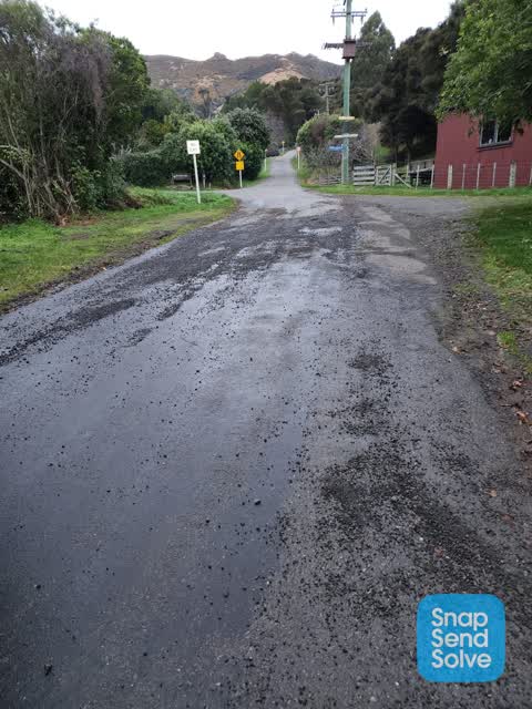
 Damaged Road, 24 May 2026
 Water hazard, third time to advise with No action, what will it take to get some to fix this, maybe a serious injury or even death such some
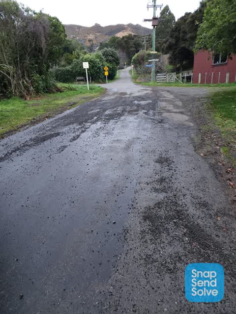
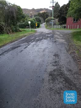 Roading/Streets, 17 Jul 2022
 Road is Dangerous and needs sweeping as gravel has washed down from the area sitting on the road in the wrong conditions someone will loose
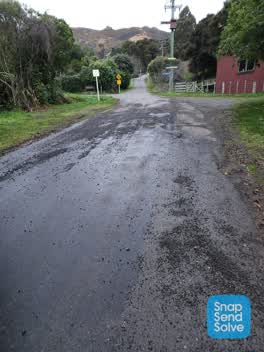 Roading/Streets, 17 Jul 2022
 Road is Dangerous and needs sweeping as gravel has washed down from the area sitting on the road in the wrong conditions someone will loose
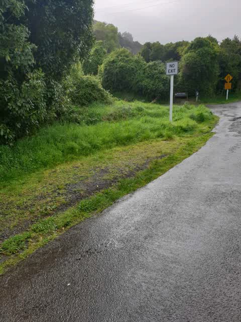
Roading/Streets, 12 Oct 2019
mower driver needs mowing lessons. has missed mowing corner making it dangerous for motorists turning out of purple peak rd due to limited v
Roading/Streets, 12 Oct 2019
mower driver needs a lesson in mowing he has missed mowing the corner making it dangerous to motorists exiting Purple peak rd as limited vis
Elsewhere on Stony Bay Road
- 41 Stony Bay Road, 1 report
The street’s crash record
NZTA’s record names Stony Bay Road in 2 crashes that hurt somebody since 2006, 0 seriously hurt, nobody killed.
The civic layer
This ground votes in Banks Peninsula ward, the Banks Peninsula community board is its local layer. Ward lines don’t always follow suburb lines; this one is measured at the pin, not the suburb’s centre. The whole roll is at /wards.
Stony Bay Road, the whole record → · Everything about Akaroa → · What stood on this ground → · On the map → · From the air, RetroLens holds the Crown’s aerials back to 1936; search the address there →
Questions, answered briefly
5 council reports on record since October 2019, most often roading/streets (4), damaged road (1).
Akaroa, Christchurch, on Stony Bay Road.
Nothing on the heritage register at this exact spot, the record around this ground →