111 Apsley Drive, Avonhead
12 reports on record since January 2020 · 8 with photographs. The street’s heaviest record is 16 Apsley Drive — 28 reports on file. Indicative rating valuation and school zones, hazards, bin day and what stood here before.
What gets reported here
- Roading/Streets — 5
- Overgrown Vegetation — 2
- Accessibility — 2
- Rubbish/Recycling — 1
- Hazard — vehicle — 1
- Flooding — 1
Photographed here 8 on record

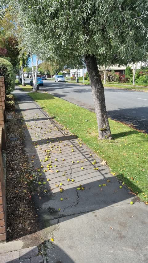
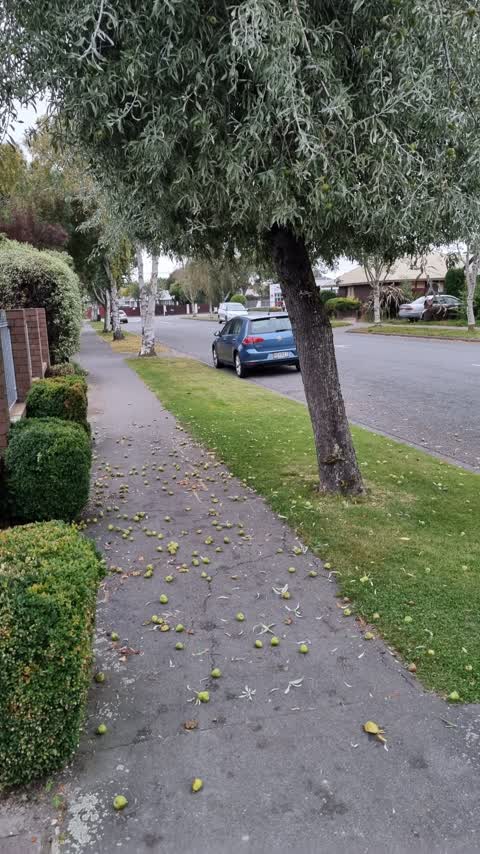
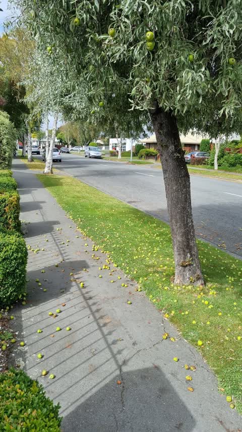
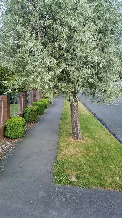
Reported here
 Overgrown Vegetation —
 Hi team and happy NY, I am trying to be proactive about the same recurring issue of the tree on our nature strip this year as I see it has
- Accessibility —
- Accessibility —
- Overgrown Vegetation —
- Hazard — vehicle —
 Roading/Streets —
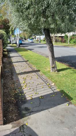
 Hello, The tree on the nature strip continues to drop fruits and continues to create a trip hazard for the many people walking the street (w
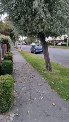 Roading/Streets —
 Thanks so much for sending someone out so fast yesterday to clear the fruits dropping from your tree. Just letting you know that this is th
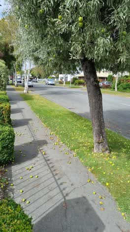 Roading/Streets —
 Tree on nature strip is dropping fruits and causing trip hazards. This is an issue at this time of year, every year and have had neighbours
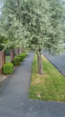 Roading/Streets —
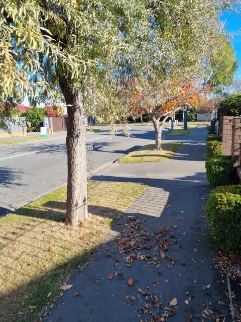
 Low hanging branches over footpath/berm. I want to cut these down, am I allowed? If I do not hear a response, I will fix the issue. As per r
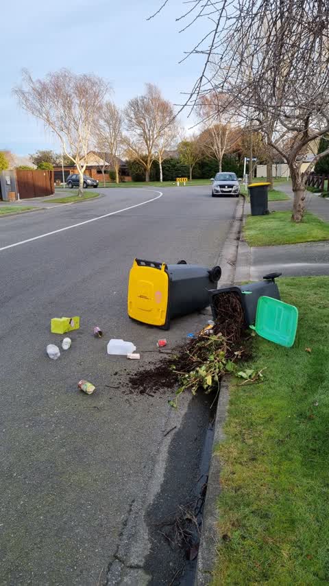
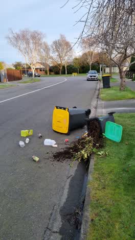 Rubbish/Recycling —
 Bins tipped over and green lid now broken. Have security footage of car pulling up to property and tipping over bin. Will report to 105
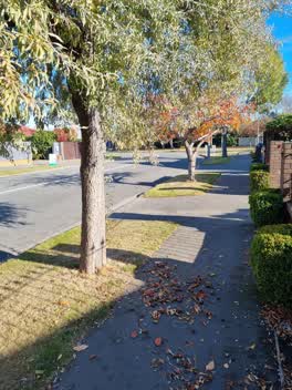 Roading/Streets —
 tree outside house dropping fruits and causing trip hazard. also hangs over footpath which I have trimmed and filled my green bin. have had
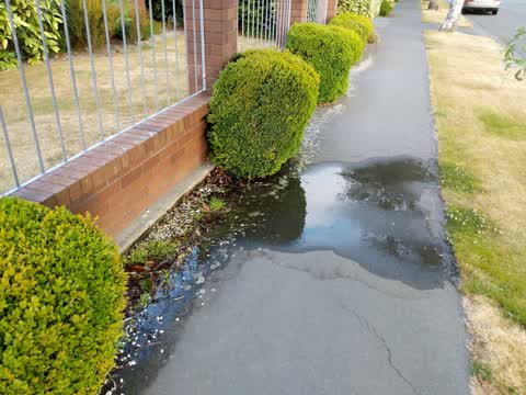
Flooding —
water main flooding over footpath on to nature strip outside of property boundary
Also reported on Apsley Drive
- 16 Apsley Drive — 28 reports
- 20 Apsley Drive — 10 reports
- 100 Apsley Drive — 6 reports
- 61 Apsley Drive — 4 reports
- 78 Apsley Drive — 3 reports
- 18 Apsley Drive — 3 reports
- 97 Apsley Drive — 2 reports
- 71F Apsley Drive — 2 reports
The street’s crash record
NZTA’s record names Apsley Drive in 4 crashes that hurt somebody since 2006 — 0 seriously hurt, nobody killed.
The green nearby
- Cricklewood Reserve — 178 m to the edge
- Apsley Landscape Reserve — 339 m to the edge
- Greendale Reserve — 363 m to the edge
- Hyde Park — 382 m to the edge
- Avonhead Park — 393 m to the edge · Sports ground · 23 ha
Parks within half a kilometre, measured to the boundary — the council’s open data.
The civic shelf nearby
- Avonhead Cemetery — 435 m away · Cemetery
Libraries, halls and the rest within half a kilometre — the council’s open data.
On the doorstep
- Avonhead Surgery — 116 m away · Doctors & clinics
- Avonhead Vets — 176 m away · Vets
- Caltex — 190 m away · Petrol stations
- Bakers Delight Avonhead — 273 m away · Business
Businesses within four hundred metres, measured at the pin — OpenStreetMap and the council directories.
The bus nearby
- Withells Rd near Apsley Dr — 105 m away · route 3, route 125
- Withells Rd near Apsley Dr — 123 m away · route 3, route 125
The closest Metro stops, within four hundred and fifty metres.
Renting nearby
new bonds in Avonhead ran about $596 a week — $46 above the city median of $550 — the suburb page keeps the rent record →.
The civic layer
This ground votes in Waimairi ward — the Fendalton-Waimairi-Harewood community board. Ward lines don’t always follow suburb lines; this one is measured at the pin, not the suburb’s centre.
What stood on this ground → · On the map → · From the air — the Crown’s aerials back to 1936; search the address on RetroLens →
Questions, answered briefly
12 council reports on record since January 2020 — most often roading/streets (5), overgrown vegetation (2), accessibility (2).
Avonhead, Christchurch — on Apsley Drive.
Nothing on the heritage register at this exact spot — the record around this ground →
Cricklewood Reserve — 178 m to its edge.