22A Woodbury Street, Avonhead
13 reports on record since December 2020 · 8 with photographs. The street’s heaviest record is 7 Woodbury Street — 50 reports on file. Indicative rating valuation and school zones, hazards, bin day and what stood here before.
What gets reported here
- Parks — 3
- Park - General Request — 2
- Graffiti — 2
- Dumped Rubbish — 2
- Water Leak — 1
- Water General — 1
Photographed here 8 on record


Reported here
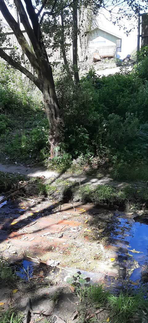
 Fallen Tree —
 Hanging branches, fallen limbs through Crosbie Park, especially along stream area.
 Park - General Request —
 Kia Ora Could the large broken branches from the creek area at Crosbie park be cleared away. One is blocking the track that is often used.
- Flooding —
- Dumped Rubbish —
- Water General —
- Dumped Rubbish —
- Park - General Request —
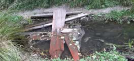 Parks —
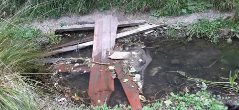
 Boards with nails protruding blocking river
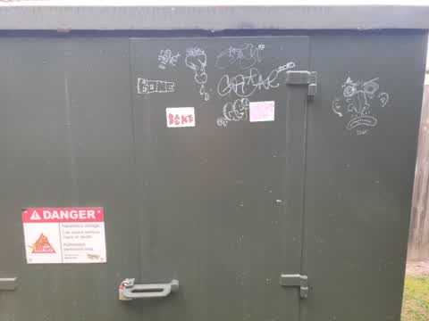
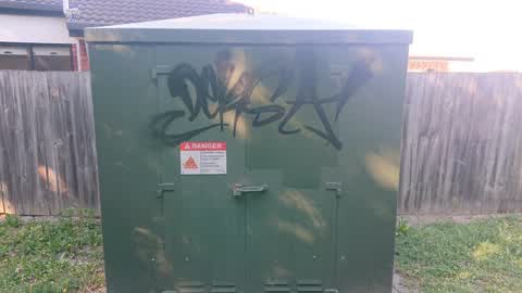
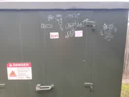 Graffiti —
 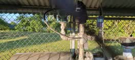 Water Leak —
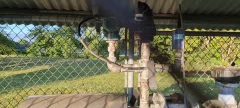
 Water leaking from well head
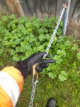 Parks —
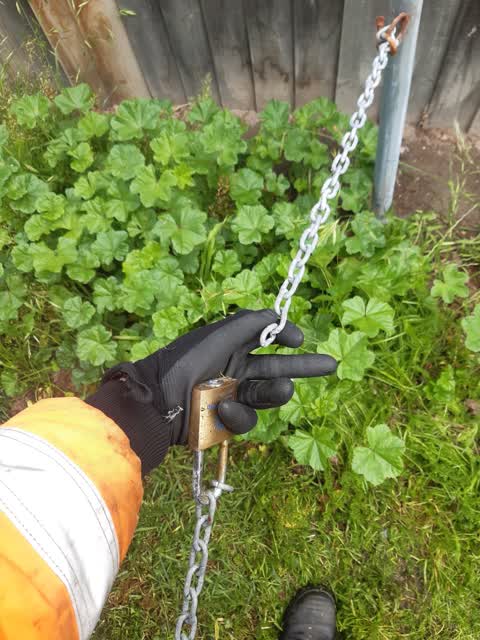
 Broken chain
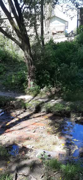 Parks —
 Fence from house that backs onto Crosbie Park is in the river. Has been there a while now
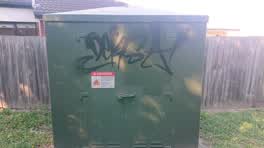 Graffiti —
Also reported on Woodbury Street
- 7 Woodbury Street — 50 reports
- 9–13 Woodbury Street — 6 reports
- 3 Woodbury Street — 6 reports
- 12 Woodbury Street — 6 reports
- 5 Woodbury Street — 4 reports
- 20A Woodbury Street — 4 reports
- 20 Woodbury Street — 4 reports
- 18A Woodbury Street — 4 reports
The street’s crash record
NZTA’s record names Woodbury Street in 6 crashes that hurt somebody since 2006 — 3 seriously hurt, nobody killed.
The green nearby
- Crosbie Park — you are in it · Sports ground · 7 ha
- Stewarts Bush — 277 m to the edge
- Apsley Landscape Reserve — 344 m to the edge
- Karnak Reserve — 432 m to the edge
- Calbreath Reserve — 436 m to the edge
Parks within half a kilometre, measured to the boundary — the council’s open data.
On the doorstep
- Riccarton Leagues Club — 185 m away · Clubs
Businesses within four hundred metres, measured at the pin — OpenStreetMap and the council directories.
The bus nearby
The closest Metro stops, within four hundred and fifty metres.
The named ground
Named water within 500 m of this address, measured to the line or the edge; the council’s own structure register — bridges, boardwalks and steps standing nearby — the open map’s record.
Renting nearby
new bonds in Avonhead ran about $596 a week — $46 above the city median of $550 — the suburb page keeps the rent record →.
The civic layer
This ground votes in Waimairi ward — the Fendalton-Waimairi-Harewood community board. Ward lines don’t always follow suburb lines; this one is measured at the pin, not the suburb’s centre.
What stood on this ground → · On the map → · From the air — the Crown’s aerials back to 1936; search the address on RetroLens →
Questions, answered briefly
13 council reports on record since December 2020 — most often parks (3), park - general request (2), graffiti (2).
Avonhead, Christchurch — on Woodbury Street.
Nothing on the heritage register at this exact spot — the record around this ground →
Crosbie Park — the address is inside it, 7 ha.