24 Bromley Road, Bromley
12 reports on record since March 2018 · 8 with photographs. The street’s heaviest record is 45 Bromley Road — 22 reports on file. Indicative rating valuation and school zones, hazards, bin day and what stood here before.
What gets reported here
- Roading/Streets — 3
- Water Supply — 2
- Damaged Street Sign — 2
- Water General — 1
- Pothole — 1
- Pavement - Damaged — 1
Photographed here 8 on record


Reported here
 Damaged Street Sign —
 Top bracket needs attention
 Damaged Street Sign —
  Facility - General Request —
 The locks on the chain over the corner access to cypress gardens park are broken.
- Pavement - Damaged —
Hazard for wheelchairs and mobility scooters
 Water General —
 - Pothole —
- Overgrown Vegetation —
- Roading/Streets —
Mitsubishi Diamanté bearing rear reg plate NRG918 abandoned at Raymond Road entrance to Ruru Lawn Cemetery. Smashed drivers window. Four whe
Water Supply —
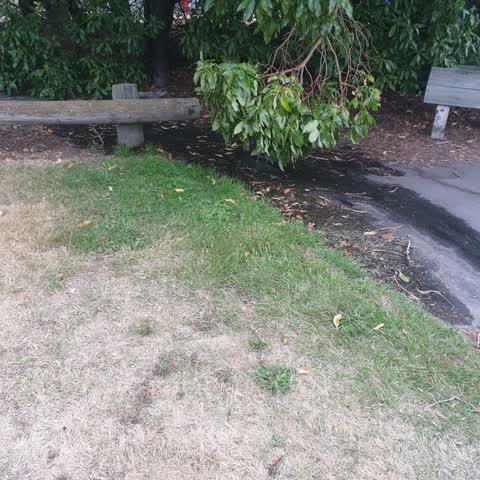
still not fixed. lots of bugs hanging around stagnant water now. photos taken after 2 very hot days
Water Supply —
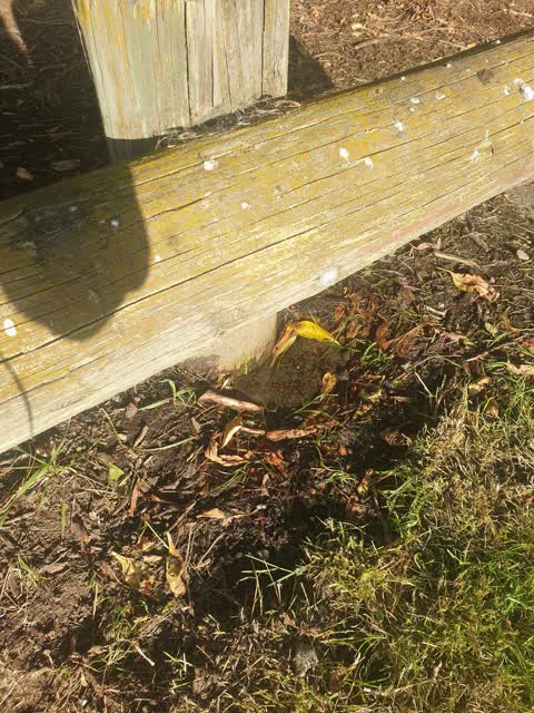
water leaking from ground. at times it can be quite a lot
Roading/Streets —
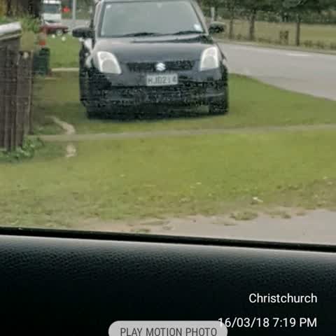
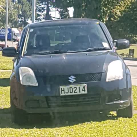
Car on berm again. Hjd214. Casey pomare or Harley seddon
Roading/Streets —
Car on berm constantly. Abusive neighbours. Blocks view out of Raymond road
Also reported on Bromley Road
- 45 Bromley Road — 22 reports
- 27 Bromley Road — 15 reports
- 16 Bromley Road — 12 reports
- 48 Bromley Road — 10 reports
- 58 Bromley Road — 6 reports
- 2 Bromley Road — 6 reports
- 50 Bromley Road — 5 reports
- 10 Bromley Road — 5 reports
The street’s crash record
NZTA’s record names Bromley Road in 8 crashes that hurt somebody since 2006 — 0 seriously hurt, nobody killed.
The green nearby
- Cypress Garden Reserve — 17 m to the edge · Sports ground · 4 ha
- Bromley Old School Reserve — 17 m to the edge · 2 ha
Parks within half a kilometre, measured to the boundary — the council’s open data.
The civic shelf nearby
- Bromley Cemetery — 197 m away · Cemetery
Libraries, halls and the rest within half a kilometre — the council’s open data.
On the doorstep
- Monthly Market Day — 134 m away · Markets
- Lock 'n' Leave — 205 m away · Storage
- Glenbyre Tavern — 290 m away · Bars & pubs
- Glenbyre Liquor Centre — 307 m away · Bottle stores
Businesses within four hundred metres, measured at the pin — OpenStreetMap and the council directories.
The bus nearby
- Bromley Rd near Raymond Rd — 106 m away · route 155
- Bromley Rd near Raymond Rd — 132 m away · route 155
The closest Metro stops, within four hundred and fifty metres.
The tracks through here
- Walk and bike track through Bromley — 457 m to the line · walk · bike
- Walk and bike track through Bromley — 457 m to the line · walk · bike
Tracks whose line passes within half a kilometre, measured to the line itself — the council’s open data.
The named ground
the council’s own structure register — bridges, boardwalks and steps standing nearby — the open map’s record.
Renting nearby
new bonds in Bromley ran about $560 a week — $10 above the city median of $550 — the suburb page keeps the rent record →.
The civic layer
This ground votes in Linwood ward — the Coastal-Burwood-Linwood community board. Ward lines don’t always follow suburb lines; this one is measured at the pin, not the suburb’s centre.
What stood on this ground → · On the map → · From the air — the Crown’s aerials back to 1936; search the address on RetroLens →
Questions, answered briefly
12 council reports on record since March 2018 — most often roading/streets (3), water supply (2), damaged street sign (2).
Bromley, Christchurch — on Bromley Road.
Nothing on the heritage register at this exact spot — the record around this ground →
Cypress Garden Reserve — 17 m to its edge, 4 ha.