27 Bromley Road, Bromley
15 reports on record since February 2020 · 11 with photographs. The street’s heaviest record is 45 Bromley Road — 22 reports on file. Indicative rating valuation and school zones, hazards, bin day and what stood here before.
What gets reported here
- Parks — 4
- Park - General Request — 3
- Graffiti — 2
- Water Supply — 1
- Sewer Odour — 1
- Poles and Signage - General — 1
Photographed here 11 on record


Reported here
 Poles and Signage - General —
 Street pole knock over by a car accident, currently lying in the gutter. Still has the sign attached
 Park - General Request —
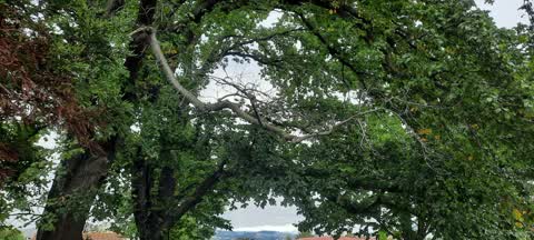
 Dangerous tree for kids has broken in 2
 Fallen Tree —
 Massive tree down at Bromley old school reserve next to playground, needs to be sorted by treetech
 Facility - General Request —
 Broken glass is scattered all through the dirt behind this seat in Bromley Old School Reserve. It is right next to a playground so it is lik
 Dumped Rubbish —
 Dumped rubbished in park and there is a event here on Saturday
- Park - General Request —
- Graffiti —
- Graffiti —
 Park - General Request —
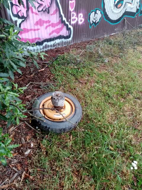
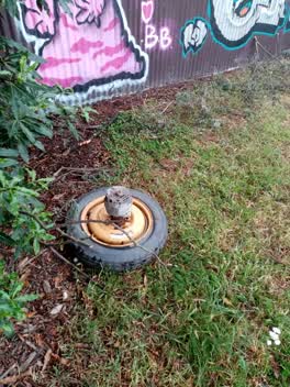
 Someone has tried to set fire to some metal
- Sewer Odour —
Just a random smell ether dump or poo ponds just now
 Parks —
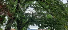
 Dead branch needs removing. Health and safety issue.
 Parks —
  Parks —
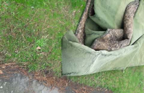
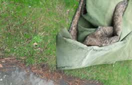
 Bromley Old School dumped carpet
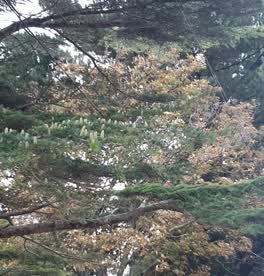 Parks —
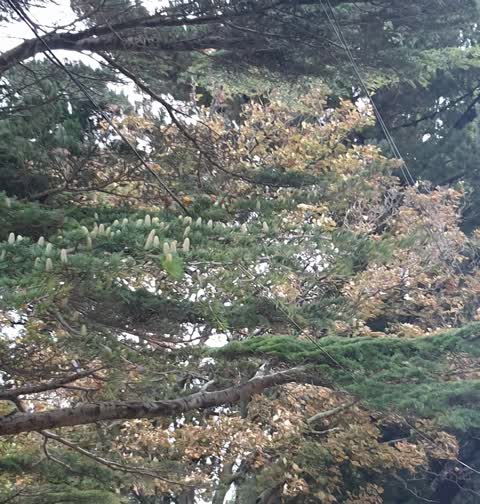
 power/telephone lines in tree
Water Supply —
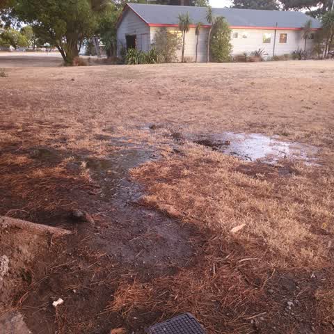
water supply busted under ground. lots happening in area. just fixed about 20m up the road. would suggest checking raupo and raymond road to
Also reported on Bromley Road
- 45 Bromley Road — 22 reports
- 24 Bromley Road — 12 reports
- 16 Bromley Road — 12 reports
- 48 Bromley Road — 10 reports
- 58 Bromley Road — 6 reports
- 2 Bromley Road — 6 reports
- 50 Bromley Road — 5 reports
- 10 Bromley Road — 5 reports
The street’s crash record
NZTA’s record names Bromley Road in 8 crashes that hurt somebody since 2006 — 0 seriously hurt, nobody killed.
The green nearby
- Bromley Old School Reserve — you are in it · 2 ha
- Cypress Garden Reserve — 57 m to the edge · Sports ground · 4 ha
Parks within half a kilometre, measured to the boundary — the council’s open data.
The civic shelf nearby
- Bromley Cemetery — 262 m away · Cemetery
Libraries, halls and the rest within half a kilometre — the council’s open data.
On the doorstep
- Monthly Market Day — 72 m away · Markets
- Lock 'n' Leave — 138 m away · Storage
- Glenbyre Tavern — 351 m away · Bars & pubs
- Glenbyre Liquor Centre — 368 m away · Bottle stores
Businesses within four hundred metres, measured at the pin — OpenStreetMap and the council directories.
The bus nearby
- Bromley Rd near Raymond Rd — 71 m away · route 155
- Bromley Rd near Raymond Rd — 90 m away · route 155
The closest Metro stops, within four hundred and fifty metres.
The named ground
the council’s own structure register — bridges, boardwalks and steps standing nearby — the open map’s record.
The remembered names nearby
- To the Memory — 244 m away ·
TO THE MEMORY OF (text unclear on bench edge)
· 2009
Inscribed plaques within two hundred and fifty metres — the register’s pins, not surveyed spots. The whole roll is at /plaques.
Renting nearby
new bonds in Bromley ran about $560 a week — $10 above the city median of $550 — the suburb page keeps the rent record →.
The civic layer
This ground votes in Linwood ward — the Coastal-Burwood-Linwood community board. Ward lines don’t always follow suburb lines; this one is measured at the pin, not the suburb’s centre.
What stood on this ground → · On the map → · From the air — the Crown’s aerials back to 1936; search the address on RetroLens →
Questions, answered briefly
15 council reports on record since February 2020 — most often parks (4), park - general request (3), graffiti (2).
Bromley, Christchurch — on Bromley Road.
Nothing on the heritage register at this exact spot — the record around this ground →
Bromley Old School Reserve — the address is inside it, 2 ha.