300 Dyers Road, Bromley
15 reports on record since September 2020 · 12 with photographs. The street’s heaviest record is 500 Dyers Road — 18 reports on file. Indicative rating valuation and school zones, hazards, bin day and what stood here before.
What gets reported here
- Roads - General — 3
- Roading/Streets — 2
- Dumped Rubbish — 2
- Street Light Outage — 1
- Sewer Odour — 1
- Pavement - General — 1
Photographed here 12 on record


Reported here
 Litter —
 Rubbish and litter by sides of road from CCC dump or traveller's to or from the dump. Area is untidy and eyesore. Native planting between se
- Facility - General Request —
The outer fence alongside inner fence. Lefthand side heading towards metro dump from the East. Been down for well over a year posts wire al
 Pavement - General —
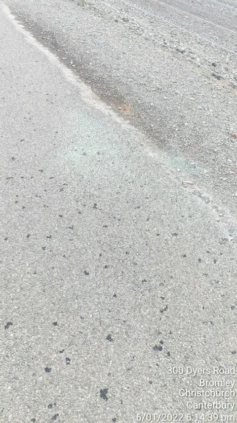
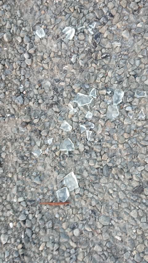
 Glass on cycle way
 Dumped Rubbish —
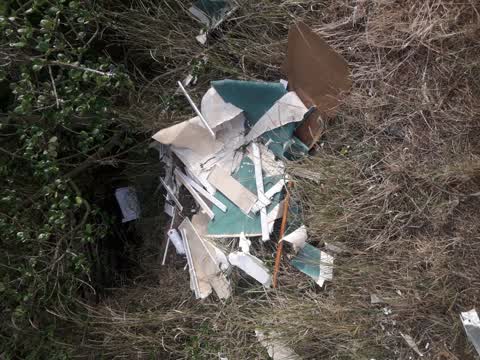
 Rubbish and damaged wire frnces
 Street Light Outage —
 Vapour lamp street light not working
 Abandoned Vehicle —
 Burned car on the cycle lane for two days
- Dumped Rubbish —
 Roads - General —
 Glass in bike lane
 Roads - General —
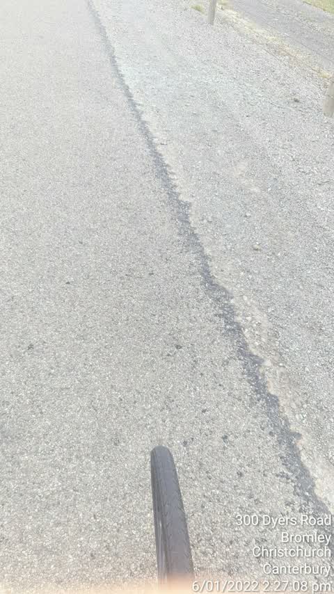
 Glass in bike lane
- Sewer Odour —
Foul stench
 Roading/Streets —
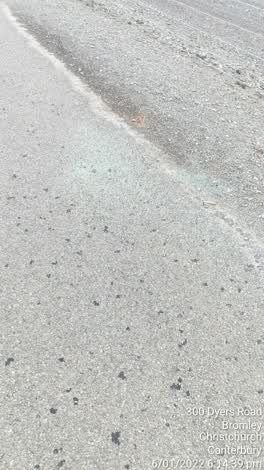
 Glass on bike lane, north bound lane
 Roading/Streets —
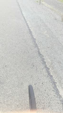
 Glass on bike lane shoulder
 Graffiti —
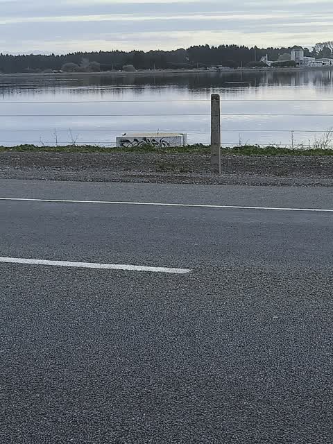
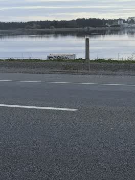
 On a concrete block inside the poo pond
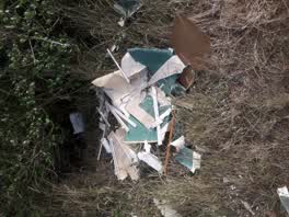 Parks —
 in south Brighton park
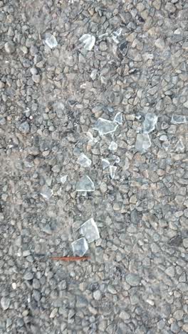 Roads - General —
 Glass for 20m heading south
Also reported on Dyers Road
- 500 Dyers Road — 18 reports
- 244 Dyers Road — 11 reports
- 194 Dyers Road — 11 reports
- 194F Dyers Road — 10 reports
- 254 Dyers Road — 9 reports
- 322–392 Dyers Road — 7 reports
- 247 Dyers Road — 7 reports
- 230 Dyers Road — 7 reports
The street’s crash record
NZTA’s record names Dyers Road in 18 crashes that hurt somebody since 2006 — 6 seriously hurt, nobody killed.
Renting nearby
new bonds in Bromley ran about $560 a week — $10 above the city median of $550 — the suburb page keeps the rent record →.
The civic layer
This ground votes in Linwood ward — the Coastal-Burwood-Linwood community board. Ward lines don’t always follow suburb lines; this one is measured at the pin, not the suburb’s centre.
What stood on this ground → · On the map → · From the air — the Crown’s aerials back to 1936; search the address on RetroLens →
Questions, answered briefly
15 council reports on record since September 2020 — most often roads - general (3), roading/streets (2), dumped rubbish (2).
Bromley, Christchurch — on Dyers Road.
Nothing on the heritage register at this exact spot — the record around this ground →