11 Blue Lagoon Drive, Brooklands
18 reports on record since August 2018 · 13 with photographs. The street’s heaviest record is 15 Blue Lagoon Drive — 77 reports on file. Indicative rating valuation and school zones, hazards, bin day and what stood here before.
What gets reported here
- Dumped Rubbish — 6
- Rubbish/Recycling — 3
- Roading/Streets — 2
- Parks — 2
- Park - General Request — 2
- Hazard — vehicle — 1
Photographed here 13 on record


Reported here
 Graffiti on a fence, building or structure —
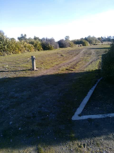
 Cut fences giving boy racers access to paddocks
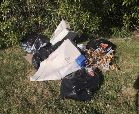
 Dumped Rubbish —
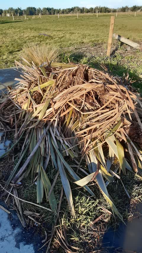
 dumped un delivered newspapers and pamphlets
 Dumped Rubbish —
  Park - General Request —
 fence cut open
 Dumped Rubbish —
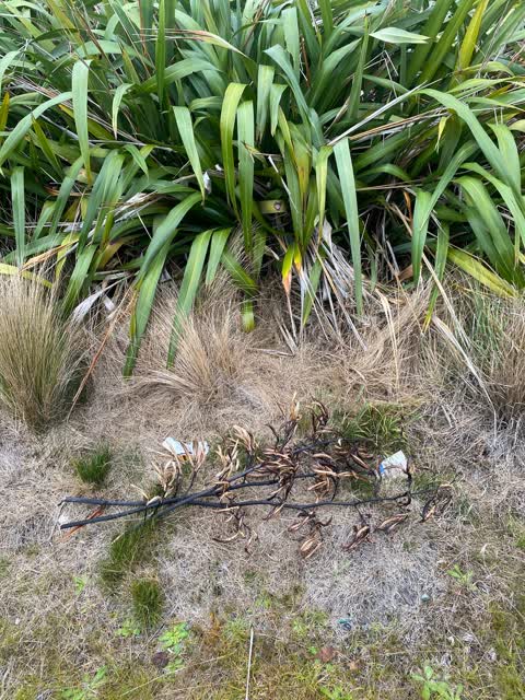
 Car parts and gen rubbish
- Dumped Rubbish —
- Hazard — vehicle —
- Dumped Rubbish —
- Facility - General Request —
- Park - General Request —
 Parks —
 Yellow jacket wasp nest
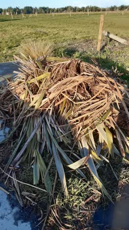 Rubbish/Recycling —
 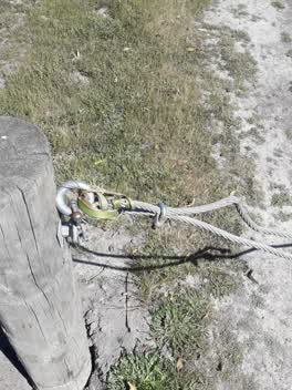 Parks —
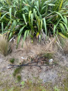
 padlock gone someone used flax to lock gate.
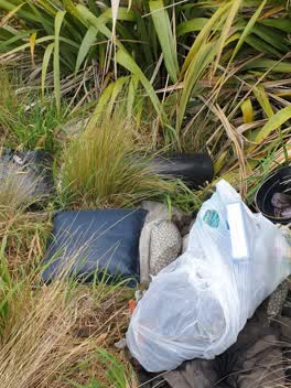 Dumped Rubbish —
 Roading/Streets —
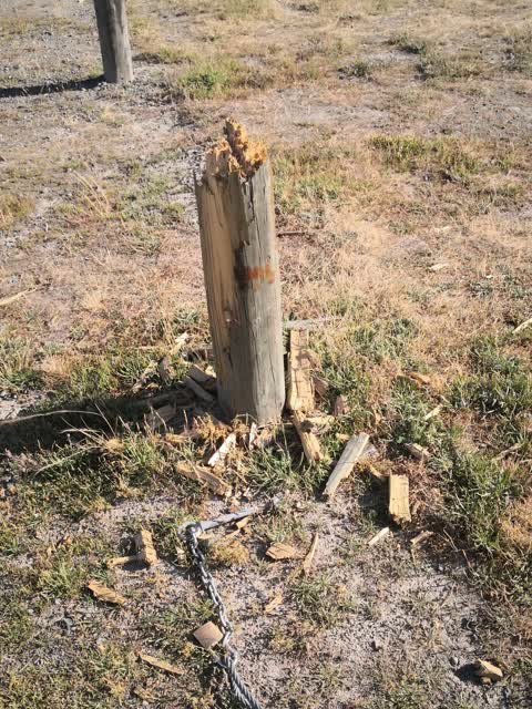
Barrier at this location has been rammed allowing vehicle access and burnouts on grass have been done
Rubbish/Recycling —
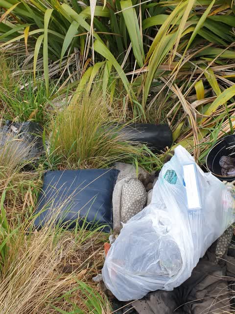
Rubbish Dumped right down the back near Vandalised Barrier. Traceability for offender MAY be the person named on these documents
Rubbish/Recycling —
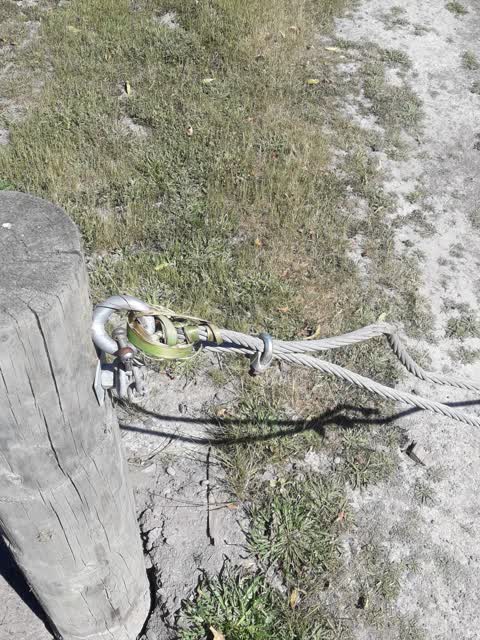
Barrier has been vandalised
Roading/Streets —
Burnt out car at entrance to Styx River mouth boat ramp.
Also reported on Blue Lagoon Drive
- 15 Blue Lagoon Drive — 77 reports
- 16 Blue Lagoon Drive — 32 reports
- 14 Blue Lagoon Drive — 6 reports
- 4 Blue Lagoon Drive — 5 reports
- 8 Blue Lagoon Drive — 3 reports
- 13 Blue Lagoon Drive — 2 reports
- 1 Blue Lagoon Drive — 2 reports
- 9 Blue Lagoon Drive — 1 report
The street’s crash record
NZTA’s record names Blue Lagoon Drive in 1 crash that hurt somebody since 2006 — 0 seriously hurt, nobody killed.
The green nearby
- Harbour Reserve — 331 m to the edge
- Styx River Mouth Conservation Reserve — 357 m to the edge · 10 ha
Parks within half a kilometre, measured to the boundary — the council’s open data.
The named ground
Named water within 500 m of this address, measured to the line or the edge; Named places within 1.5 km of this address; the council’s own structure register — bridges, boardwalks and steps standing nearby — the open map’s record.
The civic layer
This ground votes in Coastal ward — the Coastal-Burwood-Linwood community board. Ward lines don’t always follow suburb lines; this one is measured at the pin, not the suburb’s centre.
What stood on this ground → · On the map → · From the air — the Crown’s aerials back to 1936; search the address on RetroLens →
Questions, answered briefly
18 council reports on record since August 2018 — most often dumped rubbish (6), rubbish/recycling (3), roading/streets (2).
Brooklands, Christchurch — on Blue Lagoon Drive.
Nothing on the heritage register at this exact spot — the record around this ground →
Harbour Reserve — 331 m to its edge.