471 Kainga Road, Brooklands
15 reports on record since January 2017 · 12 with photographs. The most-reported address on Kainga Road. Indicative rating valuation and school zones, hazards, bin day and what stood here before.
What gets reported here
- Rubbish/Recycling — 4
- Dumped Rubbish — 4
- Graffiti — 2
- Fallen Tree — 2
- Roading/Streets — 1
- Parks — 1
Photographed here 12 on record




Reported here
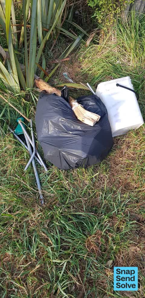
 Dumped Rubbish —
  Dumped Rubbish —
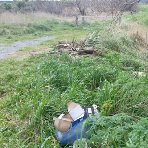
 Wait batters illegally camped by styx river Bridge all season. Whole river edge is now littered with rubbish and human waste all the way up
 Dumped Rubbish —
 Whitebaiters have left a horrible mess behind them at this spot ??
 Abandoned Vehicle —
 Remove before car is set on fire.
 Dumped Rubbish —
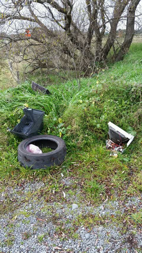
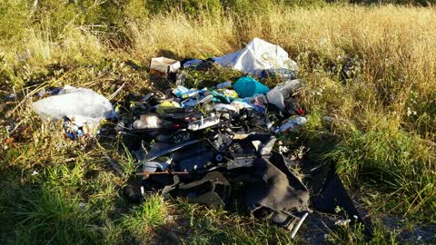
 Dupped rubbish
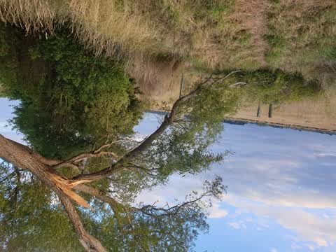
- Fallen Tree —
- Fallen Tree —
- Graffiti —
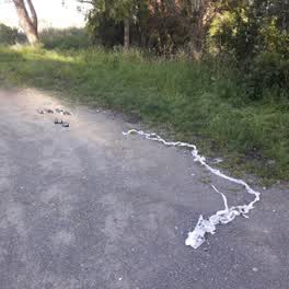 Roading/Streets —
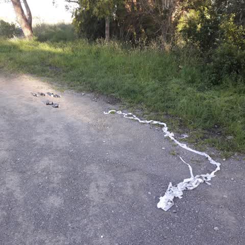
 Beer cans and crepe paper, both sides of road.
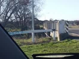 Graffiti —
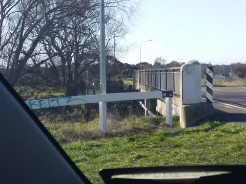
 kainga rd bridge On both ends of the bridge
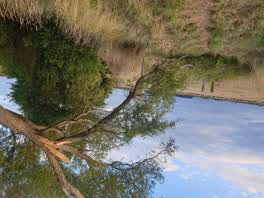 Parks —
 Rubbish/Recycling —
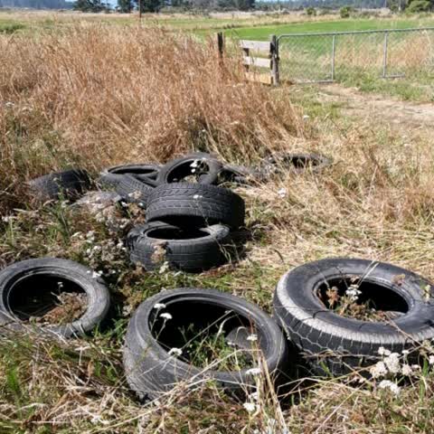
12 tyres dumped on river bank near road bridge
Rubbish/Recycling —
Rubbish/Recycling —
Rubbish/Recycling —
Also reported on Kainga Road
- 449 Kainga Road — 6 reports
- 351 Kainga Road — 5 reports
- 443 Kainga Road — 3 reports
- 423 Kainga Road — 3 reports
- 455 Kainga Road — 2 reports
- 453 Kainga Road — 2 reports
- 457 Kainga Road — 1 report
- 409F Kainga Road — 1 report
The green nearby
- Styx River Mouth Conservation Reserve — 36 m to the edge · 10 ha
- Lower Styx River Conservation Reserve — 57 m to the edge · Regional · 6 ha
- Kainga Road Reserve — 303 m to the edge · 3 ha
Parks within half a kilometre, measured to the boundary — the council’s open data.
The named ground
Named water within 500 m of this address, measured to the line or the edge — the open map’s record.
The civic layer
This ground votes in Coastal ward — the Coastal-Burwood-Linwood community board. Ward lines don’t always follow suburb lines; this one is measured at the pin, not the suburb’s centre.
What stood on this ground → · On the map → · From the air — the Crown’s aerials back to 1936; search the address on RetroLens →
Questions, answered briefly
15 council reports on record since January 2017 — most often rubbish/recycling (4), dumped rubbish (4), graffiti (2).
Brooklands, Christchurch — on Kainga Road.
Nothing on the heritage register at this exact spot — the record around this ground →
Styx River Mouth Conservation Reserve — 36 m to its edge, 10 ha.