19A Truman Road, Burnside
16 reports on record since January 2018 · 13 with photographs. The most-reported address on Truman Road. Indicative rating valuation and school zones, hazards, bin day and what stood here before.
What gets reported here
- Graffiti — 6
- Parks — 3
- Rubbish/Recycling — 1
- Pavement - General — 1
- Park - General Request — 1
- Overgrown Vegetation — 1
Photographed here 13 on record


Reported here
 Graffiti on a fence, building or structure —
 Grafitti
 Facility - General Request —
 Seat broken
 Pavement - General —
 The outflow stream from the pond at jellie park has a broken decking board on the bridge, may need urgent attention as potential for someon
 Graffiti on a playground or in a park —
 Jellie Park Sports Centre side of lake - graffiti on bridge railings and on wall of boundary of outside pool. Also a road cone thrown in the
 Graffiti —
 Has swear words and near JelliePark.
 Graffiti —
 black and blue graffiti on lamp post
- Graffiti —
- Overgrown Vegetation —
- Park - General Request —
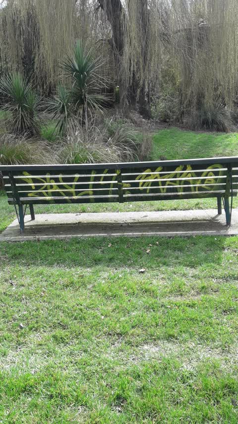
 Graffiti —
 Tagging on lamppost by footpath at the end of the lake, on rec centre side
 Graffiti —
 Tagging on post and sign for disc golf course in Jellie Park - by bridge at the lake
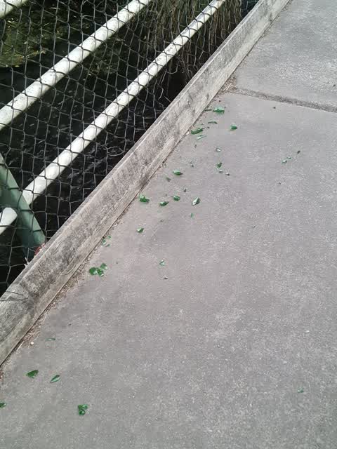
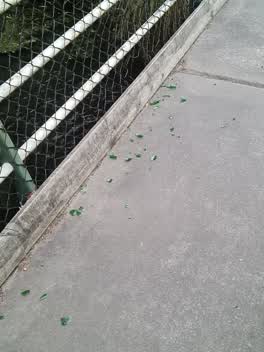 Rubbish/Recycling —
 Glass littered all over bridge. Hazard to people/bikes
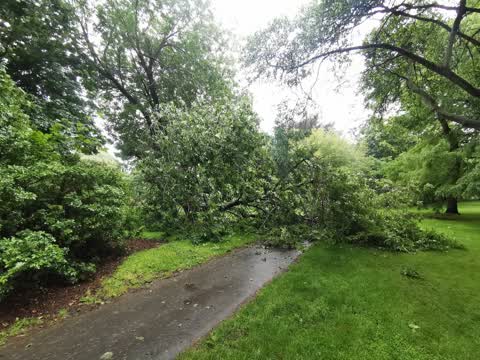
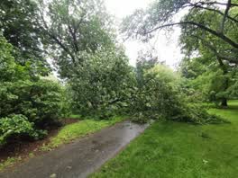 Parks —
 Fallen tree
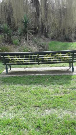 Graffiti —
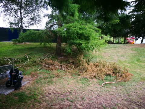
 Parks —
Fallen branches
Parks —
Tree branch fallen from tree and blocking path
Also reported on Truman Road
- 33A Truman Road — 14 reports
- 49 Truman Road — 10 reports
- 19 Truman Road — 7 reports
- 25 Truman Road — 6 reports
- 27 Truman Road — 4 reports
- 55 Truman Road — 3 reports
- 39 Truman Road — 3 reports
- 23A Truman Road — 2 reports
The green nearby
- Jellie Park — you are in it · Sports ground · 13 ha
- Morley Reserve — 325 m to the edge
Parks within half a kilometre, measured to the boundary — the council’s open data.
On the doorstep
- Jellie Park Recreation and Sport Centre — 133 m away · Sports centres
- Laura Fergusson Brain Injury Trust — 255 m away · Hospital
- Lower Courts — 358 m away · Sports centres
Businesses within four hundred metres, measured at the pin — OpenStreetMap and the council directories.
The bus nearby
- Burnside High School — 327 m away · the Orbiter (anticlockwise)
- Burnside High School — 335 m away · the Orbiter (clockwise)
The closest Metro stops, within four hundred and fifty metres.
The tracks through here
- Walk and bike track through Burnside — 3 m to the line · walk · bike
- Walk and bike track through Burnside — 9 m to the line · walk · bike
- Walk and bike track through Burnside — 140 m to the line · walk · bike
- Walk and bike track through Burnside — 158 m to the line · walk · bike
- Walk and bike track through Burnside — 202 m to the line · walk · bike
Tracks whose line passes within half a kilometre, measured to the line itself — the council’s open data.
The named ground
Named water within 500 m of this address, measured to the line or the edge; the council’s own structure register — bridges, boardwalks and steps standing nearby — the open map’s record.
The remembered names nearby
- Jellie Park plaque — 141 m away
Inscribed plaques within two hundred and fifty metres — the register’s pins, not surveyed spots. The whole roll is at /plaques.
Renting nearby
new bonds in Burnside ran about $641 a week — $91 above the city median of $550 — the suburb page keeps the rent record →.
The civic layer
This ground votes in Fendalton ward — the Fendalton-Waimairi-Harewood community board. Ward lines don’t always follow suburb lines; this one is measured at the pin, not the suburb’s centre.
What stood on this ground → · On the map → · From the air — the Crown’s aerials back to 1936; search the address on RetroLens →
Questions, answered briefly
16 council reports on record since January 2018 — most often graffiti (6), parks (3), rubbish/recycling (1).
Burnside, Christchurch — on Truman Road.
Nothing on the heritage register at this exact spot — the record around this ground →
Jellie Park — the address is inside it, 13 ha.