403 Withells Road, Burnside
11 reports on record since July 2019 · 8 with photographs. Indicative rating valuation and school zones, hazards, bin day and what stood here before.
What gets reported here
Photographed here 8 on record


Reported here
 Water Leak —
 8inch deep hole created by water leak
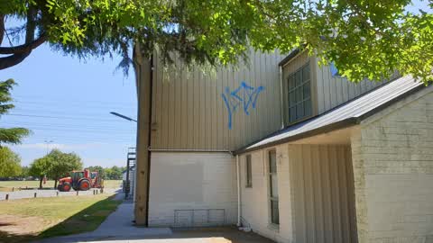
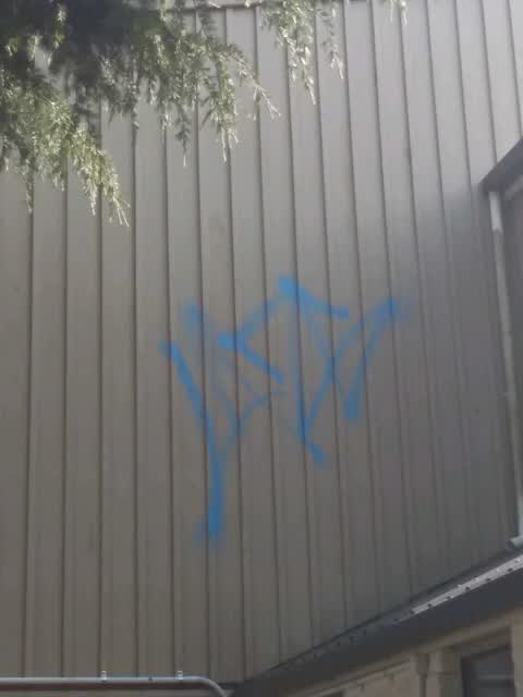
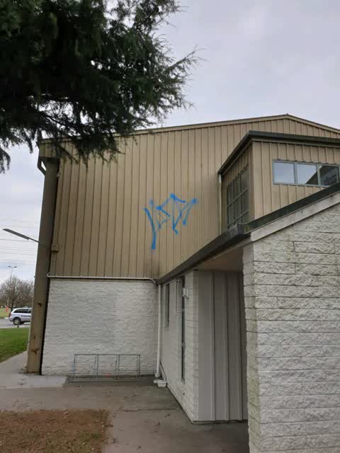
 Graffiti on a fence, building or structure —
 some graffiti on the side of the squash club in burnside park facing the fitness area
 Park - General Request —
 Hi there The Burnside Park entrance sign could do with a spruce up. As pictured… Thanks
- Pavement - General —
- Graffiti —
- Dumped Rubbish —
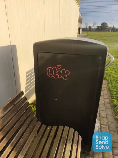
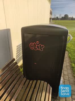 Graffiti —
 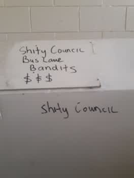 Graffiti —
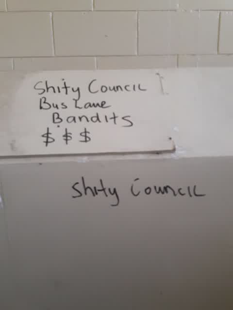
 Graffiti in public toilet
Graffiti —
Graffiti —
on the squash club
Graffiti —
The street it is on
The green nearby
- Burnside Park — you are in it · Sports ground · 29 ha
- Strathean Reserve — 340 m to the edge
- Coringa Reserve — 413 m to the edge
- Lavendula Reserve — 453 m to the edge
- Avice Hill Reserve — 492 m to the edge · Botanic
Parks within half a kilometre, measured to the boundary — the council’s open data.
On the doorstep
- Burnside Squash club — 12 m away · Sports centres
- Burnside Rugby Football Club — 47 m away · Sports centres
- Burnside Park Tennis Club — 363 m away · Clubs
- Burnside Squash Rackets Club — 363 m away · Clubs
Businesses within four hundred metres, measured at the pin — OpenStreetMap and the council directories.
The bus nearby
- Withells Rd near Avonhead Rd — 111 m away · route 3, route 125
- Withells Rd near Avonhead Rd — 120 m away · route 3, route 125
The closest Metro stops, within four hundred and fifty metres.
The tracks through here
- Walk and bike track through Burnside — 183 m to the line · walk · bike
- Walk and bike track through Burnside — 411 m to the line · walk · bike
- Walk and bike track through Burnside — 416 m to the line · walk · bike
Tracks whose line passes within half a kilometre, measured to the line itself — the council’s open data.
The named ground
Named water within 500 m of this address, measured to the line or the edge; the council’s own structure register — bridges, boardwalks and steps standing nearby — the open map’s record.
Renting nearby
new bonds in Burnside ran about $641 a week — $91 above the city median of $550 — the suburb page keeps the rent record →.
The civic layer
This ground votes in Waimairi ward — the Fendalton-Waimairi-Harewood community board. Ward lines don’t always follow suburb lines; this one is measured at the pin, not the suburb’s centre.
What stood on this ground → · On the map → · From the air — the Crown’s aerials back to 1936; search the address on RetroLens →
Questions, answered briefly
11 council reports on record since July 2019 — most often graffiti (6), water leak (1), pavement - general (1).
Burnside, Christchurch — on Withells Road.
Nothing on the heritage register at this exact spot — the record around this ground →
Burnside Park — the address is inside it, 29 ha.