442 Wairakei Road, Burnside
11 reports on record since November 2019 · 10 with photographs. The street’s heaviest record is 536 Wairakei Road — 24 reports on file. Indicative rating valuation and school zones, hazards, bin day and what stood here before.
What gets reported here
Photographed here 10 on record


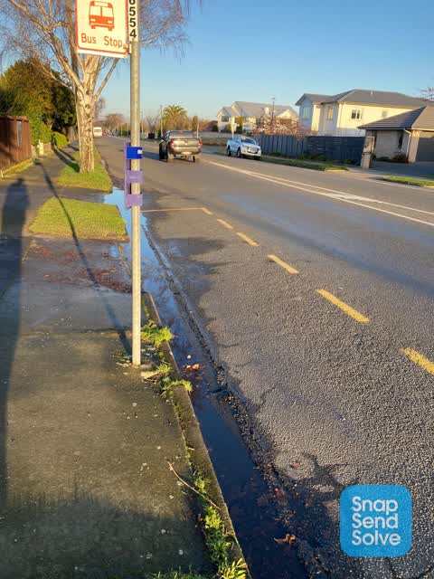

Reported here
 Roads - General —
 que for npd causing traffic disruption. so nwar misses here regularly here on thursday arvo when discount on
 Overgrown Vegetation —
 Shoots coming out from trunk of tree are blocking view for cars coming out of Breens Road
 Pavement - Damaged —
 This has been a problem now for 3 years 6 months and Never been fixed after many complaints. We are not accessing our driveway that floods c
 Pavement - Damaged —
 This has been a problem now for 3 treats 6 months and Never been fixed after many complaints. We are not accessing our driveway that floods
 Street Gutters / Storm Water —
 Hi still nothing been done ?? My partner happened to fall over when got out our car to open our driveway gate! This is a constant nuisance a
 Overgrown Vegetation —
 Tree blocking footpath
 Pavement - Damaged —
 Hi again Please look at our guttering it’s fall of water consistently
- Trees - General —
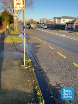 Water Leak —
 Water here for weeks. Not sure of exact source
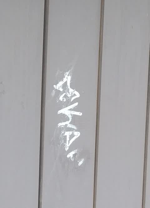
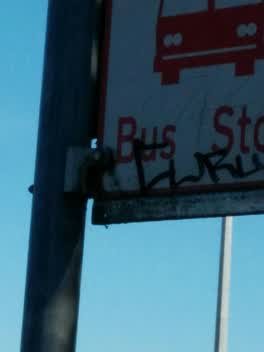 Graffiti —
 Graffiti —
Also reported on Wairakei Road
- 536 Wairakei Road — 24 reports
- 656 Wairakei Road — 22 reports
- 490 Wairakei Road — 13 reports
- 319 Wairakei Road — 8 reports
- 379 Wairakei Road — 7 reports
- 330 Wairakei Road — 7 reports
- 585E Wairakei Road — 6 reports
- 567 Wairakei Road — 5 reports
The street’s crash record
NZTA’s record names Wairakei Road in 89 crashes that hurt somebody since 2006 — 1 person killed, 25 seriously hurt.
The green nearby
- Nepal Reserve — 265 m to the edge · 4 ha
- Twyford Reserve — 311 m to the edge
- Wairakei Reserve — 345 m to the edge · 1 ha
- Grant Armstrong Park — 376 m to the edge · Sports ground · 3 ha
- Hockey Park — 436 m to the edge
Parks within half a kilometre, measured to the boundary — the council’s open data.
On the doorstep
- npd — 131 m away · Petrol stations
- Westpark Chapel — 195 m away · Funeral directors
Businesses within four hundred metres, measured at the pin — OpenStreetMap and the council directories.
The bus nearby
The closest Metro stops, within four hundred and fifty metres.
The tracks through here
- Walk and bike track through Burnside — 10 m to the line · walk · bike
- Walk and bike track through Burnside — 21 m to the line · walk · bike
- Walk and bike track through Burnside — 156 m to the line · walk · bike
- Walk and bike track through Burnside — 403 m to the line · walk · bike
Tracks whose line passes within half a kilometre, measured to the line itself — the council’s open data.
The named ground
the council’s own structure register — bridges, boardwalks and steps standing nearby — the open map’s record.
Renting nearby
new bonds in Burnside ran about $641 a week — $91 above the city median of $550 — the suburb page keeps the rent record →.
The civic layer
This ground votes in Harewood ward — the Fendalton-Waimairi-Harewood community board. Ward lines don’t always follow suburb lines; this one is measured at the pin, not the suburb’s centre.
What stood on this ground → · On the map → · From the air — the Crown’s aerials back to 1936; search the address on RetroLens →
Questions, answered briefly
11 council reports on record since November 2019 — most often pavement - damaged (3), overgrown vegetation (2), graffiti (2).
Burnside, Christchurch — on Wairakei Road.
Nothing on the heritage register at this exact spot — the record around this ground →
Nepal Reserve — 265 m to its edge, 4 ha.