93 Claridges Road, Casebrook
11 reports on record since December 2020 · 10 with photographs. The street’s heaviest record is 99 Claridges Road — 24 reports on file. Indicative rating valuation and school zones, hazards, bin day and what stood here before.
What gets reported here
- Water Leak — 5
- Pavement - Damaged — 1
- Parks — 1
- Park - General Request — 1
- Overgrown Vegetation — 1
- Litter — 1
Photographed here 10 on record


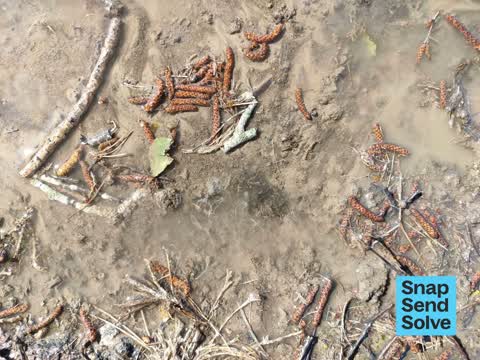
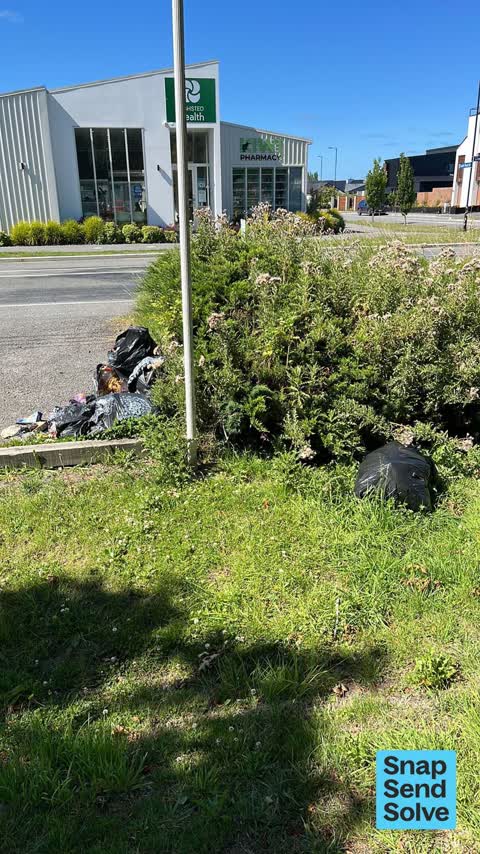
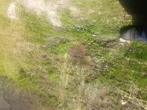
Reported here
 Overgrown Vegetation —
 the tree needs trimming away from the power lines
 Park - General Request —
 Metal Rope broken allowing the possibility of vehicular access to Tulett Park
 Dumped Rubbish —
 Pile of dumped tires.
 Water Leak —
 Leaking water pipe
 Water Leak —
 Water leak needs fixing urgently
 Water Leak —
 Water leak coming from tree root. Mains close by tree.
 Water Leak —
 Water leak need urgent attention
 Water Leak —
 Water bubbling out of the ground near tree at entrance to Nomad's soccer carpark
 Litter —
 Due to inactivity over last SSS I am submitting another as the rubbish is still there and beginning to spread as been there at least 1 week
- Pavement - Damaged —
 Parks —
 irrigation burst hose. leaking for awhile in tullet next to nomads carpark.
Also reported on Claridges Road
- 99 Claridges Road — 24 reports
- 65 Claridges Road — 7 reports
- 18 Claridges Road — 7 reports
- 92 Claridges Road — 6 reports
- 120 Claridges Road — 6 reports
- 3/118a Claridges Road — 5 reports
- 105 Claridges Road — 5 reports
- 101R Claridges Road — 5 reports
The street’s crash record
NZTA’s record names Claridges Road in 10 crashes that hurt somebody since 2006 — 3 seriously hurt, nobody killed.
The green nearby
- Tulett Park — you are in it · Sports ground · 8 ha
- Mendip Reserve — 467 m to the edge
Parks within half a kilometre, measured to the boundary — the council’s open data.
On the doorstep
- Casebrook Surgery — 45 m away · Doctors & clinics
- Etta Restaurant & Bar — 84 m away · Restaurants
- Nomads United Association Football Club — 261 m away · Clubs
Businesses within four hundred metres, measured at the pin — OpenStreetMap and the council directories.
The bus nearby
- Highsted Rd near Ludhiana St — 360 m away · route 27
- Highsted Rd near Ludhiana St — 374 m away · route 27
The closest Metro stops, within four hundred and fifty metres.
The named ground
the council’s own structure register — bridges, boardwalks and steps standing nearby — the open map’s record.
The remembered names nearby
- In Memory of Mary Lasorsa 10-10-28 — 6-5-97 — 81 m away ·
In Memory Of Mary Lasorsa 10-10-28 — 6-5-97
· 2008
Inscribed plaques within two hundred and fifty metres — the register’s pins, not surveyed spots. The whole roll is at /plaques.
Renting nearby
new bonds in Casebrook ran about $598 a week — $48 above the city median of $550 — the suburb page keeps the rent record →.
The civic layer
This ground votes in Harewood ward — the Fendalton-Waimairi-Harewood community board. Ward lines don’t always follow suburb lines; this one is measured at the pin, not the suburb’s centre.
What stood on this ground → · On the map → · From the air — the Crown’s aerials back to 1936; search the address on RetroLens →
Questions, answered briefly
11 council reports on record since December 2020 — most often water leak (5), pavement - damaged (1), parks (1).
Casebrook, Christchurch — on Claridges Road.
Nothing on the heritage register at this exact spot — the record around this ground →
Tulett Park — the address is inside it, 8 ha.