61A 61A
5 council reports since February 2018, 5 carrying a photograph.
On the register here
- Cashmere Hills Presbyterian Church and Setting, 2 MacMillan Avenue (93m)
- Dwelling and Setting, Whareora, 63 Dyers Pass Road (105m)
- Dwelling and Setting, 54 Dyers Pass Road (166m)
From the air, then
Sourced from Canterbury Maps and partners. RNZAF, CC BY 3.0 NZ. Each frame is cut from Environment Canterbury’s historic imagery MapServer for that decade, only where the Footprints layer names a CC BY survey (NZAM-covered spots stay out). RetroLens holds more Crown aerials →
The green nearby
- Cashmere Village Green, 53 m to the edge · playground, 1 pieces
- Purau Reserve, 261 m to the edge
- Cashmere Valley Reserve, 476 m to the edge · 2 ha · playground, 26 pieces
- Holliss Reserve, 484 m to the edge · 1 ha · playground, 62 pieces
Parks within half a kilometre, measured to the boundary, the council’s open data. The whole roll is at /parks.
On the doorstep
- NV Wines, 352 m away · Bottle stores
Businesses within four hundred metres, measured at the pin, OpenStreetMap and the council directories.
The named ground
Named places within 1.5 km of this address; the council’s own structure register, bridges, boardwalks and steps standing nearby, the open map’s record.
The remembered names nearby
- This Tree Commemorates the Establishment of the Guiding, 60 m away ·
THIS TREE COMMEMORATES THE ESTABLISHMENT OF THE GUIDING MOVEMENT IN CASHMERE HILLS MAY 192
· 2008 - Cashmere Garden Club in Commemoration of Their 60th, 64 m away ·
Cashmere Garden Club in commemoration of their 60th Anniversary 1940–2000
· 2008 - A Ngati Mamoe and Ngai Tahu Trail Once Crossed This Land, 115 m away ·
A Ngati Mamoe and Ngai Tahu trail once crossed this land on the way from Putaringamotu (Ri
· 2003
Inscribed plaques within two hundred and fifty metres, the register’s pins, not surveyed spots. The whole roll is at /plaques.
Renting nearby
new bonds in Cashmere ran about $707 a week, $157 above the city median of $550, the suburb page keeps the rent record →.
What gets reported here
Photographed here 5 on record
What’s on record
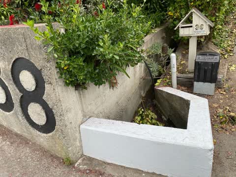
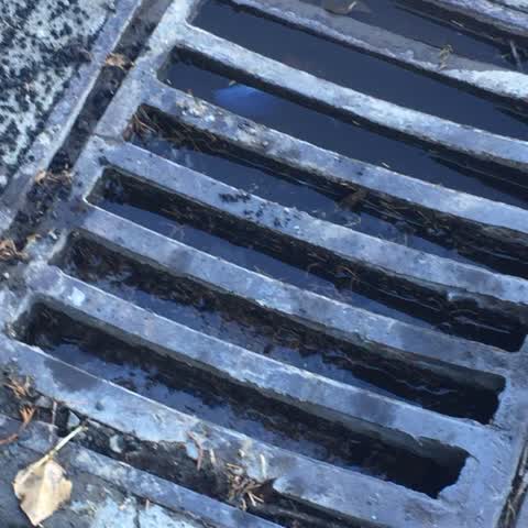
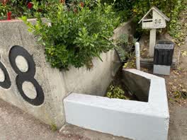 Wastewater/Stormwater, 12 Jan 2022
 There is a large volume of water coming down the stormwater drain and we’ve had no rain in days. This is causing water to pour down my drive
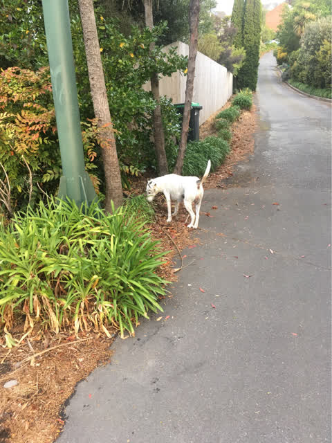
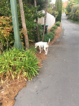 Animal - Domestic, 27 Oct 2020
 Dog out on the road again Second time
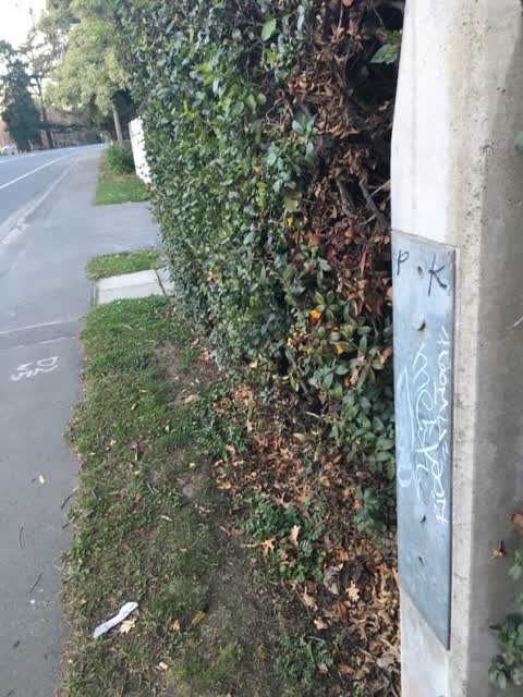
Graffiti, 22 Jun 2019
Black, white and light blue paint tags on metal plate on concrete lamp post by 61a Cashmere Road
Wastewater/Stormwater, 8 Dec 2018
This is a duplicate report. The original report was sent on Feb 05, 2018. Still a problem all drains need clearing as most are full to the
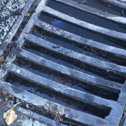
Wastewater/Stormwater, 5 Feb 2018
All the drains on Kidson Tce are blocked like this. It is causing water to leak on to my property when it rains instead of going down stormw
The civic layer
This ground votes in Cashmere ward, the Spreydon-Cashmere-Heathcote community board is its local layer. Ward lines don’t always follow suburb lines; this one is measured at the pin, not the suburb’s centre. The whole roll is at /wards.
Everything about Cashmere → · What stood on this ground → · On the map → · From the air, RetroLens holds the Crown’s aerials back to 1936; search the address there →
Questions, answered briefly
5 council reports on record since February 2018, most often wastewater/stormwater (3), graffiti (1), animal - domestic (1).
Cashmere, Christchurch, on A.
The heritage register names 3 places at or beside it, Cashmere Hills Presbyterian Church and Setting, Dwelling and Setting, Whareora.
Cashmere Village Green, 53 m to its edge.