48 Bayview Place
11 council reports since June 2015, 10 carrying a photograph. The street’s heaviest record is 50 Bayview Place, 67 reports on file.
From the air, then
Sourced from Canterbury Maps and partners. RNZAF, CC BY 3.0 NZ. Each frame is cut from Environment Canterbury’s historic imagery MapServer for that decade, only where the Footprints layer names a CC BY survey (NZAM-covered spots stay out). RetroLens holds more Crown aerials →
The green nearby
- Cass Bay Playground, you are in it · playground, 22 pieces
- Pony Point, 64 m to the edge · Regional · 7 ha
- Police Reserve, 164 m to the edge
- Cass Bay Walkway, 232 m to the edge
- Hmnzs Steadfast, 286 m to the edge · Regional · 23 ha
Parks within half a kilometre, measured to the boundary, the council’s open data. The whole roll is at /parks.
On the doorstep
- Lyttelton Kayaks, 50 m away · Attractions
Businesses within four hundred metres, measured at the pin, OpenStreetMap and the council directories.
The bus nearby
- Governors Bay Rd, 333 m away · route 8
- Governors Bay Rd near Mariners Cv, 355 m away · route 8
The closest Metro stops, within four hundred and fifty metres.
The named ground
Named places within 1.5 km of this address; the council’s own structure register, bridges, boardwalks and steps standing nearby, the open map’s record.
Renting nearby
new bonds in Cass Bay ran about $600 a week, $50 above the city median of $550, the suburb page keeps the rent record →.
What gets reported here
Photographed here 10 on record
What’s on record
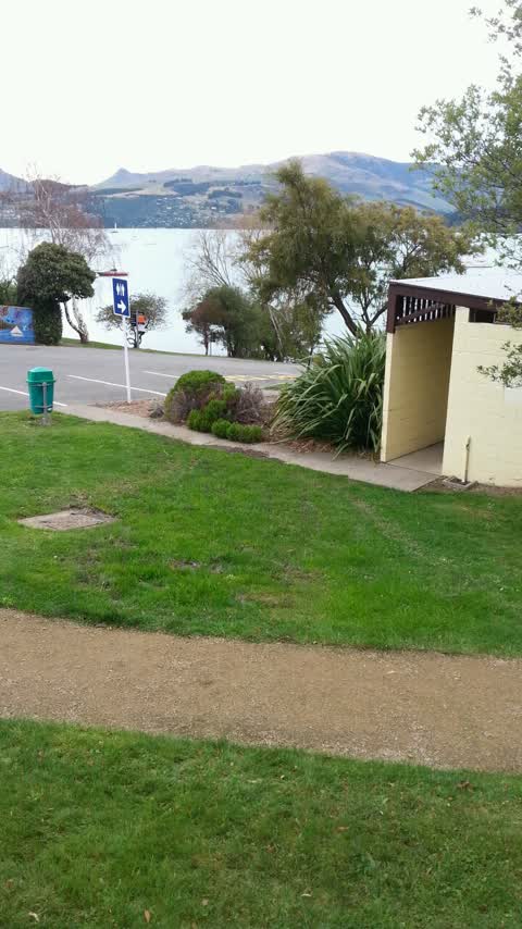
- Dumped Rubbish, 16 Mar 2023
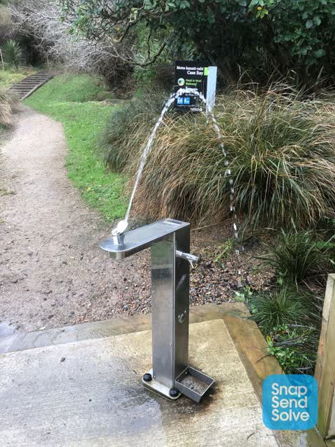
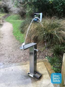 Water Leak, 17 Jul 2022
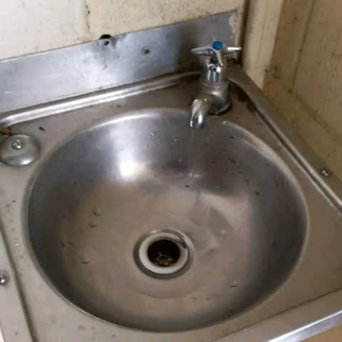
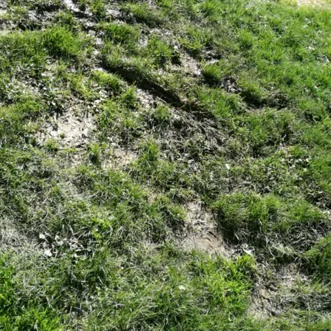
 The drinking fountain is a continuous fountain… most likely the water pressure is too high as well. Water is making a big muddy mess below.
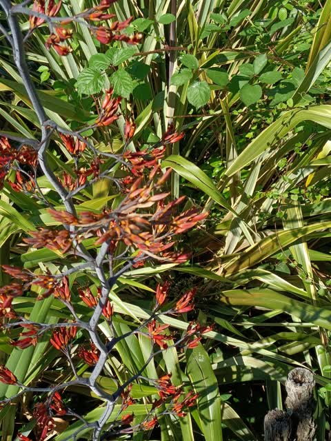
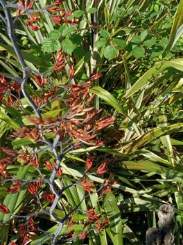 Parks, 22 Dec 2021
 Blackberry muehlenbeckia and convolvulus spreading through flex over into my property I want to get another photo
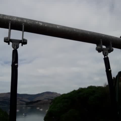
Parks, 7 May 2020
cass bay playground swing hangar sleeves worn
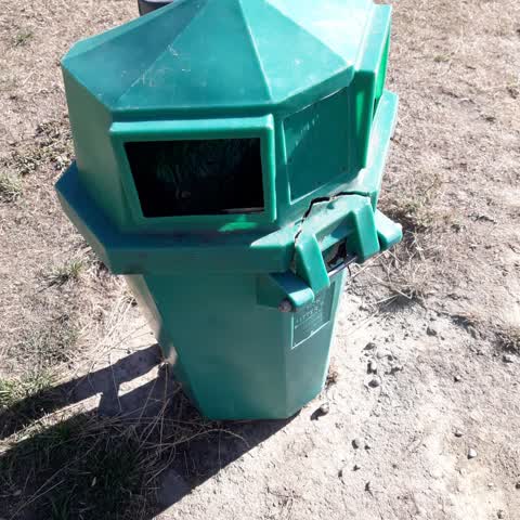
Rubbish/Recycling, 19 Mar 2020
bin lid hinge broken
Parks, 5 May 2019
The tap in the women's toilet next to the playground in case bay is stuck. It can't be turned off.
Water Supply, 9 Sept 2018
Leaking drain by cass bay toilet block
Parks, 9 Sept 2018
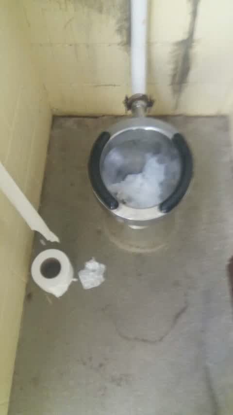
Blocked toilet (again)
Wastewater/Stormwater, 31 Jul 2018
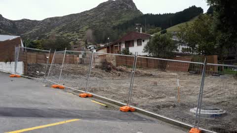
Building compliance issue. Not storm water. Building site has no sediment control and sediment runoff is visible heading down the roadside
Wastewater/Stormwater, 8 Jul 2018
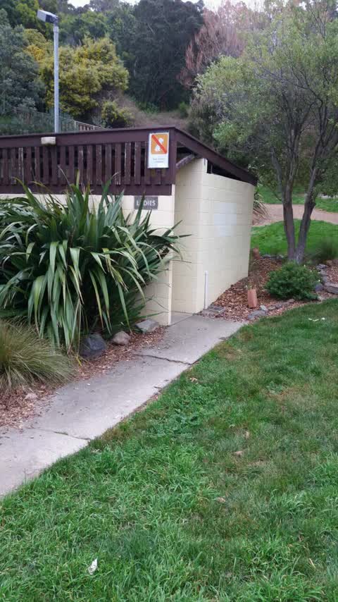
Blocked toilet in ladies toilet at Cass bay
Water Supply, 9 Jun 2015
Possible leak on WSPIPEID 175797 Cass Bay playground. Wet ground between toilet block and pathway. Has been wet for a long time.
Elsewhere on Bayview Place
- 50 Bayview Place, 67 reports
- 2 Bayview Place, 15 reports
- 5 Bayview Place, 5 reports
- 9 Bayview Place, 3 reports
- 36 Bayview Place, 3 reports
- 23 Bayview Place, 3 reports
- 14 Bayview Place, 3 reports
- 11 Bayview Place, 3 reports
The street’s crash record
NZTA’s record names Bayview Place in 2 crashes that hurt somebody since 2006, 1 seriously hurt, nobody killed.
The civic layer
This ground votes in Banks Peninsula ward, the Banks Peninsula community board is its local layer. Ward lines don’t always follow suburb lines; this one is measured at the pin, not the suburb’s centre. The whole roll is at /wards.
Bayview Place, the whole record → · Everything about Cass Bay → · What stood on this ground → · On the map → · From the air, RetroLens holds the Crown’s aerials back to 1936; search the address there →
Questions, answered briefly
11 council reports on record since June 2015, most often parks (4), water supply (2), wastewater/stormwater (2).
Cass Bay, Christchurch, on Bayview Place.
Nothing on the heritage register at this exact spot, the record around this ground →
Cass Bay Playground, the address is inside it.