1 Bealey Avenue, Christchurch Central City
15 reports on record since January 2022 · 10 with photographs. The street’s heaviest record is 201 Bealey Avenue — 27 reports on file. Indicative rating valuation and school zones, hazards, bin day and what stood here before.
What gets reported here
Photographed here 10 on record



Reported here
- General Request —
over the past two days someone has been removing the fixings for the bronze Carlton Mill bridge plaque. it's..I dunno..60cm x 50cm. substant
 Water General —
 cones in the Avon
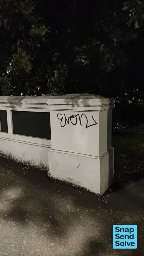
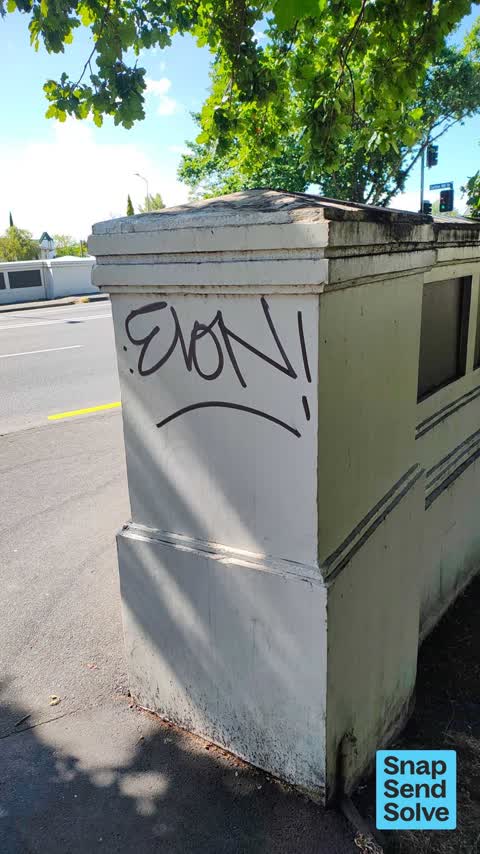
 Graffiti on a road, footpath or bridge —
  Graffiti on a road, footpath or bridge —
  Fallen Tree —
 High winds, branch near Bealey Ave bridge.
 Graffiti on a road, footpath or bridge —
 On footpath in Hagley Nth
 Graffiti on a sign, mural or public art —
 Permanent stickers on this sign
 Street Gutters / Storm Water —
 This area is well flooded with only moderate rain. I checked the surface grills are clear but little or no flow in. Likely either sump fully
 Overgrown Vegetation —
 Growth of tree occluding important information on sign regarding alcohol ban Area ? at the commencement of Harper Avenue
- Sediment - Construction —
A recently chipsealed surface is creating brown runoff, which is building up around sumps with the potential to enter the Avon River.
- Hazard — vehicle —
- Street Gutters / Storm Water —
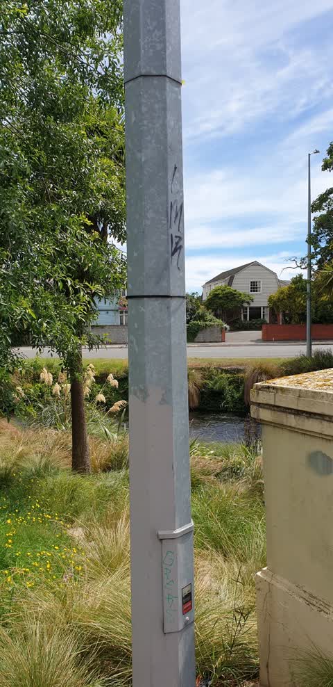
- Graffiti —
 Facility - General Request —
 Dangerous dead tree next to path. 1 more Silverback close by looking quite sick aswell
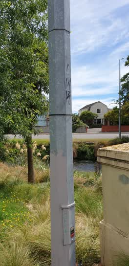 Graffiti —
 On lamppost by Carlton Mill bridge little Hagley Park side
Also reported on Bealey Avenue
- 201 Bealey Avenue — 27 reports
- 337 Bealey Avenue — 25 reports
- 98 Bealey Avenue — 24 reports
- 52 Bealey Avenue — 22 reports
- 302 Bealey Avenue — 22 reports
- 100 Bealey Avenue — 22 reports
- 112 Bealey Avenue — 19 reports
- 80 Bealey Avenue — 18 reports
The street’s crash record
NZTA’s record names Bealey Avenue in 260 crashes that hurt somebody since 2006 — 1 person killed, 32 seriously hurt.
The green nearby
- Hagley Park North — 7 m to the edge · Sports ground · 91 ha
- Little Hagley Park — 21 m to the edge · Botanic · 7 ha
- Carlton Mill Riverbank — 34 m to the edge
Parks within half a kilometre, measured to the boundary — the council’s open data.
On the doorstep
- Strawberry Fare — 98 m away · Restaurants
- Carlton Mill Lodge — 111 m away · Motels
- MLT Translation Centre — 121 m away · Translator
- Nairns — 125 m away · Watchmakers
Businesses within four hundred metres, measured at the pin — OpenStreetMap and the council directories.
The bus nearby
- Park Tce near Bealey Ave — 111 m away · route 8
- Carlton Mill Rd near Shrewsbury St — 144 m away · route 8
The closest Metro stops, within four hundred and fifty metres.
The tracks through here
- Walk and bike track through Christchurch Central City — 46 m to the line · walk · bike
- Walk and bike track through Christchurch Central City — 50 m to the line · walk · bike
- Walk and bike track through Christchurch Central City — 53 m to the line · walk · bike
- Walk and bike track through Christchurch Central City — 56 m to the line · walk · bike
- Walk and bike track through Christchurch Central City — 57 m to the line · walk · bike
Tracks whose line passes within half a kilometre, measured to the line itself — the council’s open data.
The named ground
Named water within 500 m of this address, measured to the line or the edge; Named places within 1.5 km of this address — the open map’s record.
The remembered names nearby
- Little Hagley Park plaque — 26 m away · 2009
- Little Hagley Park plaque — 32 m away · 1998
- Little Hagley Park plaque — 196 m away · 1998
Inscribed plaques within two hundred and fifty metres — the register’s pins, not surveyed spots. The whole roll is at /plaques.
Renting nearby
new bonds in Christchurch Central City ran about $508 a week — $42 below the city median of $550 — the suburb page keeps the rent record →.
What was here — Carlton Bridge
on this spot · located to ±26 m · the place’s own record →
On the register. Nothing researched here yet.
What was here — Dwellings and Setting, Maisonettes
166 m away · 12 Bealey Avenue · located to ±26 m · the place’s own record →
On the register. Nothing researched here yet.
What was here — Dwelling and Setting
178 m away · 122 Park Terrace · located to ±16 m · the place’s own record →
On the register. Nothing researched here yet.
What was here — Former Dwellings and Setting, Santa Barbara
233 m away · 169 Victoria Street · located to ±12 m · the place’s own record →
On the register. Nothing researched here yet.
What was here — Commercial Building and Setting
238 m away · 20 Papanui Road · located to ±20 m · the place’s own record →
On the register. Nothing researched here yet.
The civic layer
This ground votes in Central ward — the Papanui-Innes-Central community board. Ward lines don’t always follow suburb lines; this one is measured at the pin, not the suburb’s centre.
What stood on this ground → · On the map → · From the air — the Crown’s aerials back to 1936; search the address on RetroLens →
Questions, answered briefly
15 council reports on record since January 2022 — most often graffiti on a road, footpath or bridge (3), street gutters / storm water (2), graffiti (2).
Christchurch Central City, Christchurch — on Bealey Avenue.
The heritage register names 5 places at or beside it — Carlton Bridge, Dwellings and Setting, Maisonettes.
Hagley Park North — 7 m to its edge, 91 ha.