130 Madras Street, Christchurch Central City
27 reports on record since January 2016 · 23 with photographs. The street’s heaviest record is 153 Madras Street — 73 reports on file. Indicative rating valuation and school zones, hazards, bin day and what stood here before.
What gets reported here
Photographed here 23 on record



Reported here
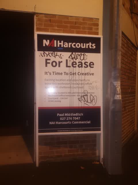
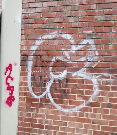
 Graffiti on a fence, building or structure —
graffiti on wall
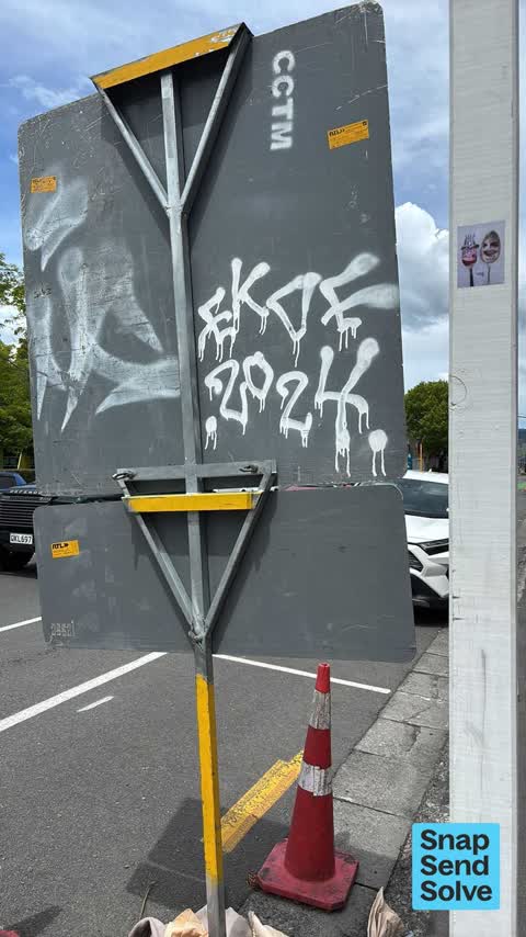
 Graffiti on a sign, mural or public art —
White paint tags on reverse side of road sign by 145 Madras Street.
 Graffiti somewhere else —
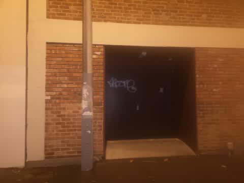
 Graffiti on a fence, building or structure —
White and purple paint tags facing the footpath in door recess on Madras Street a tad south of Allen Street.
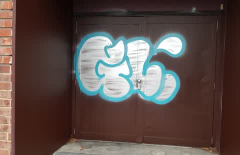
 Graffiti —
Also roller door of asain cafe
- Graffiti —
- Graffiti —
- Graffiti —
- Graffiti —
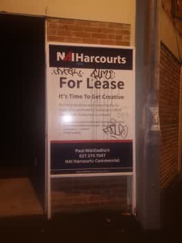 Graffiti —
Corner building
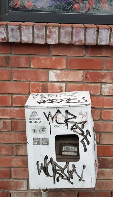
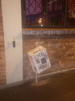 Graffiti —
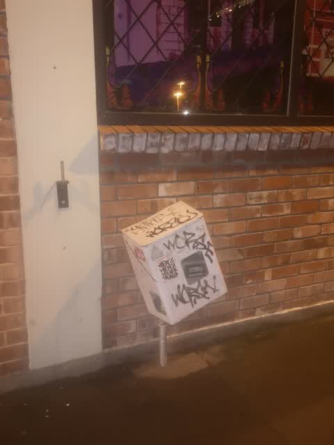
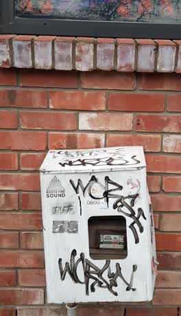
Box attached to corner building on Allen Street
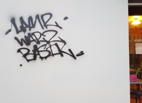
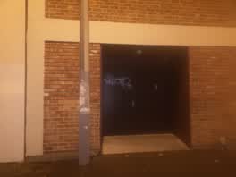 Graffiti —
Beside city cafe asain cuisine on the right hand side
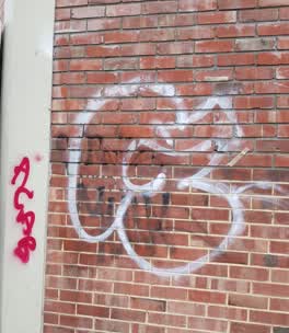 Graffiti —
At the corner Allen Street, in front of Ara institute of, Christchurch city.
 Graffiti —
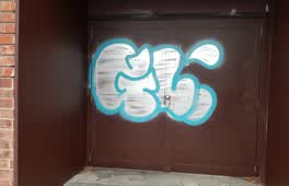
At Madras Street, in front of Ara institute of Canterbury, Christchurch city.
 Graffiti —
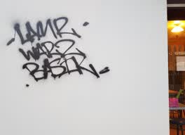
At Madras Street, Next to city cafe Asian Cuisine building. Christchurch city.
 Graffiti —
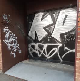
Madras Street, next to City Cafe Asian Cuisine building. In front of Ara institute of Canterbury.
 Graffiti —
Madras Street, Christchurch city. In front of Ara institute of Canterbury.
Graffiti —
Roading/Streets —
cars parked illegally on Coventry/Williams corner, outside Ara Institute
Parks —
Honda Fit with number plate KBA651 parked awfully next to my car. During study they have opened the door and hit my car and chipped the two
Roading/Streets —
Lots of illegal car parking on Coventry Street
Roading/Streets —
Lots of illegal car parking on Coventry Street
Roading/Streets —
Cars parked on yellow lines
Roading/Streets —
Parking on yellow lines. 3 cars
Roading/Streets —
Illegal parking Coventry/Williams
Roading/Streets —
Sign facing wrong way
Graffiti —
Power role
Also reported on Madras Street
- 153 Madras Street — 73 reports
- 169 Madras Street — 50 reports
- 145 Madras Street — 49 reports
- 282 Madras Street — 37 reports
- 160 Madras Street — 35 reports
- 163 Madras Street — 32 reports
- 281 Madras Street — 29 reports
- 167 Madras Street — 28 reports
The street’s crash record
NZTA’s record names Madras Street in 161 crashes that hurt somebody since 2006 — 17 seriously hurt, nobody killed.
The green nearby
- Wilson Park — 139 m to the edge
- Gasson Reserve — 231 m to the edge
- Washington Way Reserve — 265 m to the edge · Sports ground
- Science Alive Reserve — 295 m to the edge
- Excelsior Hotel Reserve — 452 m to the edge · Botanic
Parks within half a kilometre, measured to the boundary — the council’s open data.
The civic shelf nearby
- St Asaph — 223 m away · Car park
Libraries, halls and the rest within half a kilometre — the council’s open data.
On the doorstep
- Visions On Campus Restaurant — 37 m away · Restaurants
- City Cafe — 46 m away · Restaurants
- Leo's Cafe — 48 m away · Cafés
- Perry's Cafe — 51 m away · Cafés
Businesses within four hundred metres, measured at the pin — OpenStreetMap and the council directories.
The bus nearby
- Madras St Terminus — 80 m away · route 8, route 84, route 85
- Madras St near Southwark St — 127 m away · route 8, route 84, route 85, route 95
The closest Metro stops, within four hundred and fifty metres.
The tracks through here
- Walk and bike track through Christchurch Central City — 182 m to the line · walk · bike
- Walk and bike track through Christchurch Central City — 191 m to the line · walk · bike
- Walk and bike track through Christchurch Central City — 206 m to the line · walk · bike
- Walk and bike track through Christchurch Central City — 206 m to the line · walk · bike
- Walk and bike track through Christchurch Central City — 275 m to the line · walk · bike
Tracks whose line passes within half a kilometre, measured to the line itself — the council’s open data.
The named ground
Named places within 1.5 km of this address; the council’s own structure register — bridges, boardwalks and steps standing nearby — the open map’s record.
Renting nearby
new bonds in Christchurch Central City ran about $508 a week — $42 below the city median of $550 — the suburb page keeps the rent record →.
What was here — Former Grosvenor Hotel and Setting
177 m away · 367 Moorhouse Avenue · located to ±15 m · the place’s own record →
On the register. Nothing researched here yet.
What was here — 129 High Street
217 m away · 1/129 High Street · located to ±17 m · the place’s own record →
On the register. Nothing researched here yet.
The civic layer
This ground votes in Central ward — the Papanui-Innes-Central community board. Ward lines don’t always follow suburb lines; this one is measured at the pin, not the suburb’s centre.
What stood on this ground → · On the map → · From the air — the Crown’s aerials back to 1936; search the address on RetroLens →
Questions, answered briefly
27 council reports on record since January 2016 — most often graffiti (15), roading/streets (7), graffiti on a fence, building or structure (2).
Christchurch Central City, Christchurch — on Madras Street.
The heritage register names 2 places at or beside it — Former Grosvenor Hotel and Setting, 129 High Street.
Wilson Park — 139 m to its edge.