291F 291F, Christchurch Central City
12 reports on record since November 2019 · 12 with photographs. Indicative rating valuation and school zones, hazards, bin day and what stood here before.
What gets reported here
- Graffiti — 7
- Roading/Streets — 4
- Rubbish/Recycling — 1
Photographed here 12 on record

Reported here
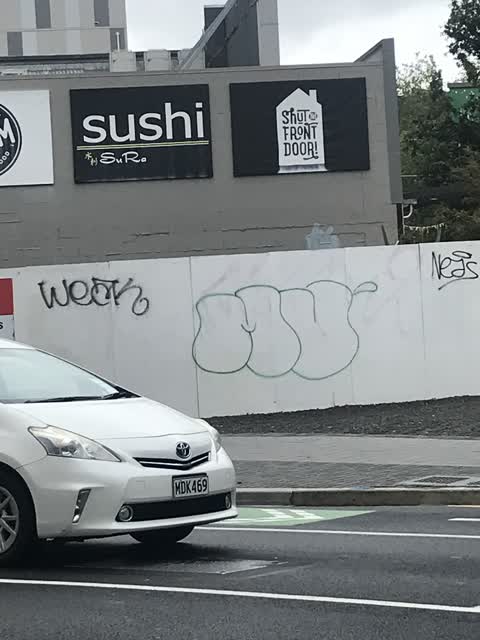
 Graffiti —
 Graffiti —
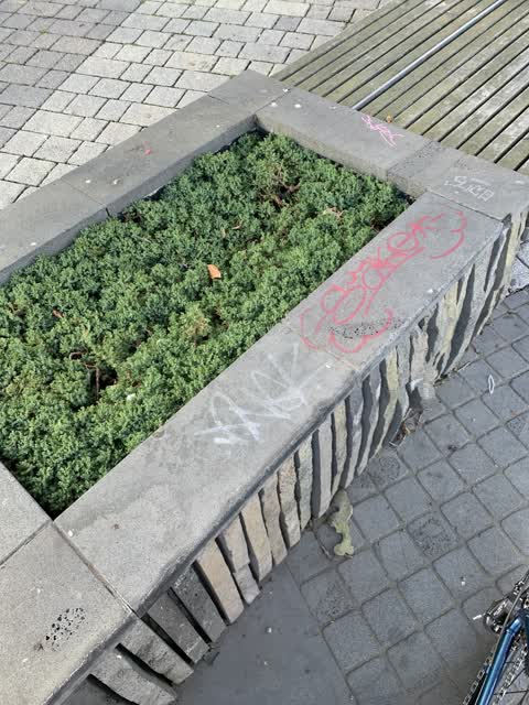
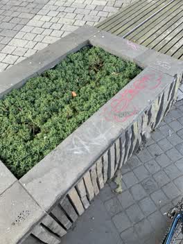
Graffiti around planter box
 Roading/Streets —
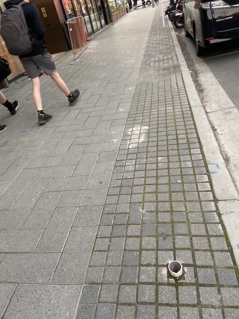
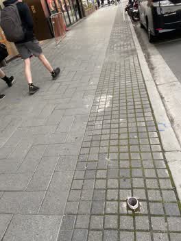
Old pole needs to be sawn off at ground level on the footpath on Colombo Street by At The Square. OHS issue for pedestrians safety at presen
 Graffiti —
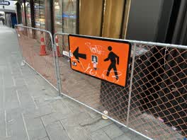
Black and white paint tags on sign by 703 Colombo Street, facing the footpath.
 Graffiti —
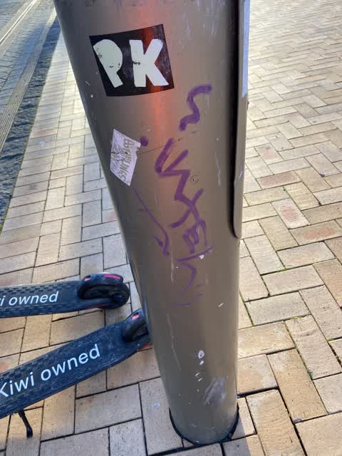
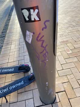
Tramlines pole (no discernible ID) near the corner of Colombo and High Streets has several paint tags (plus sticky tags galore). Near Shut T
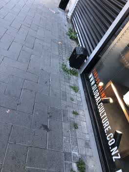 Roading/Streets —
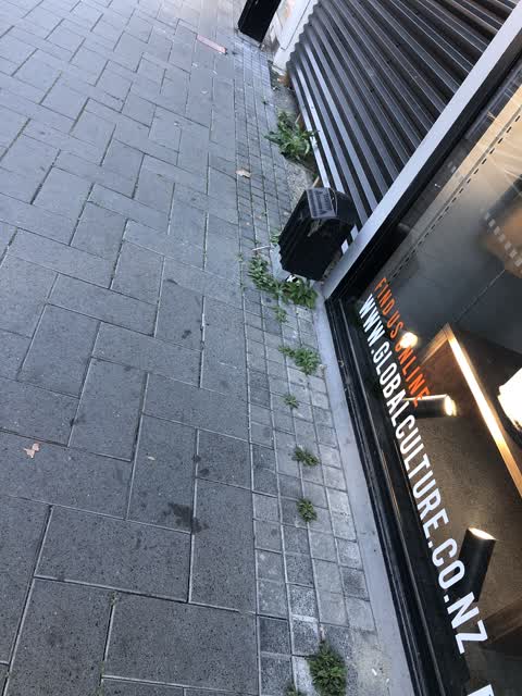
Weeds need to be sprayed
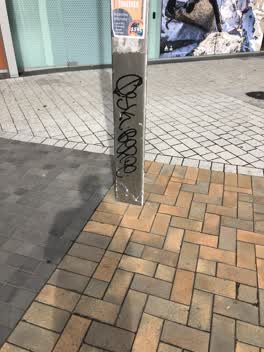 Graffiti —
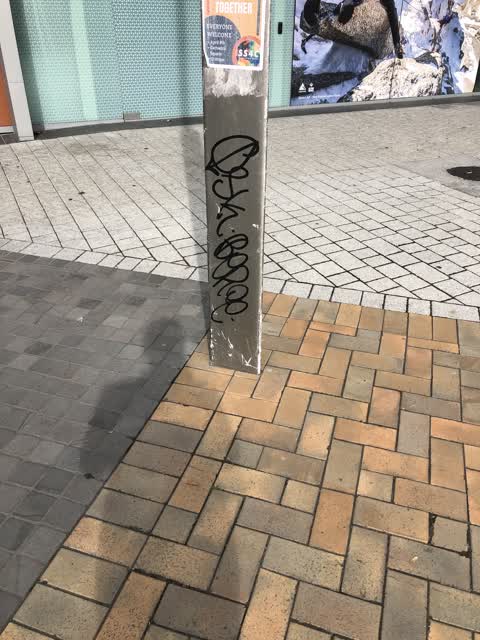
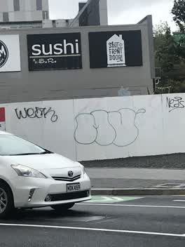
Graffiti on pole
Graffiti —
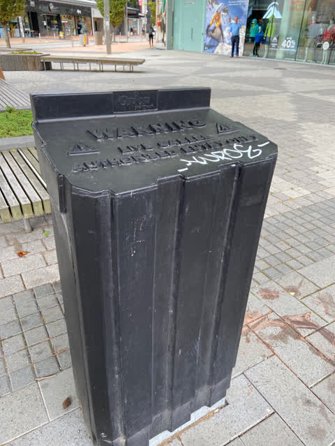
KUDOS black paint tag on large Orion utility box by corner of High and Colombo Streets
Graffiti —
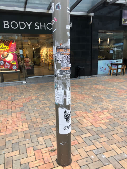
It’s not Grafitti but the posters placed on poles look really bad requires cleaning but not just on the one in the photo but all around city
Rubbish/Recycling —
Abandoned warehouse trolly
Roading/Streets —
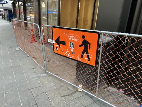
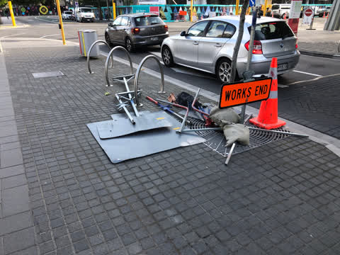
Signage a trip hazard needs to be removed - has been there for three days
Roading/Streets —
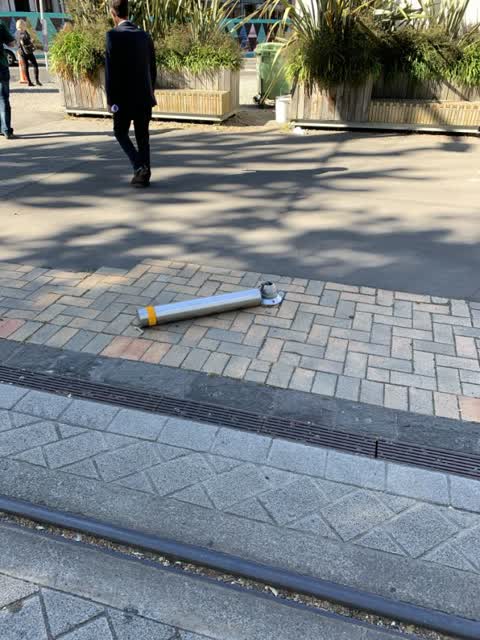
This poor bollard had a very bad day.
The street it is on
The green nearby
- The Stewart Plaza — you are in it
- City Mall — 10 m to the edge
- High Street Triangles — 79 m to the edge
- Cathedral Square — 105 m to the edge · Botanic
- Godley Statue Reserve — 151 m to the edge · Botanic
Parks within half a kilometre, measured to the boundary — the council’s open data.
The civic shelf nearby
- Triangle — 58 m away · Car park
- Turanga Library — 244 m away · Library · Cathedral Square, Christchurch
- Re:start - Lichfield St — 289 m away · Car park
- Civic Offices — 418 m away · Council office
- Scales — 493 m away · Car park
Libraries, halls and the rest within half a kilometre — the council’s open data.
On the doorstep
- Macpac — 24 m away · Outdoor gear
- The North Face — 27 m away · Clothing
- KFC — 30 m away · Fast food
- Shut The Front Door — 32 m away · Gift shops
Businesses within four hundred metres, measured at the pin — OpenStreetMap and the council directories.
The bus nearby
The closest Metro stops, within four hundred and fifty metres.
The tracks through here
- Walk and bike track through Christchurch Central City — 199 m to the line · walk · bike
- Walk and bike track through Christchurch Central City — 227 m to the line · walk · bike
- Walk and bike track through Christchurch Central City — 239 m to the line · walk · bike
- Walk and bike track through Christchurch Central City — 239 m to the line · walk · bike
- Walk and bike track through Christchurch Central City — 256 m to the line · walk · bike
Tracks whose line passes within half a kilometre, measured to the line itself — the council’s open data.
The named ground
Named water within 500 m of this address, measured to the line or the edge; Named places within 1.5 km of this address; the council’s own structure register — bridges, boardwalks and steps standing nearby — the open map’s record.
The remembered names nearby
- Te Kiheru Wai o Tahu / the Canoe Bailer of Tahu / 2015 — 168 m away ·
Te Kiheru Wai o Tahu / The Canoe Bailer of Tahu / 2015 / (MÄori text and English translat
· 2015 - Citizens’ War Memorial / Originally Dedicated on 9 June 1937 — 182 m away ·
Citizens’ War Memorial / Originally dedicated on 9 June 1937 / Damaged by the Canterbury E
· 2023 - The Combined Services / [service Crests] / Navy — 186 m away ·
THE COMBINED SERVICES / [service crests] / NAVY / NEW ZEALAND ARMY / AIR FORCE / MERCHANT
· 2023
Inscribed plaques within two hundred and fifty metres — the register’s pins, not surveyed spots. The whole roll is at /plaques.
Renting nearby
new bonds in Christchurch Central City ran about $508 a week — $42 below the city median of $550 — the suburb page keeps the rent record →.
What was here — Triangle Reserve and Setting
on this spot · 291F High Street · located to ±18 m · the place’s own record →
On the register. Nothing researched here yet.
What was here — Triangle Reserve and Setting
97 m away · 261F High Street · located to ±18 m · the place’s own record →
On the register. Nothing researched here yet.
What was here — Former Beaths Department Store (components)
116 m away · 201/690 Colombo Street · located to ±21 m · the place’s own record →
On the register. Nothing researched here yet.
What was here — Commercial Building and Setting, Former Chief Post Office
139 m away · 1 Cathedral Square · located to ±33 m · the place’s own record →
On the register. Nothing researched here yet.
What was here — Cathedral Square and Setting
152 m away · located to ±138 m · the place’s own record →
On the register. Nothing researched here yet.
The civic layer
This ground votes in Central ward — the Papanui-Innes-Central community board. Ward lines don’t always follow suburb lines; this one is measured at the pin, not the suburb’s centre.
What stood on this ground → · On the map → · From the air — the Crown’s aerials back to 1936; search the address on RetroLens →
Questions, answered briefly
12 council reports on record since November 2019 — most often graffiti (7), roading/streets (4), rubbish/recycling (1).
Christchurch Central City, Christchurch — on F.
The heritage register names 5 places at or beside it — Triangle Reserve and Setting, Triangle Reserve and Setting.
The Stewart Plaza — the address is inside it.