33 Cathedral Square, Christchurch Central City
17 reports on record since November 2017 · 16 with photographs. The street’s heaviest record is 105 Cathedral Square — 173 reports on file. Indicative rating valuation and school zones, hazards, bin day and what stood here before.
What gets reported here
- Graffiti — 12
- Litter — 2
- Rubbish/Recycling — 1
- Pavement - General — 1
- Pavement - Damaged — 1
Photographed here 16 on record


Reported here
 Pavement - General —
needs fixing
 Pavement - Damaged —
Pavers triphazard as have lifted from tree roots
- Litter —
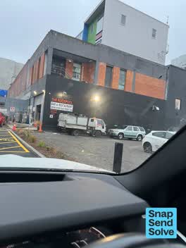 Litter —
Seagulls worrying open rubbish - litter everywhere- they need a skip with a closed lid
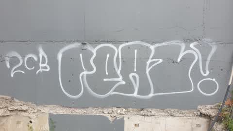
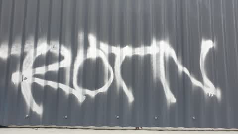
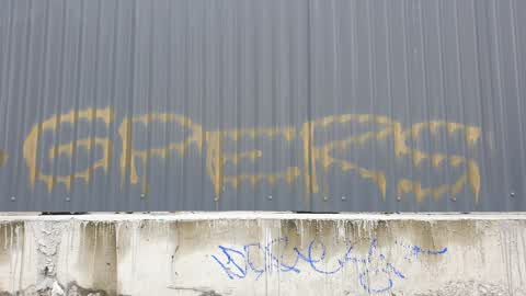
 Graffiti —
 Graffiti —
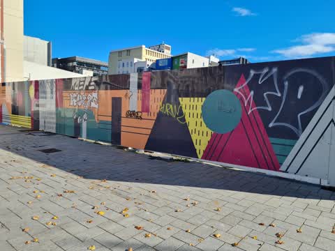
Large brick building in square has graffiti over door ways and sides
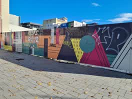 Graffiti —
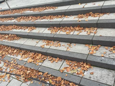
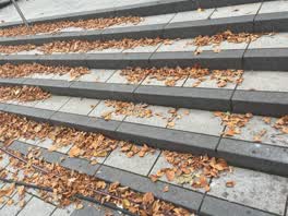 Rubbish/Recycling —
Leaves everywhere at the Cathedral Square around, not looking good at all since tourists coming back to the CBD. Thank you
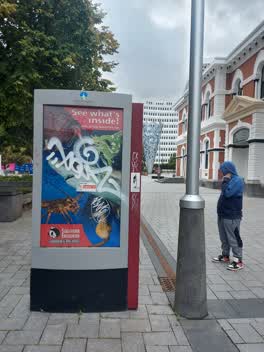 Graffiti —
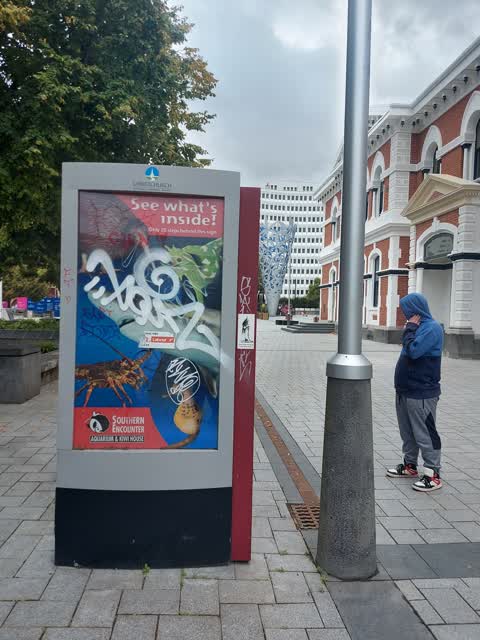
Graffiti on CCC billboard in cathedral square near the old Grand Cathedral Sq/clock tower building.
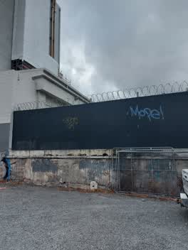 Graffiti —
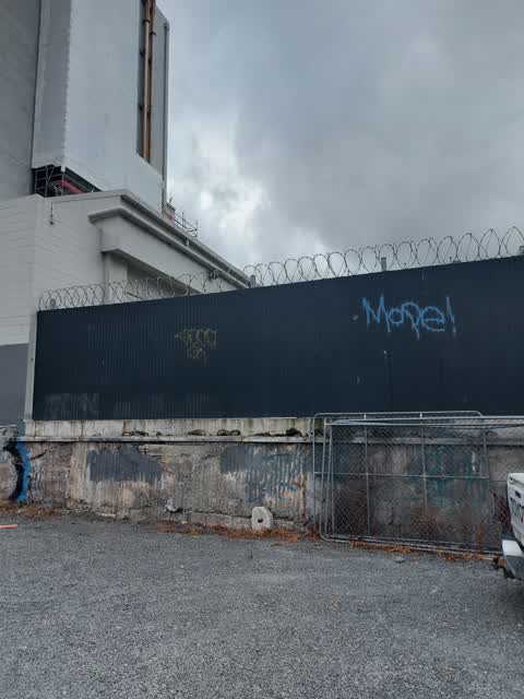
Graffiti on metal fence that has barbed wire on top around 90 Worscester Blvd at back of car park
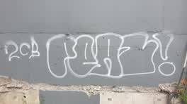 Graffiti —
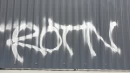 Graffiti —
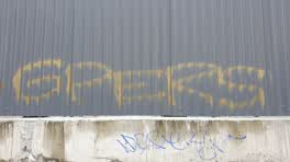 Graffiti —
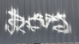 Graffiti —
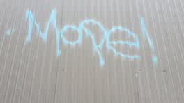 Graffiti —
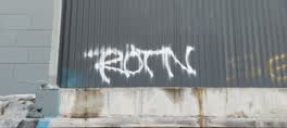 Graffiti —
Also reported on Cathedral Square
- 105 Cathedral Square — 173 reports
- 53 Cathedral Square — 108 reports
- 100 Cathedral Square — 95 reports
- 9 Cathedral Square — 91 reports
- 31 Cathedral Square — 82 reports
- 99 Cathedral Square — 81 reports
- 2 Cathedral Square — 79 reports
- 50 Cathedral Square — 54 reports
The street’s crash record
NZTA’s record names Cathedral Square in 8 crashes that hurt somebody since 2006 — 0 seriously hurt, nobody killed.
The green nearby
- Godley Statue Reserve — 59 m to the edge · Botanic
- Cathedral Square — 106 m to the edge · Botanic
- Scott Statue Reserve — 115 m to the edge · Botanic
- City Mall — 165 m to the edge
- The Stewart Plaza — 165 m to the edge
Parks within half a kilometre, measured to the boundary — the council’s open data.
The civic shelf nearby
- Turanga Library — 210 m away · Library · Cathedral Square, Christchurch
- Triangle — 227 m away · Car park
- Civic Offices — 284 m away · Council office
- Armagh St — 368 m away · Car park
- Re:start - Lichfield St — 401 m away · Car park
- Aldersgate — 401 m away · Car park
- Scales — 415 m away · Car park
Libraries, halls and the rest within half a kilometre — the council’s open data.
On the doorstep
- Scoff & Quaff Tours — 49 m away · Attractions
- Caveman — 58 m away · Fast food
- Sweet & Savage — 63 m away · Fast food
- Christchurch Tram — 64 m away · Ticket
Businesses within four hundred metres, measured at the pin — OpenStreetMap and the council directories.
The bus nearby
- Hereford St near Colombo St — 219 m away · route 8
- Hereford St near Colombo St — 220 m away · route 8
The closest Metro stops, within four hundred and fifty metres.
The tracks through here
- Walk and bike track through Christchurch Central City — 41 m to the line · walk · bike
- Walk and bike track through Christchurch Central City — 104 m to the line · walk · bike
- Walk and bike track through Christchurch Central City — 135 m to the line · walk · bike
- Walk and bike track through Christchurch Central City — 140 m to the line · walk · bike
- Walk and bike track through Christchurch Central City — 148 m to the line · walk · bike
Tracks whose line passes within half a kilometre, measured to the line itself — the council’s open data.
The named ground
Named water within 500 m of this address, measured to the line or the edge; Named places within 1.5 km of this address; the council’s own structure register — bridges, boardwalks and steps standing nearby — the open map’s record.
The remembered names nearby
- Citizens’ War Memorial / Originally Dedicated on 9 June 1937 — 113 m away ·
Citizens’ War Memorial / Originally dedicated on 9 June 1937 / Damaged by the Canterbury E
· 2023 - The Combined Services / [service Crests] / Navy — 115 m away ·
THE COMBINED SERVICES / [service crests] / NAVY / NEW ZEALAND ARMY / AIR FORCE / MERCHANT
· 2023 - Christchurch and Antarctica — Gateway City Historical Plaque — 126 m away ·
CHRISTCHURCH AND ANTARCTICA — gateway city historical plaque
· 2009
Inscribed plaques within two hundred and fifty metres — the register’s pins, not surveyed spots. The whole roll is at /plaques.
Renting nearby
new bonds in Christchurch Central City ran about $508 a week — $42 below the city median of $550 — the suburb page keeps the rent record →.
What was here — Commercial Building and Setting, Former Chief Post Office
36 m away · 1 Cathedral Square · located to ±33 m · the place’s own record →
On the register. Nothing researched here yet.
What was here — Godley Statue, Godley Plot and Setting
80 m away · 105 Cathedral Square · located to ±17 m · the place’s own record →
On the register. Nothing researched here yet.
What was here — Public Trust Building
81 m away · 152 Oxford Terrace · located to ±24 m · the place’s own record →
On the register. Nothing researched here yet.
What was here — Citizens' War Memorial and Setting
119 m away · 99 Cathedral Square · located to ±8 m · the place’s own record →
On the register. Nothing researched here yet.
What was here — Cathedral Square and Setting
on this spot · located to ±138 m · the place’s own record →
On the register. Nothing researched here yet.
The civic layer
This ground votes in Central ward — the Papanui-Innes-Central community board. Ward lines don’t always follow suburb lines; this one is measured at the pin, not the suburb’s centre.
What stood on this ground → · On the map → · From the air — the Crown’s aerials back to 1936; search the address on RetroLens →
Questions, answered briefly
17 council reports on record since November 2017 — most often graffiti (12), litter (2), rubbish/recycling (1).
Christchurch Central City, Christchurch — on Cathedral Square.
The heritage register names 5 places at or beside it — Commercial Building and Setting, Former Chief Post Office, Godley Statue, Godley Plot and Setting.
Godley Statue Reserve — 59 m to its edge.