339 Tuam Street, Christchurch Central City
18 reports on record since March 2022 · 14 with photographs. The street’s heaviest record is 278 Tuam Street, 89 reports on file. Indicative rating valuation and school zones, hazards, bin day and what stood here before.
What gets reported here
Photographed here 14 on record






Reported here
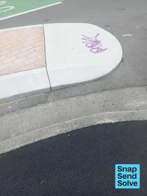
 Graffiti on a road, footpath or bridge,
 Graffiti on a road, footpath or bridge,
graffiti on concrete island
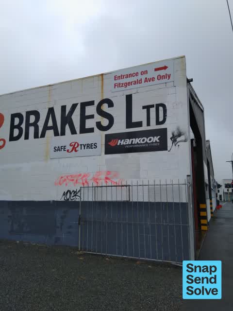
 Graffiti on a fence, building or structure,
graffiti on island
 Graffiti on a road, footpath or bridge,
graffiti on island
 Graffiti on a fence, building or structure,
Graffiti on wall
 Graffiti on a fence, building or structure,
See pic
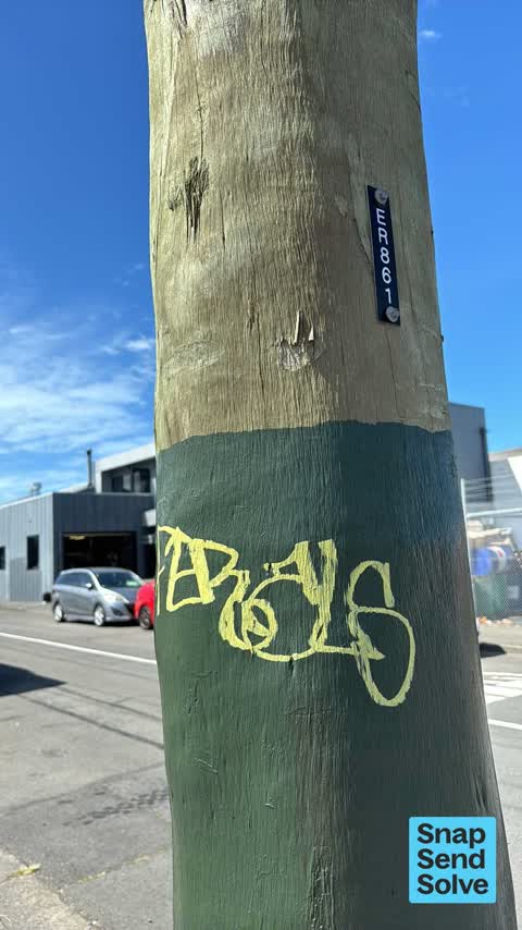
 Graffiti on a cabinet, pole or railway asset,
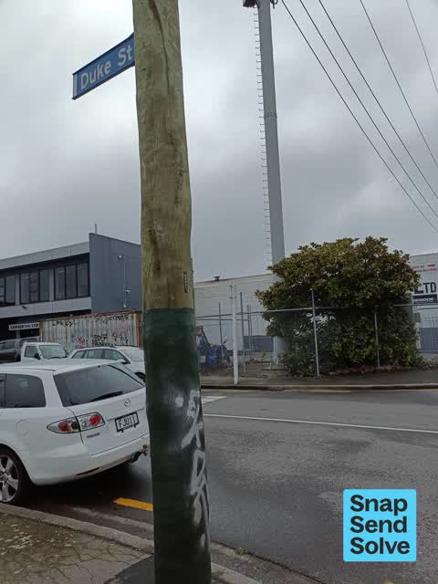
Yellow paint tag on ER861 wooden pole by the corner of Duke and Tuam Streets.
 Graffiti on a cabinet, pole or railway asset,
 Graffiti on a fence, building or structure,
 Graffiti,
Has been there quite a few weeks. I reported it ages ago
- Graffiti,
- Graffiti,
- Graffiti,
- Graffiti,
 Graffiti,
 Graffiti,
Anti vax misinformation sticky tag needs removal from wooden pole on the corner of Duke and Tuam Streets.
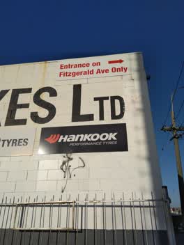 Graffiti,
 Graffiti,
Also reported on Tuam Street
- 278 Tuam Street, 89 reports
- 286 Tuam Street, 52 reports
- 16 Tuam Street, 52 reports
- 94 Tuam Street, 49 reports
- 189 Tuam Street, 38 reports
- 322 Tuam Street, 31 reports
- 284 Tuam Street, 29 reports
- 290 Tuam Street, 28 reports
The street’s crash record
NZTA’s record names Tuam Street in 144 crashes that hurt somebody since 2006, 18 seriously hurt, nobody killed.
The green nearby
- Raglan Reserve, 359 m to the edge
- Wilson Park, 490 m to the edge
Parks within half a kilometre, measured to the boundary, the council’s open data.
The civic shelf nearby
- St Asaph, 498 m away · Car park
Libraries, halls and the rest within half a kilometre, the council’s open data.
On the doorstep
- Car Aid, 24 m away · Car repair
- Safe R Brakes, 39 m away · Car repair
- Bunrunners, 43 m away · Cafés
- Form, 52 m away · Electrical
Businesses within four hundred metres, measured at the pin: OpenStreetMap and the council directories.
The bus nearby
The closest Metro stops, within four hundred and fifty metres.
The tracks through here
- Walk and bike track through Christchurch Central City, 10 m to the line · walk · bike
- Walk and bike track through Christchurch Central City, 70 m to the line · walk · bike
- Walk and bike track through Christchurch Central City, 70 m to the line · walk · bike
- Walk and bike track through Christchurch Central City, 302 m to the line · walk · bike
Tracks whose line passes within half a kilometre, measured to the line itself, the council’s open data.
The named ground
Named places within 1.5 km of this address, the open map’s record.
Renting nearby
new bonds in Christchurch Central City ran about $508 a week, $42 below the city median of $550, the suburb page keeps the rent record →.
The civic layer
This ground votes in Central ward, the Papanui-Innes-Central community board. Ward lines don’t always follow suburb lines; this one is measured at the pin, not the suburb’s centre.
What stood on this ground → · On the map → · From the air, the Crown’s aerials back to 1936; search the address on RetroLens →
Questions, answered briefly
18 council reports on record since March 2022, most often graffiti (9), graffiti on a fence, building or structure (4), graffiti on a road, footpath or bridge (3).
Christchurch Central City, Christchurch, on Tuam Street.
Nothing on the heritage register at this exact spot, the record around this ground →
Raglan Reserve, 359 m to its edge.