35 Tuam Street
7 council reports since August 2015, 7 carrying a photograph. The street’s heaviest record is 278 Tuam Street, 89 reports on file.
On the register here
- Former Dwelling and Setting, 14 Oxford Terrace (68m)
- Antigua Boatsheds and Setting, 2 Cambridge Terrace (171m)
From the air, then
Sourced from Canterbury Maps and partners. LINZ, CC BY 3.0 NZ. Each frame is cut from Environment Canterbury’s historic imagery MapServer for that decade, only where the Footprints layer names a CC BY survey (NZAM-covered spots stay out). RetroLens holds more Crown aerials →
The green nearby
- Botanic Gardens, 250 m to the edge · Botanic · 21 ha · playground, 53 pieces
- Tiffany Reserve, 300 m to the edge
- Nurses Memorial Chapel, 380 m to the edge · Botanic
- Friendship Corner, 382 m to the edge · Botanic
- Hagley Park North, 398 m to the edge · Sports ground · 91 ha
Parks within half a kilometre, measured to the boundary, the council’s open data. The whole roll is at /parks.
The civic shelf nearby
- Scales, 261 m away · Car park
- Christchurch Hospital Grounds, 426 m away · Car park
- Civic Offices, 448 m away · Council office
Libraries, halls and the rest within half a kilometre, the council’s open data.
On the doorstep
- Eats on Oxford, 39 m away · Food courts
- The Serious Sandwich - Eats on Oxford, 43 m away · Fast food
- Archibalds Jaguar & Land Rover, 45 m away · Car dealers
- Taste of Malaysia Kitchen - Eats on Oxford, 45 m away · Fast food
Businesses within four hundred metres, measured at the pin, OpenStreetMap and the council directories.
The bus nearby
- Christchurch Hospital Main Stop EB, 122 m away · route 3, route 5, route 7, route 60, route 80, route 81, route 84, route 85, route 86, route 91, route 92
- St Asaph St near Montreal St, 166 m away · route 3, route 5, route 7, route 60, route 80, route 81, route 84, route 85, route 86
The closest Metro stops, within four hundred and fifty metres.
The tracks through here
- Walk and bike track through Christchurch Central City, 4 m to the line · walk · bike
- Walk and bike track through Christchurch Central City, 109 m to the line · walk · bike
- Walk and bike track through Christchurch Central City, 110 m to the line · walk · bike
- Walk and bike track through Christchurch Central City, 126 m to the line · walk · bike
- Walk and bike track through Christchurch Central City, 142 m to the line · walk · bike
Tracks whose line passes within half a kilometre, the council’s open data.
The named ground
Named water within 500 m of this address, measured to the line or the edge; Named places within 1.5 km of this address; the council’s own structure register, bridges, boardwalks and steps standing nearby, the open map’s record.
Renting nearby
new bonds in Christchurch Central City ran about $508 a week, $42 below the city median of $550, the suburb page keeps the rent record →.
What gets reported here
Photographed here 7 on record



What’s on record
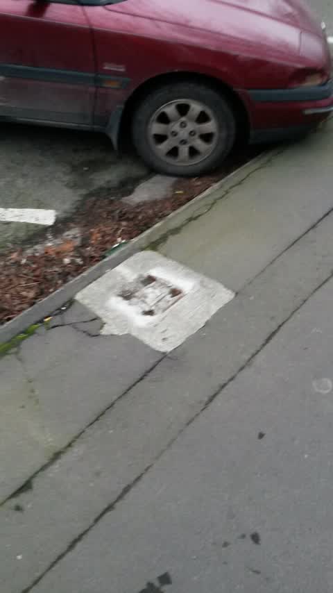
 Pavement - General, 10 Apr 2026
misding post
 Hazard, vehicle, 1 Oct 2024
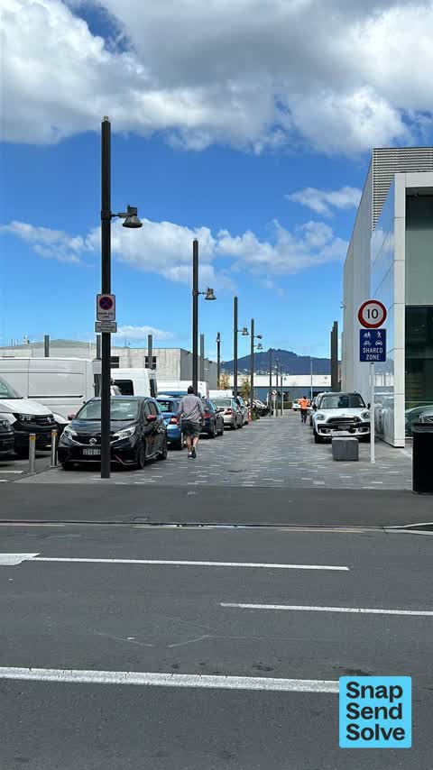
Vehicles parking all day in Shared Zone of Mauri Ora Lane - lane is vested with council as owner as of 5th July 2024. Can you please enforce
 Hazard, vehicle, 24 Sept 2024
Vehicles parking all day in Shared zone Mauri Ora lane is a owned by Council Can you please enforce illegal parking ?
 Hazard, vehicle, 23 Sept 2024
Vehicles illegally parking on Shared Zone of Mauri Ora Lane - note this laneway was Vested as council land on the 6th July 2024 therefore is
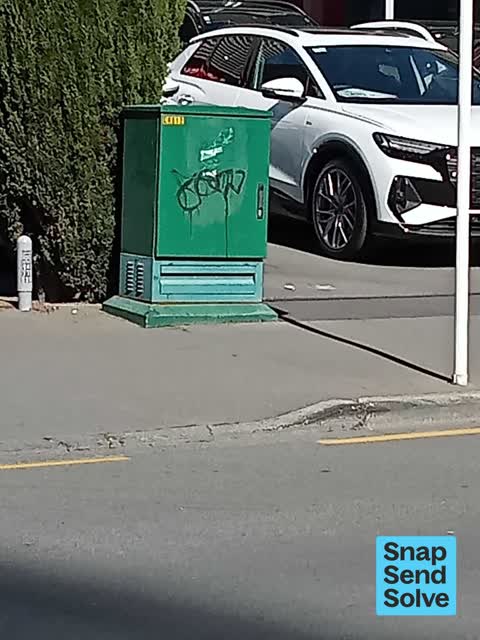
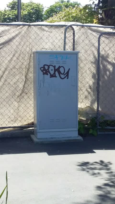
 Graffiti somewhere else, 10 Sept 2024
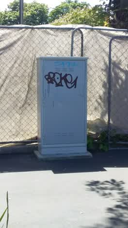 Graffiti, 4 Nov 2021
Roading/Streets, 14 Aug 2015
Meter missing op Pegasus pub on Oxford terrace
Elsewhere on Tuam Street
- 278 Tuam Street, 89 reports
- 286 Tuam Street, 52 reports
- 16 Tuam Street, 52 reports
- 94 Tuam Street, 49 reports
- 189 Tuam Street, 38 reports
- 322 Tuam Street, 31 reports
- 284 Tuam Street, 29 reports
- 290 Tuam Street, 28 reports
The street’s crash record
NZTA’s record names Tuam Street in 144 crashes that hurt somebody since 2006, 18 seriously hurt, nobody killed.
The civic layer
This ground votes in Central ward, the Papanui-Innes-Central community board is its local layer. Ward lines don’t always follow suburb lines; this one is measured at the pin, not the suburb’s centre. The whole roll is at /wards.
Tuam Street, the whole record → · Everything about Christchurch Central City → · What stood on this ground → · On the map → · From the air, RetroLens holds the Crown’s aerials back to 1936; search the address there →
Questions, answered briefly
7 council reports on record since August 2015, most often hazard, vehicle (3), roading/streets (1), pavement - general (1).
Christchurch Central City, Christchurch, on Tuam Street.
The heritage register names 2 places at or beside it, Former Dwelling and Setting, Antigua Boatsheds and Setting.
Botanic Gardens, 250 m to its edge, 21 ha.