508 Selwyn Street, Christchurch Central City
15 reports on record since June 2015 · 11 with photographs. The most-reported address on Selwyn Street. Indicative rating valuation and school zones, hazards, bin day and what stood here before.
What gets reported here
Photographed here 11 on record


Reported here
 Graffiti on a fence, building or structure —
graffiti on light lamp post pole
 Graffiti on a fence, building or structure —
Graffiti on fence posts of Ranui Apartments 508 Selwyn Street in three different spots
 Graffiti on a sign, mural or public art —
Ranui Apartments Sign right on the corner of Selwyn Street and Waller Tce has graffiti.
 Graffiti on a bus stop or public toilet —
- Graffiti —
- Graffiti —
- Graffiti —
- Graffiti —
 Damaged Road —
Pothole and valve
 Damaged Road —
Pothole and valve
 Pavement - Damaged —
This is the main pedestrian access for Hagley netball courts. They urgently need an upgrade to allowed 2 way traffic during winter season.
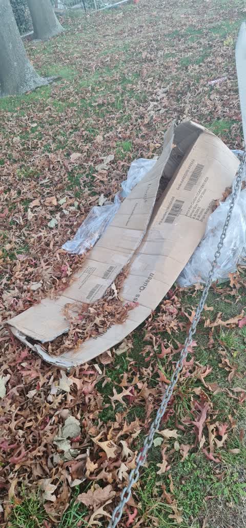
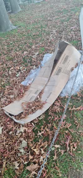 Rubbish/Recycling —
Has been then for a while. Can of Selwyn st and Wallace Tce christchurch
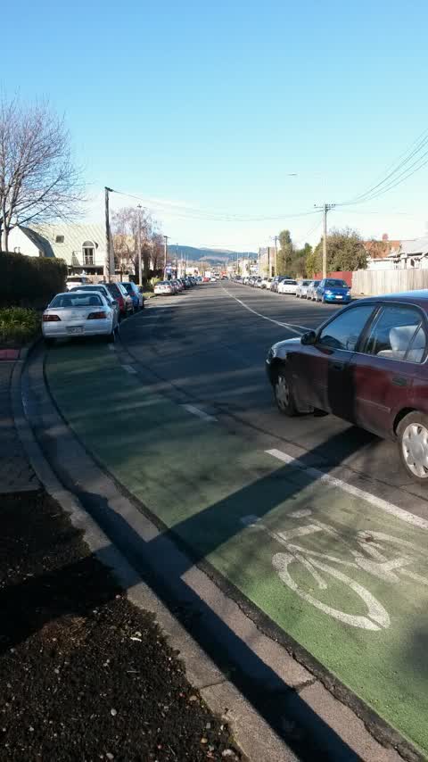
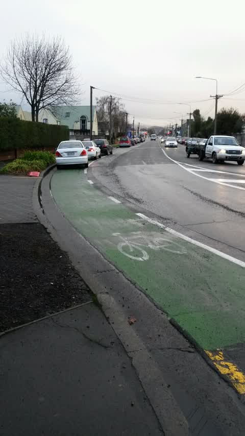
Roading/Streets —
Broken Yellow Lines needed next to cycle lane on Selwyn st just south of Waller Tce.
Roading/Streets —
Broken yellow lines need to be put in place next to cycle lane as parking enforcement can't issue infringements to cycle path without them o
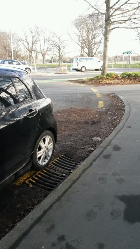
Roading/Streets —
Leaves etc need cleaning over broken yellow lines on Waller Tce/Selwyn st corner.
Also reported on Selwyn Street
- 488 Selwyn Street — 13 reports
- 504 Selwyn Street — 10 reports
- 498A Selwyn Street — 6 reports
- 489 Selwyn Street — 6 reports
- 480 Selwyn Street — 6 reports
- 475 Selwyn Street — 5 reports
- 479 Selwyn Street — 4 reports
- 492 Selwyn Street — 3 reports
The street’s crash record
NZTA’s record names Selwyn Street in 8 crashes that hurt somebody since 2006 — 2 seriously hurt, nobody killed.
The green nearby
- Hagley Park South — 388 m to the edge · Sports ground · 71 ha
- Nurses Memorial Chapel — 435 m to the edge · Botanic
- Disraeli Reserve — 497 m to the edge
Parks within half a kilometre, measured to the boundary — the council’s open data.
On the doorstep
- Hagley Theatre Company — 104 m away · Cinemas & theatres
- Coming: Health Precinct — 156 m away · Doctors & clinics
- Hagley Community College Pre-school — 164 m away · Business
- MIG Cars — 181 m away · Car dealers
Businesses within four hundred metres, measured at the pin — OpenStreetMap and the council directories.
The bus nearby
- Hagley Ave near Selwyn St — 64 m away · route 7, route 60, route 81
- Hagley Ave near Hagley High Sch — 74 m away · route 7, route 60, route 81, route 84, route 85
The closest Metro stops, within four hundred and fifty metres.
The tracks through here
- Walk and bike track through Christchurch Central City — 24 m to the line · walk · bike
- Walk and bike track through Christchurch Central City — 62 m to the line · walk · bike
- Walk and bike track through Christchurch Central City — 80 m to the line · walk · bike
- Walk and bike track through Christchurch Central City — 235 m to the line · walk · bike
- Walk and bike track through Christchurch Central City — 235 m to the line · walk · bike
Tracks whose line passes within half a kilometre, measured to the line itself — the council’s open data.
The named ground
Named water within 500 m of this address, measured to the line or the edge; Named places within 1.5 km of this address; the council’s own structure register — bridges, boardwalks and steps standing nearby — the open map’s record.
Renting nearby
new bonds in Christchurch Central City ran about $508 a week — $42 below the city median of $550 — the suburb page keeps the rent record →.
What was here — Former West Christchurch School/Hagley Community College and Setting
153 m away · 510E Hagley Avenue · located to ±63 m · the place’s own record →
On the register. Nothing researched here yet.
The civic layer
This ground votes in Central ward — the Papanui-Innes-Central community board. Ward lines don’t always follow suburb lines; this one is measured at the pin, not the suburb’s centre.
What stood on this ground → · On the map → · From the air — the Crown’s aerials back to 1936; search the address on RetroLens →
Questions, answered briefly
15 council reports on record since June 2015 — most often graffiti (4), roading/streets (3), graffiti on a fence, building or structure (2).
Christchurch Central City, Christchurch — on Selwyn Street.
The heritage register names a place at or beside it — Former West Christchurch School/Hagley Community College and Setting.
Hagley Park South — 388 m to its edge, 71 ha.