566 Colombo Street, Christchurch Central City
19 reports on record since April 2019 · 17 with photographs. The street’s heaviest record is 794 Colombo Street — 159 reports on file. Indicative rating valuation and school zones, hazards, bin day and what stood here before.
What gets reported here
Photographed here 17 on record


Reported here
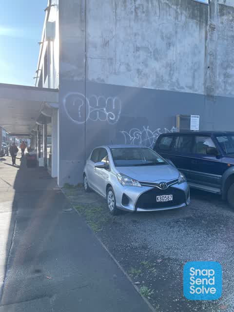
 Graffiti on a fence, building or structure —
  Graffiti on a fence, building or structure —
 Graffiti on building
 Graffiti on a sign, mural or public art —
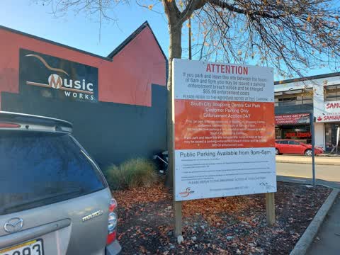
 Graffiti on sign board
 Graffiti somewhere else —
 As Southside wall of building 568 Colombo st
 Graffiti somewhere else —
  Graffiti on a fence, building or structure —
 Graffiti across the side of the building.
 Graffiti on a fence, building or structure —
 On the side of a building.
 Graffiti —
 Graffiti on local businesses to remove
 Pavement - Damaged —
 Pothole in pavement to leave fill & seal
- Graffiti —
- Litter —
 Graffiti —
 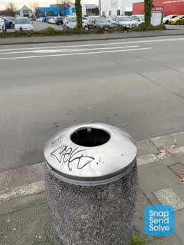 Graffiti —
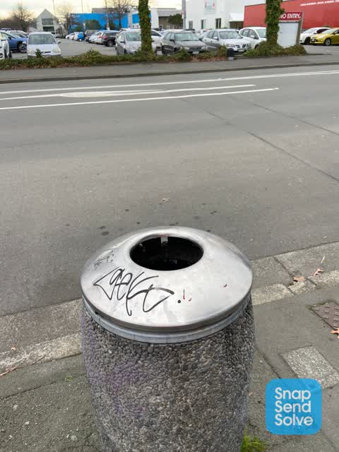
 Black paint tag on steel rubbish bin lid by 564 Colombo Street.
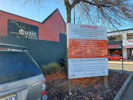 Graffiti —
 Graffiti on back of sign at the car park exit for Southcity mall onto Colombo St One tag says Golly wog B.P.N.Z.
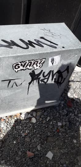 Graffiti —
 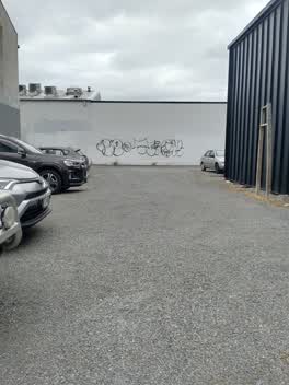 Graffiti —
 Big tag on white wall behind carpark
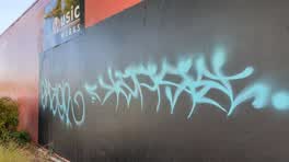 Graffiti —
 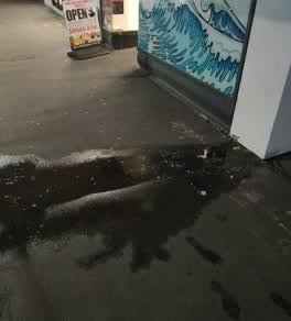 Water Leak —
 Graffiti —
Also reported on Colombo Street
- 794 Colombo Street — 159 reports
- 673 Colombo Street — 102 reports
- 781 Colombo Street — 55 reports
- 521 Colombo Street — 46 reports
- 722 Colombo Street — 45 reports
- 569 Colombo Street — 45 reports
- 527 Colombo Street — 41 reports
- 711 Colombo Street — 38 reports
The street’s crash record
NZTA’s record names Colombo Street in 177 crashes that hurt somebody since 2006 — 1 person killed, 32 seriously hurt.
The green nearby
- Carlyle Reserve — 403 m to the edge
- Excelsior Hotel Reserve — 409 m to the edge · Botanic
- Friendship Corner — 477 m to the edge · Botanic
- City Mall — 482 m to the edge
- Tiffany Reserve — 495 m to the edge
Parks within half a kilometre, measured to the boundary — the council’s open data.
The civic shelf nearby
- Re:start - Lichfield St — 302 m away · Car park
Libraries, halls and the rest within half a kilometre — the council’s open data.
On the doorstep
- Mak's Photo Lab — 14 m away · Photographic Laboratory
- Samurai Bowl — 15 m away · Restaurants
- CJ's Music Works — 29 m away · Musical Instrument
- Shree Jagannath — 33 m away · Restaurants
Businesses within four hundred metres, measured at the pin — OpenStreetMap and the council directories.
The bus nearby
- South City (Northbound) — 98 m away · route 1, route 8, route 44
- Smiths City (Southbound) — 110 m away · route 1, route 8, route 44
The closest Metro stops, within four hundred and fifty metres.
The tracks through here
- Walk and bike track through Christchurch Central City — 242 m to the line · walk · bike
- Walk and bike track through Christchurch Central City — 249 m to the line · walk · bike
- Walk and bike track through Christchurch Central City — 266 m to the line · walk · bike
- Walk and bike track through Christchurch Central City — 266 m to the line · walk · bike
- Walk and bike track through Christchurch Central City — 266 m to the line · walk · bike
Tracks whose line passes within half a kilometre, measured to the line itself — the council’s open data.
The named ground
Named places within 1.5 km of this address — the open map’s record.
Renting nearby
new bonds in Christchurch Central City ran about $508 a week — $42 below the city median of $550 — the suburb page keeps the rent record →.
What was here — Former P & D Duncan Ltd Building and Setting
160 m away · 7/204 St Asaph Street · located to ±18 m · the place’s own record →
On the register. Nothing researched here yet.
What was here — Former R. Buchanan & Sons' City Foundry and Setting
178 m away · 2/210 St Asaph Street · located to ±14 m · the place’s own record →
On the register. Nothing researched here yet.
What was here — Colonial Motor Company Garage and Setting
182 m away · 201 St Asaph Street · located to ±40 m · the place’s own record →
On the register. Nothing researched here yet.
What was here — New City Hotel and Setting
183 m away · located to ±20 m · the place’s own record →
On the register. Nothing researched here yet.
The civic layer
This ground votes in Central ward — the Papanui-Innes-Central community board. Ward lines don’t always follow suburb lines; this one is measured at the pin, not the suburb’s centre.
What stood on this ground → · On the map → · From the air — the Crown’s aerials back to 1936; search the address on RetroLens →
Questions, answered briefly
19 council reports on record since April 2019 — most often graffiti (9), graffiti on a fence, building or structure (4), graffiti somewhere else (2).
Christchurch Central City, Christchurch — on Colombo Street.
The heritage register names 4 places at or beside it — Former P & D Duncan Ltd Building and Setting, Former R. Buchanan & Sons' City Foundry and Setting.
Carlyle Reserve — 403 m to its edge.