66 Chester St W, Christchurch Central City
18 reports on record since September 2017 · 18 with photographs. The most-reported address on Chester St W. Indicative rating valuation and school zones, hazards, bin day and what stood here before.
What gets reported here
- Graffiti — 18
Photographed here 18 on record
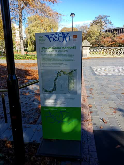
Reported here
Graffiti —
Graffiti —
Graffiti —
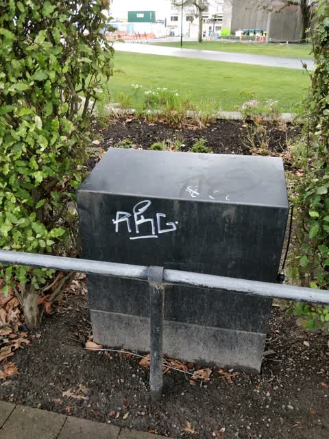
Behind Floral Clock
Graffiti —
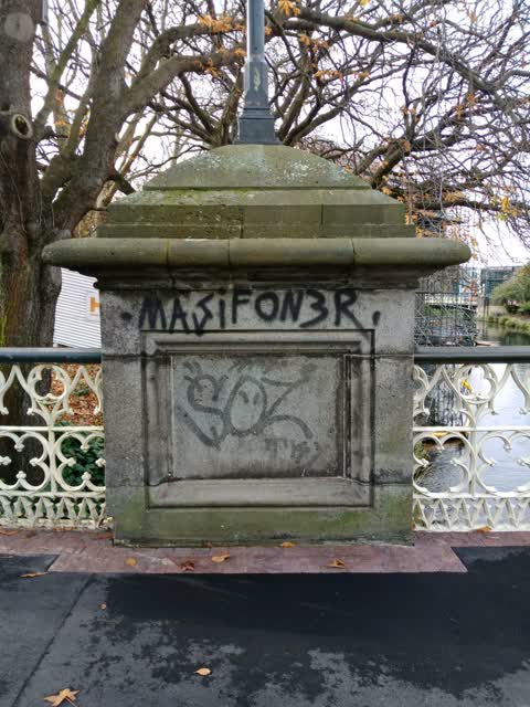
Victoria Square bridge outside Town Hall
Graffiti —
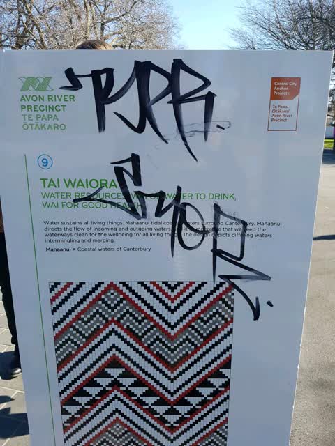
Graffiti on sign on Victoria square bridge
Graffiti —
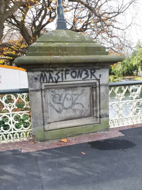
On town hall side of bridge
Graffiti —
On the bridge in Victoria square
Graffiti —
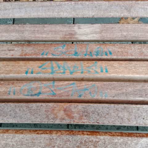
On bench by fountain
Graffiti —
Graffiti —
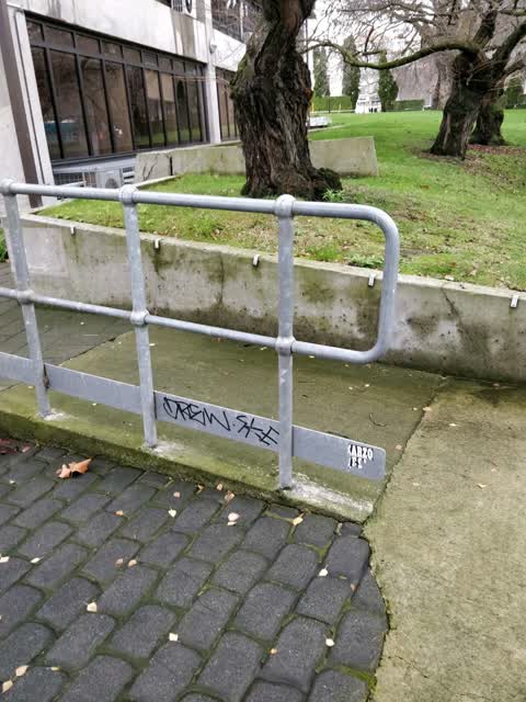
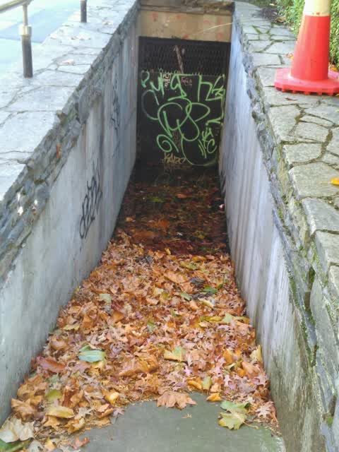
Graffiti on walls and door leading to floral clock workings
Graffiti —
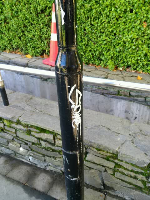
On lamppost behind floral clock hedge
Graffiti —
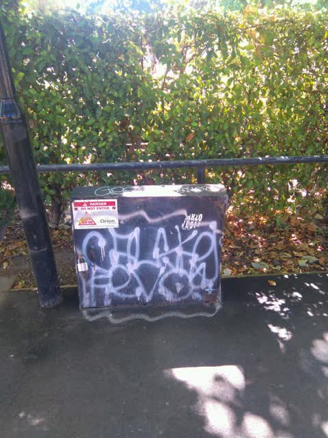
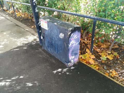
Remnants of spray paint and stickers on orion box and lamp post behind hedge near floral clock, towards old courts
Graffiti —
On pillar of bridge leading into Victoria square from the floral clock
Graffiti —
Lamp post by path behind old courthouse
Graffiti —
Graffiti —
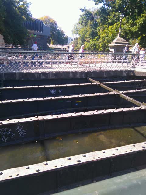
Five separate pieces on bridge spans
Graffiti —
Pathway at the back of floral clock
Graffiti —
Behind court buildings opposite riverbank from Victoria square
Also reported on Chester St W
- 55 Chester St W — 5 reports
- 54 Chester St W — 2 reports
- 35 Chester St W — 2 reports
- 51 Chester St W — 1 report
- 45 Chester St W — 1 report
- 40 Chester St W — 1 report
- 39-45 Chester St W — 1 report
- 36 Chester St W — 1 report
The green nearby
- Victoria Square — 23 m to the edge · Botanic · 2 ha
- Canterbury Provincial Council Reserve — 117 m to the edge · Botanic
- Edmonds Band Rotunda — 254 m to the edge · Botanic
- Victoria Triangles — 288 m to the edge
- Cranmer Square — 311 m to the edge · Botanic · 2 ha
Parks within half a kilometre, measured to the boundary — the council’s open data.
The civic shelf nearby
- Aldersgate — 142 m away · Car park
- Armagh St — 185 m away · Car park
- Turanga Library — 315 m away · Library · Cathedral Square, Christchurch
Libraries, halls and the rest within half a kilometre — the council’s open data.
On the doorstep
- Christchurch Town Hall — 73 m away · Venues & events
- Millie's House — 105 m away · Childcare
- Ice Cream Charlie — 107 m away · Fast food
- Prison Escape — 119 m away · Attractions
Businesses within four hundred metres, measured at the pin — OpenStreetMap and the council directories.
The bus nearby
- Kilmore Street Town Hall — 130 m away · route 1, route 29, route 95
- Kilmore St near Manchester St — 283 m away · route 1, route 27, route 29, route 95
The closest Metro stops, within four hundred and fifty metres.
The tracks through here
- Walk and bike track through Christchurch Central City — 108 m to the line · walk · bike
- Walk and bike track through Christchurch Central City — 108 m to the line · walk · bike
- Walk and bike track through Christchurch Central City — 173 m to the line · walk · bike
- Walk and bike track through Christchurch Central City — 255 m to the line · walk · bike
- Walk and bike track through Christchurch Central City — 350 m to the line · walk · bike
Tracks whose line passes within half a kilometre, measured to the line itself — the council’s open data.
The named ground
Named water within 500 m of this address, measured to the line or the edge; Named places within 1.5 km of this address; the council’s own structure register — bridges, boardwalks and steps standing nearby — the open map’s record.
The remembered names nearby
- Victoria Bridge — Historical Description 1851–1989 — 25 m away ·
VICTORIA BRIDGE — HISTORICAL DESCRIPTION 1851–1989
· 2009 - Victoria Bridge — 26 m away ·
VICTORIA BRIDGE / A wooden bridge – ‘Papanui Bridge’ – was erected on this site in 1851. T
· 2018 - ‘victoria Bridge’ Was Closed to Traffic in April 1988 — 26 m away ·
‘Victoria Bridge’ was closed to traffic in April 1988 / prior to the commencement of Stage
· 2018
Inscribed plaques within two hundred and fifty metres — the register’s pins, not surveyed spots. The whole roll is at /plaques.
Renting nearby
new bonds in Christchurch Central City ran about $508 a week — $42 below the city median of $550 — the suburb page keeps the rent record →.
What was here — Former Market Place Bridge/Hamish Hay Bridge and Setting
on this spot · located to ±31 m · the place’s own record →
On the register. Nothing researched here yet.
What was here — Floral Clock and Setting
32 m away · 66 Chester Street West · located to ±5 m · the place’s own record →
On the register. Nothing researched here yet.
What was here — Captain James Cook Statue and Setting
55 m away · 89 Armagh Street · located to ±2 m · the place’s own record →
On the register. Nothing researched here yet.
What was here — Horse Watering Ramp and Setting
69 m away · located to ±7 m · the place’s own record →
On the register. Nothing researched here yet.
What was here — The Christchurch Town Hall and Setting
92 m away · located to ±79 m · the place’s own record →
On the register. Nothing researched here yet.
The civic layer
This ground votes in Central ward — the Papanui-Innes-Central community board. Ward lines don’t always follow suburb lines; this one is measured at the pin, not the suburb’s centre.
What stood on this ground → · On the map → · From the air — the Crown’s aerials back to 1936; search the address on RetroLens →
Questions, answered briefly
18 council reports on record since September 2017 — most often graffiti (18).
Christchurch Central City, Christchurch — on Chester St W.
The heritage register names 5 places at or beside it — Former Market Place Bridge/Hamish Hay Bridge and Setting, Floral Clock and Setting.
Victoria Square — 23 m to its edge, 2 ha.